ALGAR VIEWPOINT

 Back
Back 

Route data
Poblado de Algar
Mirador de Algar

Distance
4.4 Km

Duration
1h
35min
Lineal route

Max. elevation
267 m.

Max. elevation
161 m.
Weather forecast
Carcabuey
 22°C
22°CReal feel 22°
broken clouds
-
Mon
5/10
24° /20°
 36%
36%
-
Tue
6/10
21° /19°
63%
-
Wed
7/1021° /17°
58%
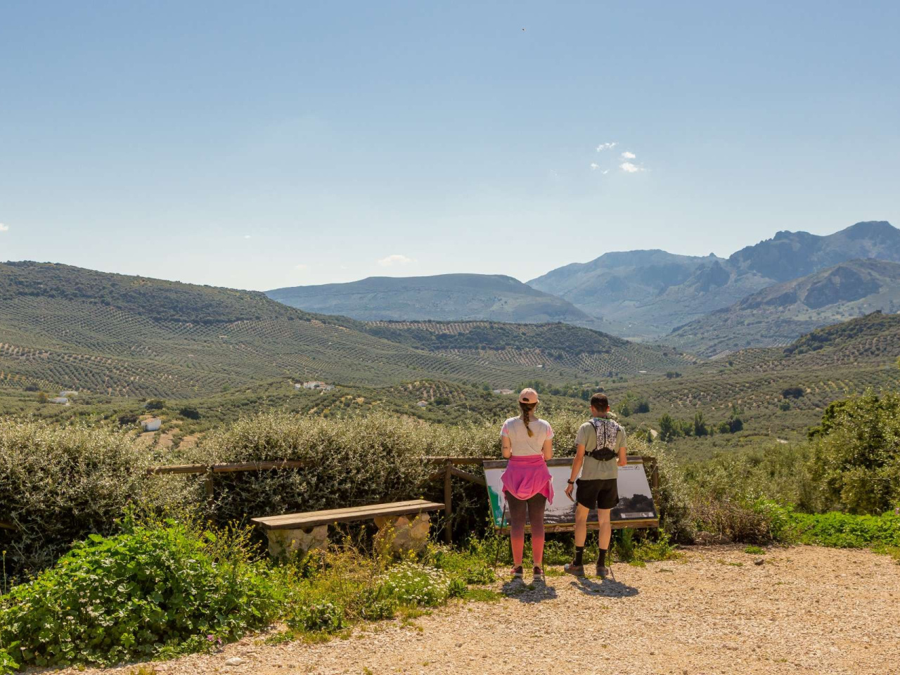
A trail that winds through areas of great natural and scenic beauty, notably the surroundings of Peñarrubia, the Algar stream and the views from the Mirador del Algar viewpoint.
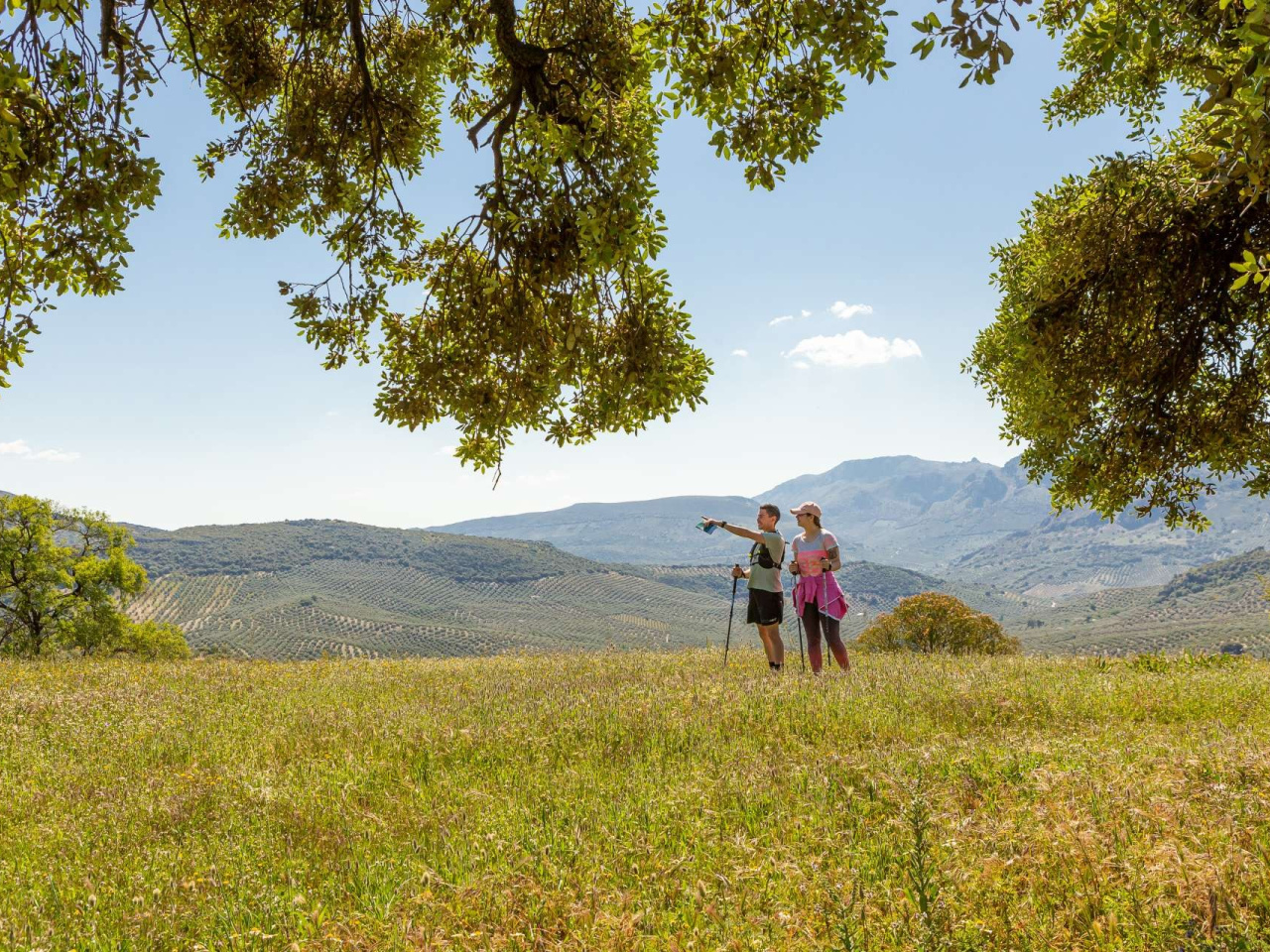
The village of Algar is the main rural settlement in the municipality of Carcabuey, in the vicinity of which there are also several smaller villages and farmsteads. Our route begins here, in a setting that faithfully reflects the characteristics of the Sierras Subbéticas Natural Park, where agricultural activity coexists with the conservation of natural areas of immense value. We will head towards the Peñarrubia area along the ascending path of the same name. Once we leave the village centre behind, the tarmac road will give way to a dirt track and we will cross what is known as the Chilanco de Ramírez (Ramírez stream). Throughout this long climb, a landscape of great beauty will unfold before us, where scattered holm oaks and views over the Molejoncillo mountains provide a contrast to the olive groves that dominate the surrounding slopes. On this stretch, we will pass the Tres Luces farmhouse and the ruins of Casilla Palitroque before reaching the Cueva Lóbrega farmhouse, so named due to the presence of this cave behind the buildings that make up this farmstead. The remains of the Peñarrubia Bajera farmhouse signal our imminent arrival at the highest point of the route and, with it, the farmhouse and hamlet of Peñarrubia. Here we are greeted by a beautiful threshing floor with stones arranged in a radial pattern, the only remnant remaining on the site of the once-important Peñarrubia farmhouse. Here, the rocky outcrops, which begin to proliferate due to the altitude, serve to protect interesting copses and patches of natural vegetation, as well as acting as magnificent vantage points from which to enjoy the relief and landscapes of the Subbética. The most unique and striking of these is the Peñon Gigante, which enjoys a privileged location and a distinctive geomorphology, surrounded by many of the peaks that form the Sierra Horconera, the Sierra Gallinera and the Sierra de Rute. From Peñarrubia, we will descend to the bed of the Algar stream, which we will cross near the farmhouse’s well. From here, near the cliffs of Peñarrubia where cave paintings have recently been discovered in the rock shelters, we will head towards Escuchagranos along a stretch of path which, in certain sections, narrows to a strip of natural vegetation before disappearing for a few metres amongst the olive trees. Upon rejoining the path, we will walk through a beautiful holm oak woodland until we reach the plateau of the farmhouse itself. On this final stretch, we will take the C0-7212 road until we reach the Algar Viewpoint, the end of our route, where we can enjoy some magnificent views.
Weather forecast
Carcabuey
22°CReal feel 22°C
broken clouds
-
Mon
5/1024° /20°
36%
-
Tue
6/1021° /19°
63%
-
Wed
7/1021° /17°
58%