Benamejí Scenic Cycle Route

 Back
Back 

Route data
Instalaciones Deportivas de Benamejí
Instalaciones Deportivas de Benamejí

Distance
26.3 Km

Duration
1h
29min
Circular route

Difficulty
Medium

Max. elevation
692 m.

Max. elevation
692 m.
Weather forecast
Benamejí
 27°C
27°CReal feel 28°
broken clouds
-
Mon
5/10
28° /22°
 43%
43%
-
Tue
6/1024° /19°
54%
-
Wed
7/1023° /18°
54%
A circular cycle route to explore the stunning landscapes and the natural and cultural heritage of Benamejí on two wheels.
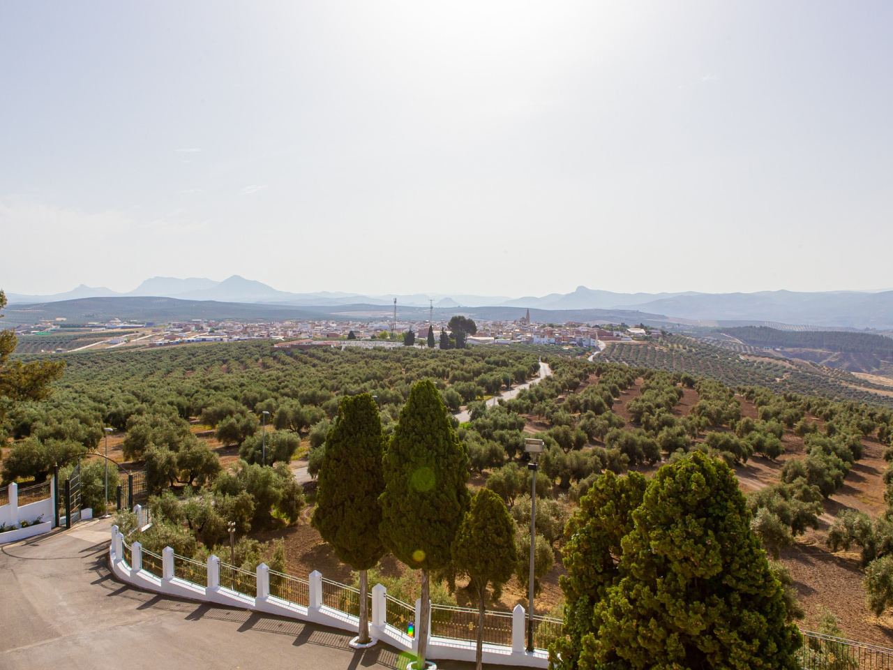
A circular cycle route linking some of the municipality’s key scenic, heritage and religious landmarks. It passes through olive groves, vegetable gardens, pine forests, the banks of the River Genil and several urban spots of particular interest.
Along the route, it links places such as the Sanctuary of María Santísima de Gracia Coronada, the Paraje de La Barca, La Aceña, the Hernán Ruiz II bridge, the waterwheels on the River Genil, the Gómez Arias castle, the Paraje de Los Caños and the Mirador de La Grieta.
Weather forecast
Benamejí
27°CReal feel 28°C
broken clouds
-
Mon
5/1028° /22°
43%
-
Tue
6/1024° /19°
54%
-
Wed
7/1023° /18°
54%