BLUE ROUTES OF THE SPRINGS AND WELLS

BLUE ROUTES OF THE SPRINGS AND WELLS

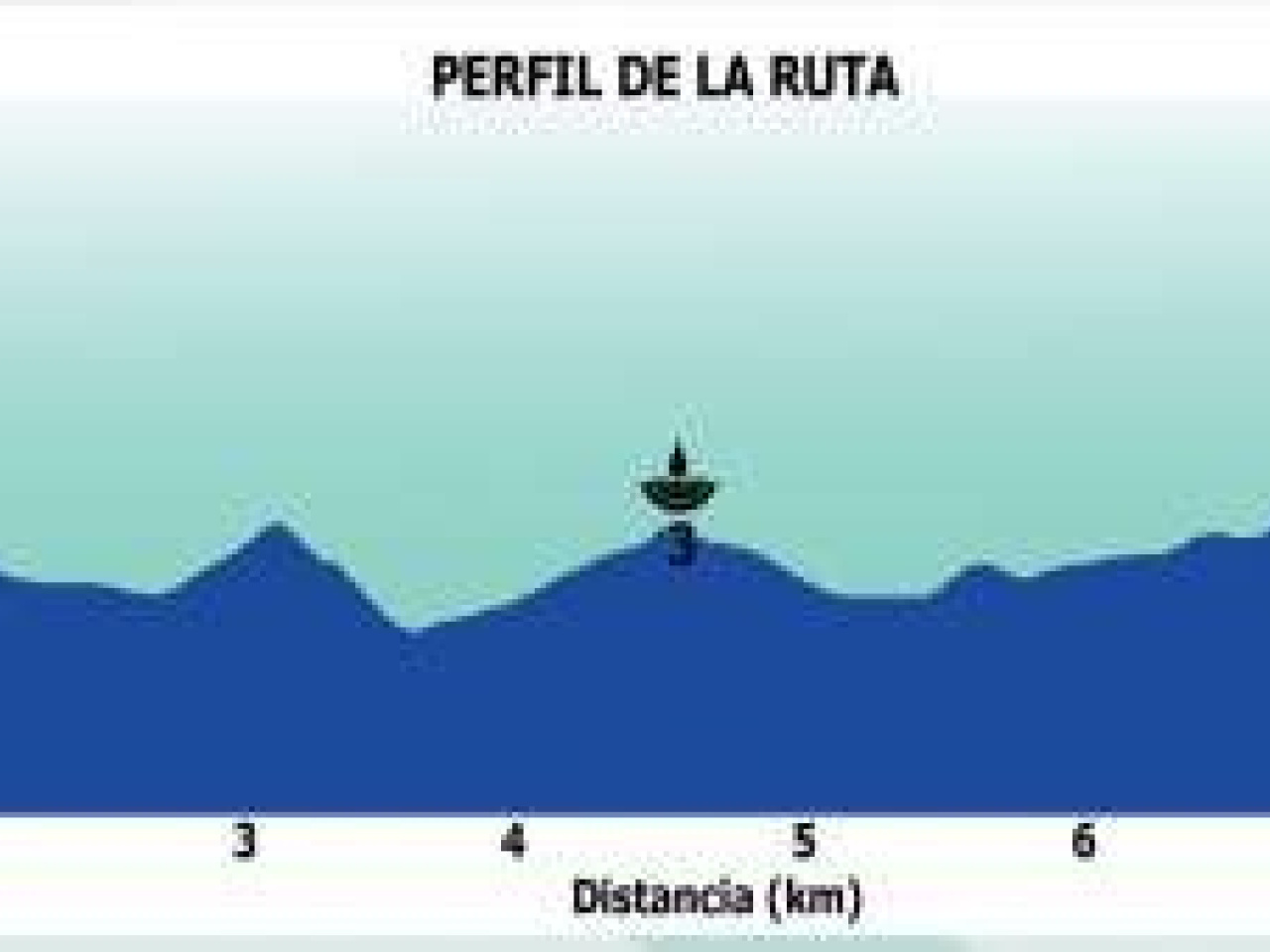
Route data

Distance
9.1Km
Duration
2h 40min
Circular route
Max. elevation
210 m.
Max. elevation
189 m.

Weather forecast

Carcabuey

Weather Image 25°C
Real feel 25°
clear sky
  • Mon
    10/08

    Weather Image

    37° /27°

    Humidity Image 12%

  • Tue
    11/08

    Weather Image

    38° /29°

    Humidity Image 11%

  • Wed
    12/08

    Weather Image

    40° /30°

    Humidity Image 11%

Historic fountains and rural springs offer a picturesque tour featuring ancient inscriptions, restored mills and traditional uses of water.
2. BLUE ROUTE. We begin the route at (1) Fuente del Cañuelo. Located halfway along Paseo del Cañuelo, below the road. On its façade is an inscription referring to its construction in 1788, during the reign of Charles II. It is a fountain that is much visited and cherished by the town’s residents. (2) Fuente de la Pililla, situated at the end of Calle Zagrilla, at the foot of a hill on which the village’s drinking water reservoirs and the municipal cemetery are located. (3) Fuente de las Palomas, whose waters once powered an old, restored mill. It is a spring with a rural fountain and a drinking trough. Its waters are used for both rural and urban purposes, as well as for irrigation. (4) Fuente Catalina, a modest rural fountain much loved by the residents of Carcabeuy. It is situated to one side of the CO-7209 road coming from Cabra (formerly the C-336). (5) Fuente Era Alta (C/ Era Alta), built in 1940, where both passers-by and livestock and pack animals quenched their thirst, marking the end of the blue route here.

Weather forecast

Carcabuey

Weather Image 25°C
Real feel 25°C
clear sky
  • Mon
    10/08

    Weather Image

    37° /27°

    Humidity Image 12%

  • Tue
    11/08

    Weather Image

    38° /29°

    Humidity Image 11%

  • Wed
    12/08

    Weather Image

    40° /30°

    Humidity Image 11%