CAÑADA STOVES

 Back
Back 

Route data
C/ San Marcos
C/ San Isidro

Distance
9.9 Km

Duration
3h
20min
Circular route

Max. elevation
418 m.

Max. elevation
383 m.
Weather forecast
Carcabuey
 21°C
21°CReal feel 21°
broken clouds
-
Mon
5/10
23° /19°
 37%
37%
-
Tue
6/10
20° /17°
63%
-
Wed
7/1019° /15°
59%
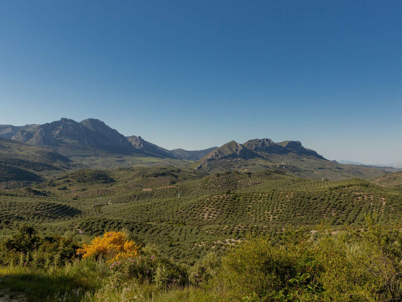
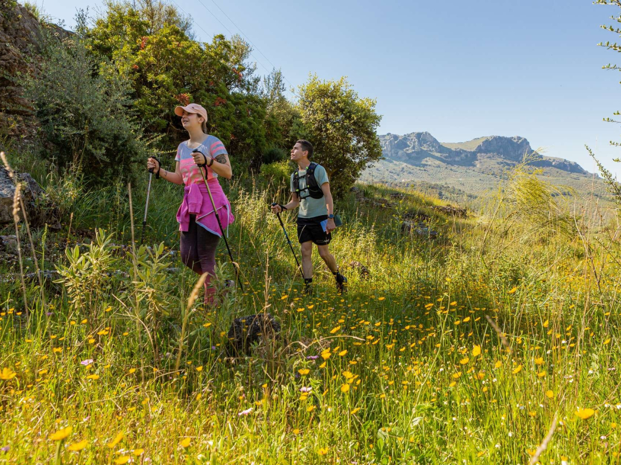
A trail offering a wealth of scenic beauty, with highlights including the pass at Puerto Escaño, the stream and the sweeping views of the Sierras Subbéticas.
We start the trail on Calle San Marcos, leaving the path to La Luca and Puerto Escaño on our right and heading towards what is known as the Camino del Chifle. This path takes us deep into a lush olive grove and allows us to cross the Pontón stream, one of the municipality’s main watercourses and a tributary of the River Palancar further downstream. The views over Puerto Escaño and the mountain ranges flanking it on either side, La Luca and La Algaida, will mark the horizon to our right as we ascend and descend, following the undulating terrain of this central area of the Sierras Subbéticas Natural Park. At the junction with the Arroyo del Puerto, whose source and name are linked to the spring at Puerto Escaño, we will take the Vereda del Puerto and follow it uphill towards the Cortijo de la Leona. During the rainy season, this section is notable for the presence of the stream, which we will have to cross via a bridge, as well as for the riverside vegetation. This consists mainly of scrub and brambles. After climbing a long slope, we will descend to the Camino de las Sirijuelas and begin to enjoy spectacular views over the Sierra Horconera and Sierra de la Gallinera mountain ranges. The farmhouses provide a white contrast to the landscape, dotted amongst the mountain ranges and olive groves, such as the Cortijo de la Cruz Blanca, which we will have the chance to see at the foot of our route. From this point, we will enter one of the most interesting sections of the route, both for the surrounding landscape—comprising an extensive and fascinating patch of natural vegetation—and for the unique features, particularly geological ones, that we can observe and enjoy there. Let us not forget that we are in one of the few UNESCO-designated Geoparks located in Andalusia and that, in this case, one of the reasons for this protected status was the abundant presence of fossils associated with outcrops of nodular limestone, such as those found at Cafiada Hornillos. This is a privileged spot from which to appreciate the environmental value of this protected natural area, always whilst respecting the environment and acting responsibly, taking only photographs and leaving nothing but the footprints of our steps. The return to Carcabuey will follow the Cuesta Lomo path, which coincides with the livestock track of the same name. To reach it, we must cross the Sirijuela stream, sheltered here by quince trees on banks that still retain some specimens of white poplar (Populus alba) and narrow-leaved ash (Fraxinus angustifolia). From here, and after covering a stretch of path, we will follow this track under the shade of the holm oaks (Quercus rotundifolia) that line it. The Cuesta Lomo track is interrupted at two points by the A-3226, which we must cross; this will take us along a virtually straight route to the town centre of Carcabuey, passing first by the Dornajuelo watering hole (with non-potable water) and the final tarmac section of this livestock track.
Weather forecast
Carcabuey
21°CReal feel 21°C
broken clouds
-
Mon
5/1023° /19°
37%
-
Tue
6/1020° /17°
63%
-
Wed
7/1019° /15°
59%