CALIPHATE BRIDGE

 Back
Back 

Route data
Calle Arenal
Calle Sauceda

Distance
73 Km

Duration
2h
15min
Circular route

Max. elevation
246 m.

Max. elevation
275 m.
Weather forecast
Carcabuey
 24°C
24°CReal feel 24°
broken clouds
-
Mon
5/10
26° /21°
 38%
38%
-
Tue
6/10
22° /19°
60%
-
Wed
7/1021° /17°
58%
A trail that combines outstanding scenery and heritage, offering views of the castle and the mountains, passing by the River Palancar and the area around Cerro del Castillo.
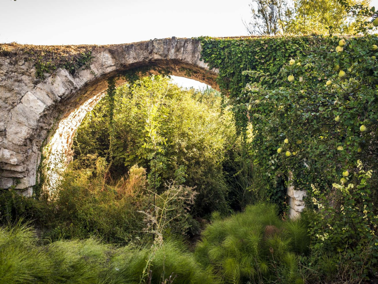
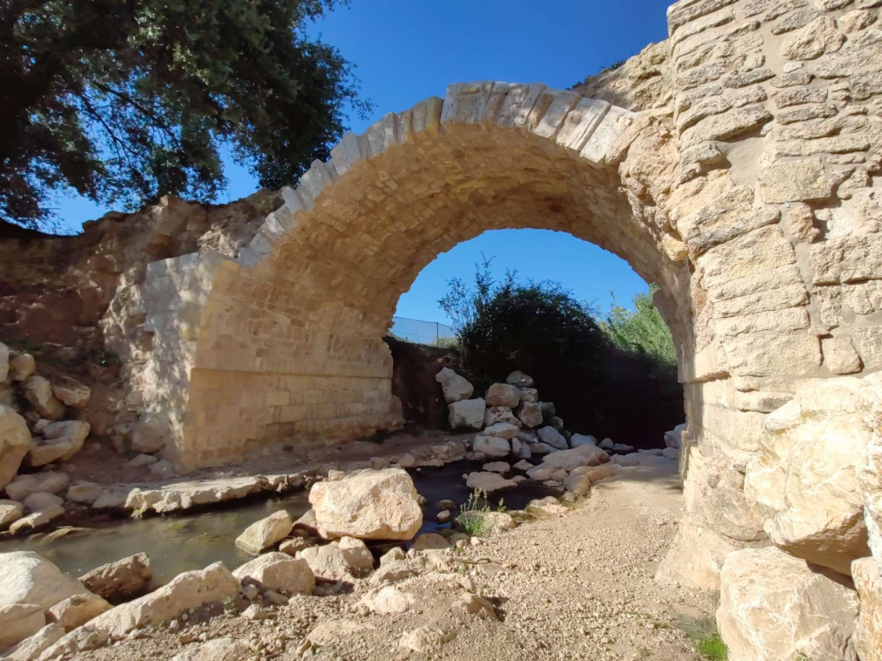
Our walk begins on Calle Arenal, next to the municipal cemetery, heading towards the Fuente Catalina. On this first stretch, we are treated to magnificent views of the castle and the village of Carcabuey, with the ridges of the imposing Sierra Horconera in the background. From here, you can also clearly make out some of the municipality’s most prominent mountain peaks, such as La Luca, La Algaida and the Sierra de Los Polos. We will leave this path to head towards the Califal Bridge along a track that turns into a footpath, where we will have the opportunity to visit the Fuente Calina before continuing. The Califal Bridge, recently restored and enhanced, is one of Carcabuey’s main heritage features which, until recently, was also of great importance for the municipality’s communication with the main nearby towns. Once we have crossed it and moved away from it, we will pass under the A-339 Cabra–Alcals la Real via an underpass and continue along the Camino de las Palomas, skirting an interesting patch of holm oaks. Upon reaching the vicinity of the River Palancar, the map indicates the connection with the Fuente de las Palomas. From here, the trail follows sections of the old road from Cabra to Priego or the Camino del Molino del Marqués. The Palancar is one of the most important watercourses in the municipality of Carcabuey, both for the riverside vegetation it shelters and the life it provides to numerous habitats of interest, and for the use made of its waters via irrigation channels to water the surrounding farmland. On this stretch, we can see evidence of both. The pleasant walk continues along lanes and paths where the presence and dominance of olive groves is evident, and we will cross the A-339 road, taking the utmost care. For the final part of the route, we will take the Carnero path, running parallel to the River Morisco and the orchards clustered around it. On this stretch, we will circle the Cero del Castillo hill, crowned by this medieval fortification, dating from before the 9th century, situated in a strategic and privileged location which preserves much of its wall and the Torre del Homenage. Furthermore, the Hermitage of the Virgin of the Castle stands in its parade ground. This hill also features remains and traces of human occupation from all historical periods, allowing us to trace back in time to at least the Late Bronze Age. This is evidenced by the discovery of a bronze sword (1200 BC), currently housed in the British Museum in London, and a Cruz del Negro-style ceramic urn (800 BC), which is in the Historical Museum of Priego de Córdoba. We will end our tour on Calle Sauceda, also signposted as Calle Corralón. We will reach this point after climbing the slope that takes us out of the valley formed by the River Morisco, right at the junction with the old San Sebastián oil and pomace distillery. This old building still retains the decorative tiled pediment bearing the company’s name, as well as the tall exposed-brick chimney. During the climb, we can enjoy the views of the Sierra de los Pollos, which will gradually come into view behind us
Weather forecast
Carcabuey
24°CReal feel 24°C
broken clouds
-
Mon
5/1026° /21°
38%
-
Tue
6/1022° /19°
60%
-
Wed
7/1021° /17°
58%