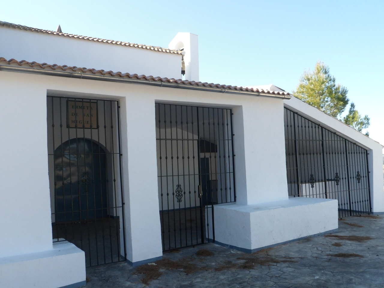
Hermitage of Saint Michael of Castellar

 Back
Back 

Route data


Weather forecast
Priego de Córdoba
 23°C
23°CReal feel 23°
broken clouds
-
Mon
5/10
25° /20°
 36%
36%
-
Tue
6/10
20° /17°
63%
-
Wed
7/1020° /15°
57%
A semi-circular route that starts near the Red Cross post, next to the A-4154 road, in the municipality of Priego de Córdoba, and follows country lanes and traditional footpaths that link up with places of natural and heritage interest in the surrounding area
A semi-circular route that starts near the Red Cross post, next to the A-4154 road, in the municipality of Priego de Córdoba, and follows rural tracks and traditional footpaths that link up with sites of natural and heritage interest in the surrounding area.
The route starts along a stretch of road before joining the Loja track, from where the route descends towards the River Salado and continues along rural tracks towards the Castellar area. Along the way, you pass through farmland, traditional farmhouses and small streams that make up the typical landscape of the Subbética countryside.
One of the highlights of the route is the climb to the Hermitage of San Miguel, situated on a high point offering sweeping panoramic views of the Albayate mountain range and its surroundings. After the ascent, the route continues downhill towards paths connecting with the town of Priego de Córdoba, passing farmhouses, streams and traditional footpaths.
In the final stretch, the route approaches the historic setting of the Balcón del Adarve, an ancient defensive wall overlooking the town centre. The trail ends by descending along footpaths that cross small vegetable gardens until reaching the town centre, beneath the Adarve monument complex.
It is a varied route combining rural sections, religious heritage, agricultural landscape and panoramic views, ideal for those seeking a complete experience in the surroundings of Priego de Córdoba.
Recommended activity:
- Hiking: A medium-level route, with some demanding uphill sections (especially the climb to the chapel) and a moderate length.
- Mountain biking: Suitable for most of the route, combining tarmac tracks and rural paths. It features long uphill sections and some junctions where extreme caution is required.
Natural area – Basic rules:
The route runs through a rural and natural environment of great value, so it is important to:
- Leave no litter.
- Take extreme care during periods of fire risk.
- Respect the wildlife, flora and agricultural environment.
- Always close any gates or rural access points encountered along the route.
Respect for the environment is essential to preserving this traditional landscape of the Subbética.
Best time of year
Recommended all year round, especially in autumn, winter and spring, when temperatures are milder and conditions are better for walking or cycling. In summer, it is advisable to avoid the middle of the day due to the exposure on some sections.
An ideal route for discovering the rural surroundings of Priego de Córdoba, combining heritage, nature and some of the best views of the historic centre from the Balcón del Adarve.
Weather forecast
Priego de Córdoba
23°CReal feel 23°C
broken clouds
-
Mon
5/1025° /20°
36%
-
Tue
6/1020° /17°
63%
-
Wed
7/1020° /15°
57%