Path PR-231 - Sierra Rute

 Back
Back 

Route data
Parking Carretera de las Lagunillas
Fuente Alta

Distance
8.2 Km

Duration
3h
30min
Circular route

Difficulty
Easy

Max. elevation
541 m.

Max. elevation
541 m.
Weather forecast
Rute
 24°C
24°CReal feel 24°
broken clouds
-
Mon
5/10
24° /19°
 37%
37%
-
Tue
6/10
20° /17°
67%
-
Wed
7/1020° /16°
62%
The Sierra de Rute walking route, signposted through pine forests, featuring an uphill climb, panoramic viewpoints and the historic Canuto, within the Subbéticas Natural Park.
A PR-marked hiking trail located in the area around Rute, within the Sierras Subbéticas Natural Park. It combines a steady climb, pine forest areas and panoramic viewpoints.
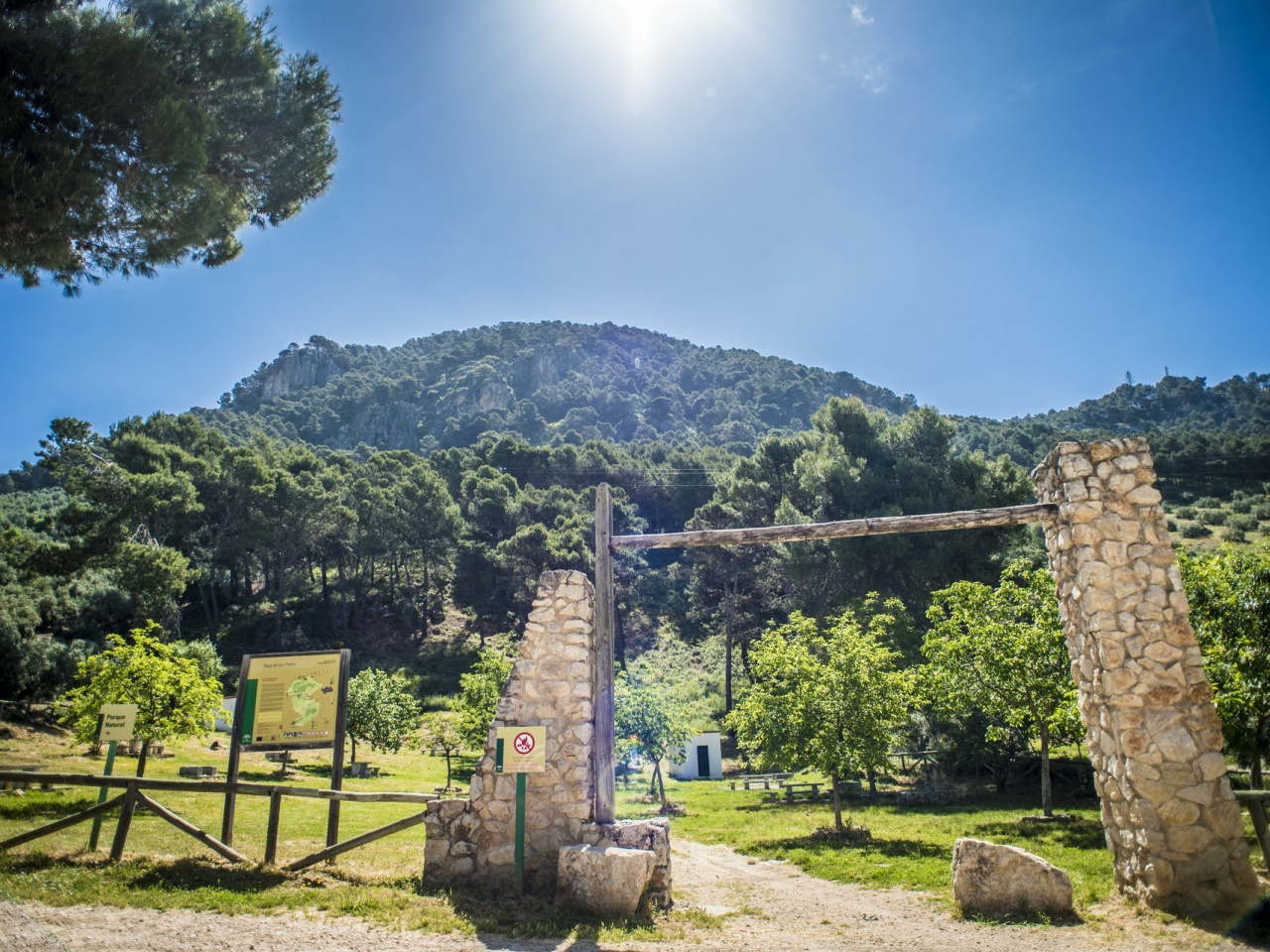
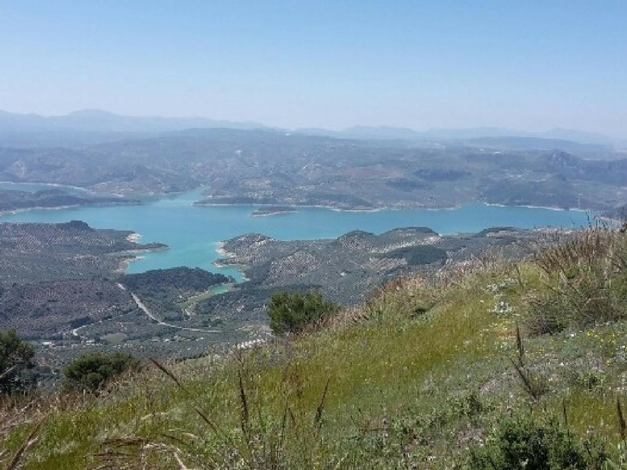
The route begins on the outskirts of Rute, initially following wide tracks that climb towards the Pinar de Rute pine forest. On this initial stretch, the path gradually gains height whilst the first views of the Iznájar Reservoir come into view.
After several kilometres along a forest track, the route leaves the main path to continue along a narrower track that enters a denser pine forest. This section offers a more natural and enclosed environment, with a greater sense of being in the mountains.
At an altitude of approximately 1,000 metres, the trail reaches a key junction offering two options:
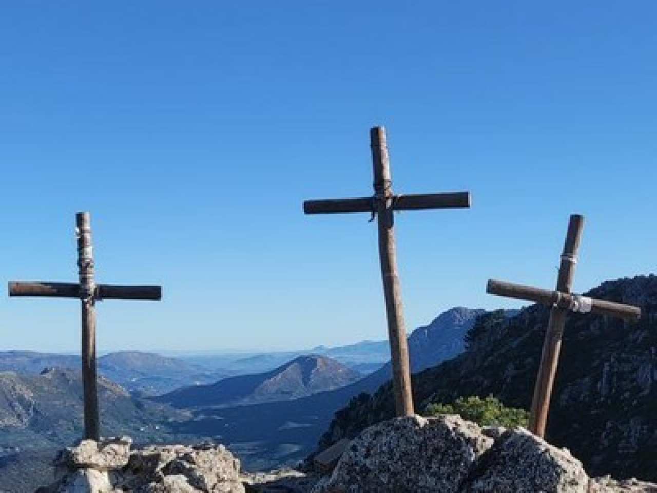
A further ascent to the Sierra de Rute Fire Watchtower, situated at around 1,256 m, from where there are sweeping views of the surrounding area: the Sierra de la Horconera, the Torcal de Antequera and other mountain ranges, as well as the countryside and the reservoir.
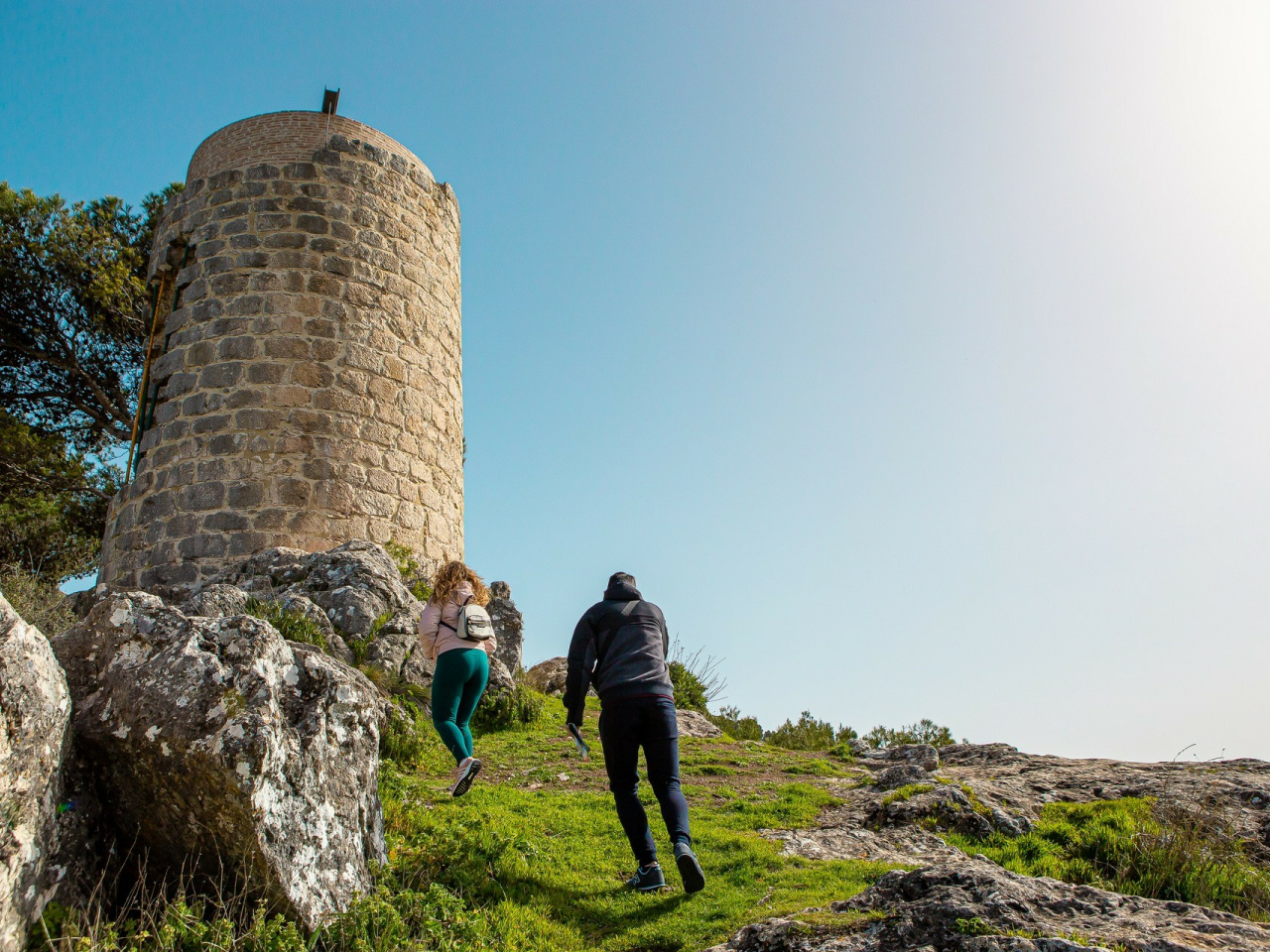
A direct descent towards Rute, passing through the area known as the Canuto de Rute, an ancient watchtower of historical origin.
In both cases, the final return journey passes once again through pine-covered areas, ending the route in the town centre.
Weather forecast
Rute
24°CReal feel 24°C
broken clouds
-
Mon
5/1024° /19°
37%
-
Tue
6/1020° /17°
67%
-
Wed
7/1020° /16°
62%