PR-A 498 - Camino de la Piedad

 Back
Back 

Route data
“Camino de Las Fuentes”
Santuario de Ntra. Sra. De la Piedad

Distance
7.5 Km

Duration
8h
31min
Lineal route

Difficulty
Easy

Max. elevation
726 m.

Max. elevation
405 m.
Weather forecast
Fuentes de Cesna
 26°C
26°CReal feel 26°
scattered clouds
-
Mon
5/10
27° /22°
 38%
38%
-
Tue
6/10
21° /19°
68%
-
Wed
7/1021° /17°
63%
It is the ancient pilgrimage route from the neighbouring villages in western Granada, reflecting the centuries-old devotion to the Virgin of Mercy, which has been documented since the 16th century
The route, which is almost 12 kilometres long, begins at the Sanctuary of the Virgin of Mercy and ends at the Villavieja Archaeological Site, located in Fuentes de Cesna (Algarinejo). The Villavieja archaeological site is a walled prehistoric settlement, culturally associated with the Copper Age in Andalusia. This ancient pilgrimage route links Iznájar with towns in western Granada such as Ventorros de San José, Loja, Zagra and Fuentes de Cesna.
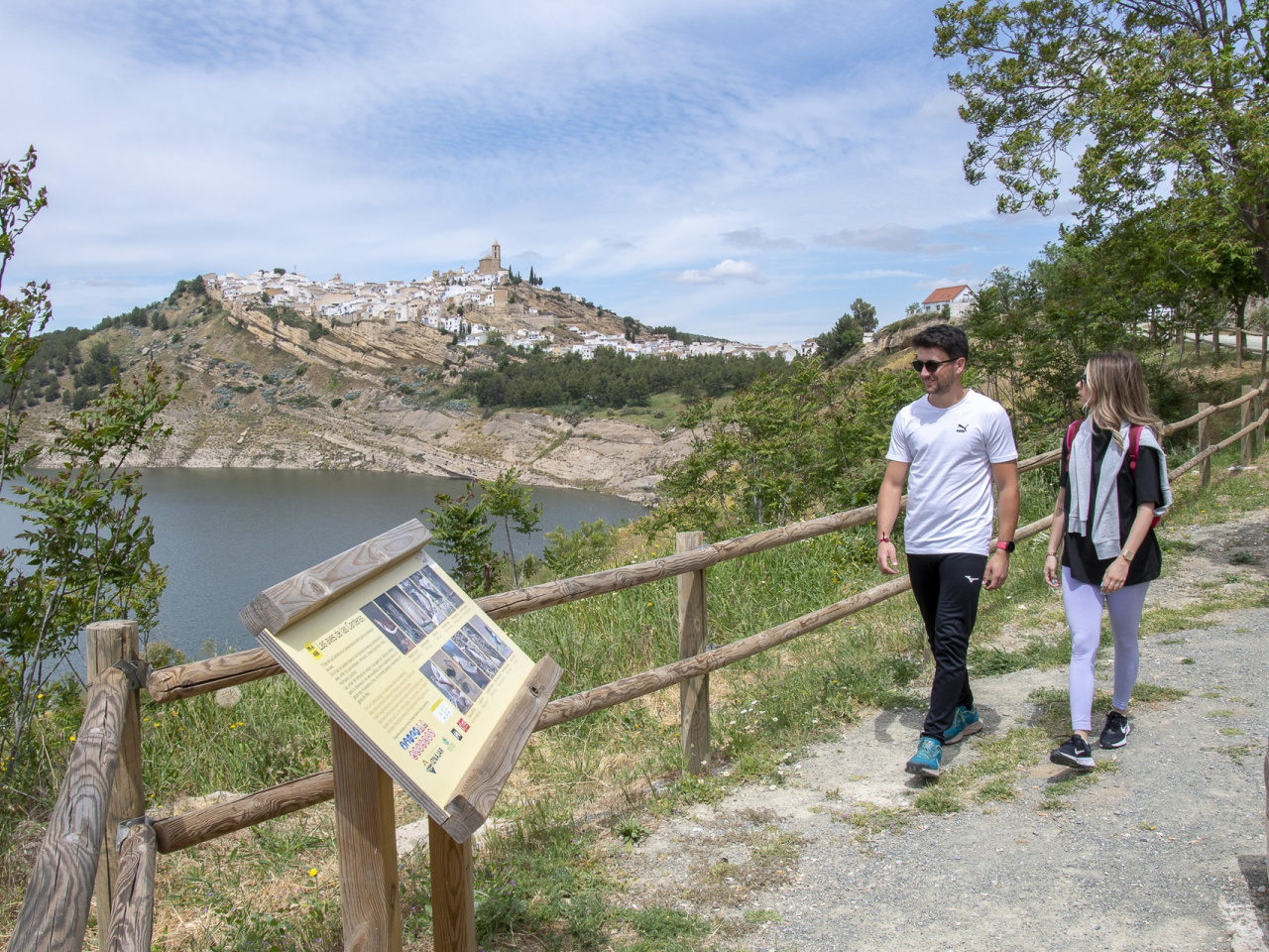
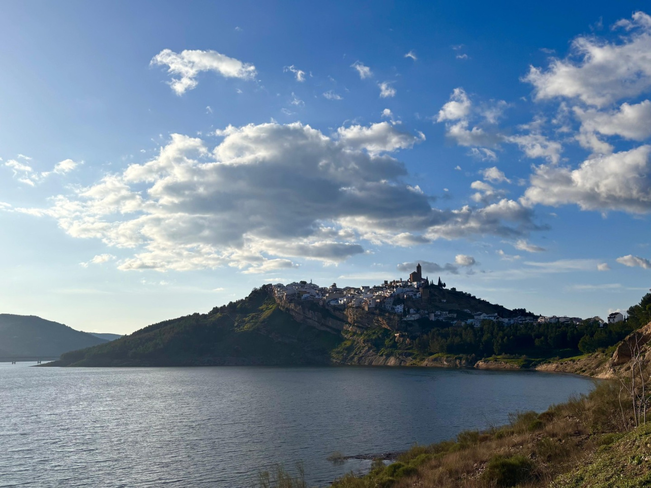
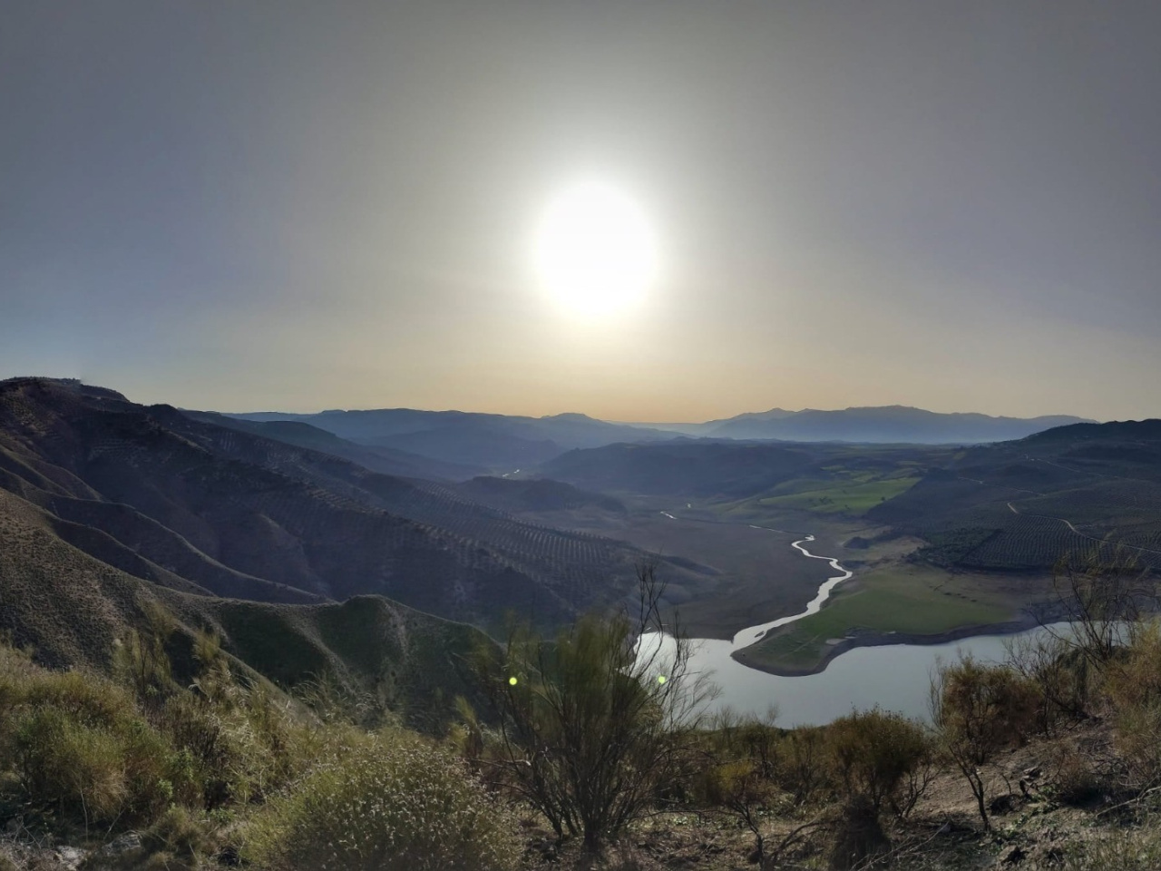
This route combines scenic, cultural and spiritual values. The route is notable for its centuries-old devotion to the Virgin of Mercy, documented since the 16th century. Furthermore, it offers outstanding scenery as it runs along the northern shore of the Iznájar Reservoir, amidst dense olive groves and scrubland. It also features heritage sites, reinforcing the historical ties between the twinned regions and offering a multi-faceted experience for walkers, families and lovers of cultural and religious tourism.
Weather forecast
Fuentes de Cesna
26°CReal feel 26°C
scattered clouds
-
Mon
5/1027° /22°
38%
-
Tue
6/1021° /19°
68%
-
Wed
7/1021° /17°
63%