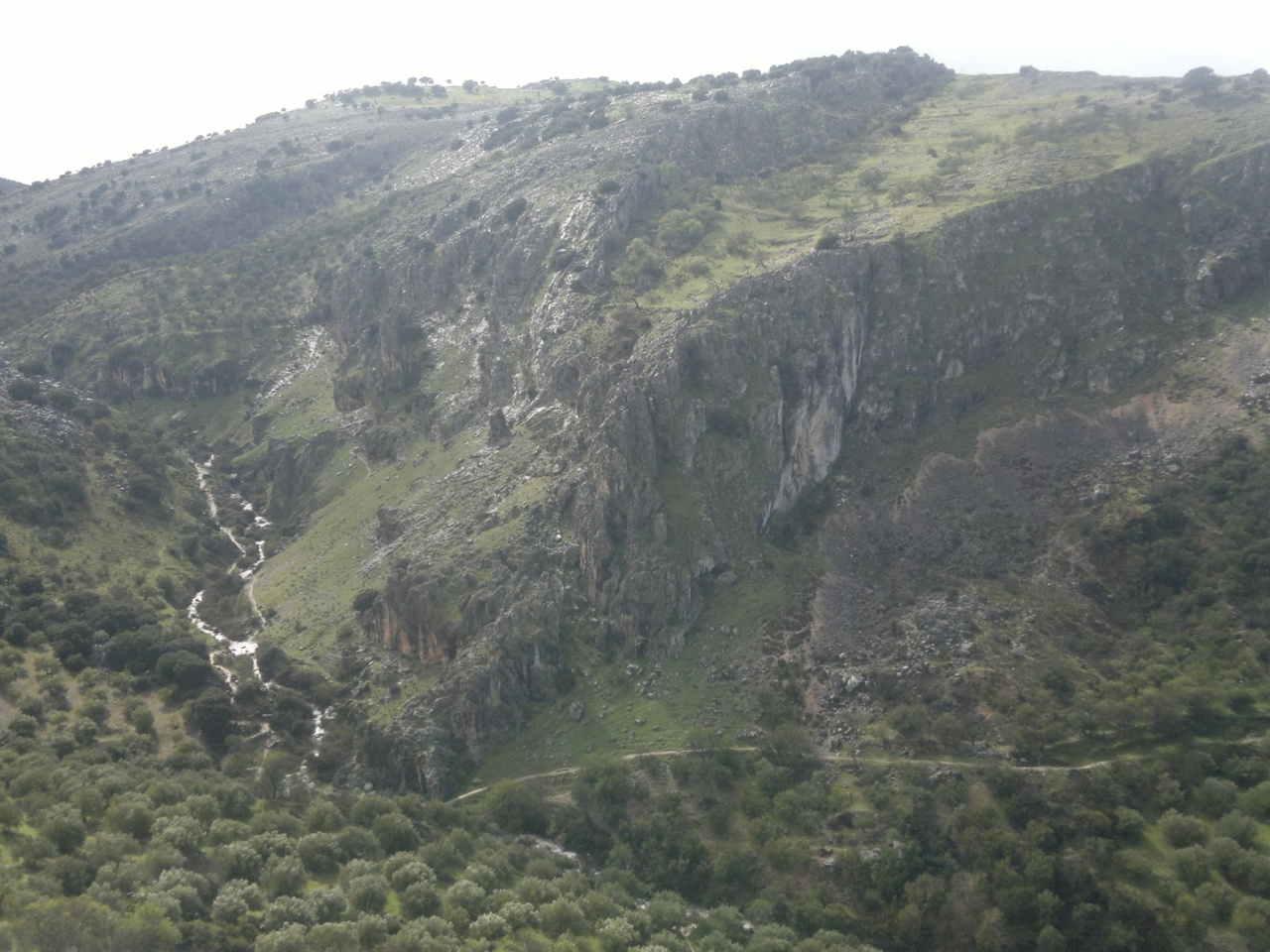
River Bailón

 Back
Back 

Route data
Carretera CP-115. Santuario Virgen de la Sierra Km- 5
Parking de del Mirador del río Bailón

Distance
12.2 Km

Duration
5h
Lineal route

Difficulty
Medium

Max. elevation
74 m.

Max. elevation
490 m.
Weather forecast
Zuheros
 20°C
20°CReal feel 20°
scattered clouds
-
Mon
5/10
23° /18°
 36%
36%
-
Tue
6/10
20° /17°
54%
-
Wed
7/1019° /15°
54%
It is one of the most popular hiking trails in the Sierras Subbéticas Natural Park & Geopark
Along this hiking trail, visitors can observe a wide variety of karst features such as sinkholes, ponors, paleodolines, springs, lapiaz, and so on. It is recommended that you walk this trail in spring, although it is also worth exploring in autumn.
Weather forecast
Zuheros
20°CReal feel 20°C
scattered clouds
-
Mon
5/1023° /18°
36%
-
Tue
6/1020° /17°
54%
-
Wed
7/1019° /15°
54%