The "Caicena Highlands" Trail

 Back
Back 

Route data
Paraje Fuente Ribera
Ermita Mirador Cerro de la Cruz

Distance
1.3 Km

Duration
30min
Lineal route

Difficulty
Easy

Max. elevation
215 m.

Max. elevation
16 m.
Weather forecast
Almedinilla
 22°C
22°CReal feel 22°
broken clouds
-
Mon
5/10
25° /20°
 30%
30%
-
Tue
6/1021° /18°
62%
-
Wed
7/1021° /15°
54%
Hiking route with a stop at El Pingorote and finishing at the Cerro de la Cruz viewpoint.
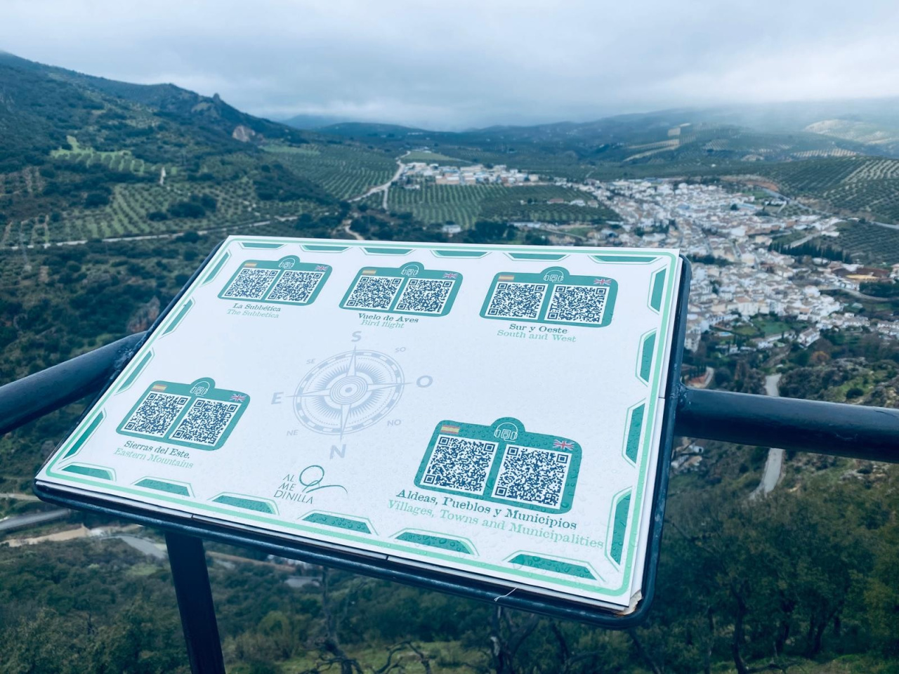
The Tierras Altas del Caicena trail takes you on a journey through some of the highest and most scenic spots in Almedinilla. The route climbs up to the Cerro de la Cruz viewpoint, passing by the Pingorote viewpoint, and offers a superb view of the town, its natural surroundings and the landscape that runs alongside the Caicena valley.
Weather forecast
Almedinilla
22°CReal feel 22°C
broken clouds
-
Mon
5/1025° /20°
30%
-
Tue
6/1021° /18°
62%
-
Wed
7/1021° /15°
54%