The Genil River Waterwheels Trail

 Back
Back 

Route data
Camping Los Caños de Benamejí
Camping Los Caños de Benamejí

Distance
8.7 Km

Duration
1h
14min
Circular route

Difficulty
Easy

Max. elevation
216 m.

Max. elevation
216 m.
Weather forecast
Benamejí
 27°C
27°CReal feel 28°
broken clouds
-
Mon
5/10
28° /22°
 41%
41%
-
Tue
6/1024° /19°
55%
-
Wed
7/1023° /18°
55%
A circular walk through pine forests, orchards and riverside woodland to discover the historic Arab waterwheels of the Genil.
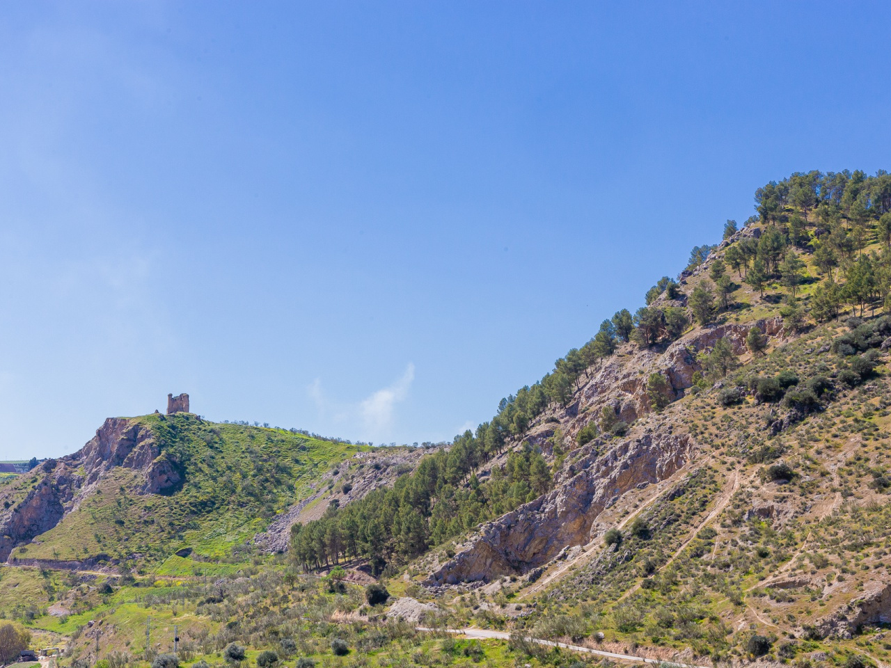
This circular route winds its way through reforested pine forests, olive groves, vegetable gardens, orchards and the riverside woodland along the River Genil. Its main attraction is the collection of historic waterwheels at Huerta de los Cruces, Isla de San Miguel and Campo del Castillo.
As well as the scenic interest, the trail offers views of Cerro del Hacho, Gómez Arias Castle, the Hernán Ruiz II Bridge and the monumental viaducts of the A-45.
Weather forecast
Benamejí
27°CReal feel 28°C
broken clouds
-
Mon
5/1028° /22°
41%
-
Tue
6/1024° /19°
55%
-
Wed
7/1023° /18°
55%