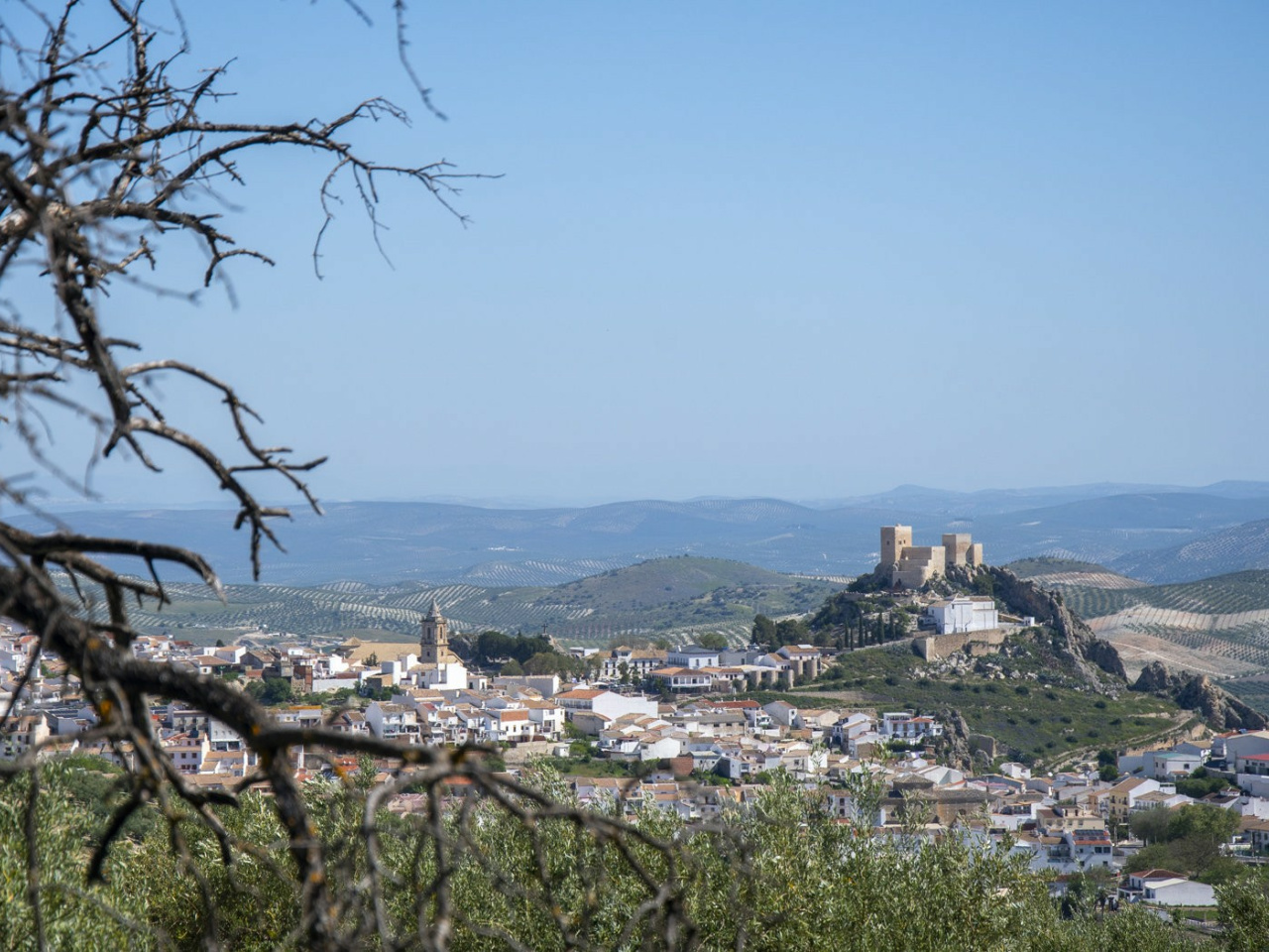
THE PATH OF EVIL WINDS

 Back
Back 

Route data
Luque, Zona deportiva. Calle Las Delicias
Luque: Fuente de la Reina

Distance
11.2 Km

Duration
3h
30min
Circular route

Difficulty
Medium

Max. elevation
616 m.

Max. elevation
616 m.
Weather forecast
Zuheros
 24°C
24°CReal feel 24°
broken clouds
-
Mon
5/10
26° /22°
 37%
37%
-
Tue
6/1024° /20°
52%
-
Wed
7/1022° /18°
54%
A wonderful circular route offering extraordinary scenery within the Sierras Subbéticas Geopark.
Route description
Set off from Luque along the Camino de los Cangilones towards the Malos Vientos pass; from there, climb up to the Cueva de los Murciélagos along a poorly defined path. Continue along the road from the cave to the Llano del Moro, then descend via the Majada de Piedra towards El Bailón. Follow the well-marked path on your right all the way to Zuheros. From Zuheros, we begin the climb up to Malos Vientos again, this time on the other side. Upon reaching the pass, we head towards the Dehesa de los Tallones, passing the ruined farmhouse of Vistaalegre. From here, we descend towards the Luque-Zuheros pass via El Alamillo, heading towards Luque.
Weather forecast
Zuheros
24°CReal feel 24°C
broken clouds
-
Mon
5/1026° /22°
37%
-
Tue
6/1024° /20°
52%
-
Wed
7/1022° /18°
54%