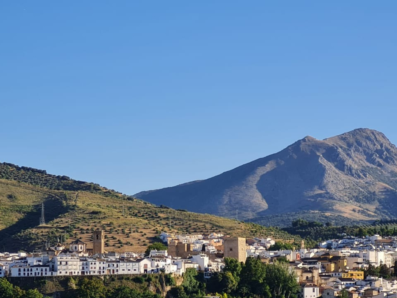
Tiñosa Peak

 Back
Back 

Route data
Calle Toledo. Aldea de Las Lagunillas
Calle Toledo. Aldea de Las Lagunillas

Distance
5.5 Km

Duration
5h
Lineal route

Difficulty
Expert

Max. elevation
727 m.

Max. elevation
727 m.
Weather forecast
Carcabuey
 20°C
20°CReal feel 20°
broken clouds
-
Mon
5/10
22° /17°
 36%
36%
-
Tue
6/10
18° /15°
68%
-
Wed
7/1017° /13°
62%
This trail starts in the village of Las Lagunillas and leads to Pico de la Tiñosa, the highest point in the province of Córdoba at 1,570 metres
Route description
We start the route on Calle Toledo, which leads us to a dirt track lined with olive trees, known as the “Camino de Cañatienda1”. Leaving the olive grove behind, we pass through a gate marking the entrance to the mountains (please ensure you close it behind you).
Here we come to a stream, which only carries water during the rainy season.
We follow its course along a path, nestled between mountains and lined with holm oaks and cork oaks. At the end of this path, we reach an area where the valley opens out. At this point, if we turn north-west and climb a hill to our left, we will reach the centuries-old holm oak known as El Tejón. In the distance, we can see Puerto Mahina, situated between the Sierra de Alhucema (left) and the Sierra de la Horconera (right).
The route follows a path where we may encounter cows. This will take us to the vicinity of a ruined farmhouse, the Cortijo de Cañatienda, which was once home to farming and livestock-rearing families.
We continue until we reach Puerto Mahina after passing through a wire mesh gate, which we will leave closed.
From this small clearing, we can see Priego in the distance and the Cerro de la Cruz, so named for the large iron cross that crowns it.
After this stop, we turn 90° to the right to begin the climb up to El Morrión.
As we approach the base of La Tiñosa, we will see a small path winding its way through the rugged terrain. During the ascent, we can see on the right a striking formation at the foot of the cliffs: the periglacial cake.
We must ascend with caution and follow the markers and stone cairns so as not to stray from the existing path along approximately one kilometre of steep, stony and wooded terrain.
As the path begins to level out, we come to the Cueva del Morrión, a shepherd’s shelter offering an unrivalled panoramic view from which to observe the southern part of the Geopark. After passing the cave, we can already see our destination: the summit of La Tiñosa.
Following a much clearer path, which climbs directly up the mountain ridge, we will reach the triangulation point, situated at 1,570 metres above sea level.
Enjoy these incredible panoramic views and sign the book in the metal box as a symbol of the challenge we have just overcome.
Weather forecast
Carcabuey
20°CReal feel 20°C
broken clouds
-
Mon
5/1022° /17°
36%
-
Tue
6/1018° /15°
68%
-
Wed
7/1017° /13°
62%