LUCA TRAIL

 Back
Back 

Route data
C. San Marcos
C.Cuesta Centella (Cuartel de la Guardía Civíl)

Distance
7.8 Km

Duration
2h
45min
Circular route

Difficulty
Medium

Max. elevation
424 m.

Max. elevation
419 m.
Weather forecast
Carcabuey
 23°C
23°CReal feel 23°
broken clouds
-
Mon
5/10
25° /21°
 38%
38%
-
Tue
6/10
22° /19°
60%
-
Wed
7/1021° /17°
58%
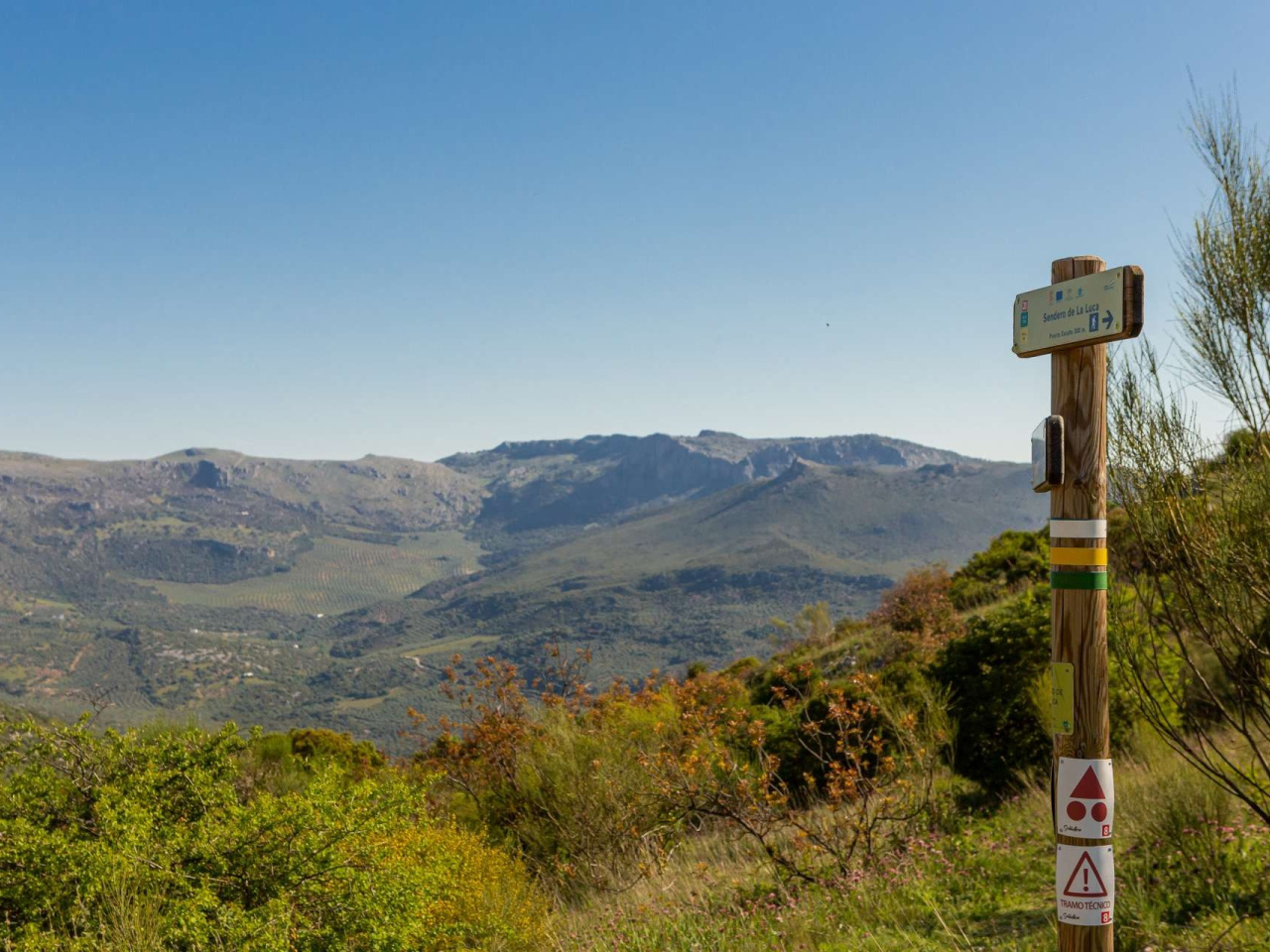
This trail offers a wealth of attractions, with the highlight being the section through Puerto Escaño, which offers stunning views of the Sierras Subbéticas
We will begin our walk on Calle San Marcos, heading towards one of Carcabuey’s most iconic landmarks, La Luca. The proximity of this mountain to the town has meant that, for centuries, it has played a central role in the lives of its inhabitants, serving as a playground for the children and featuring in all manner of traditions and sayings in the local vernacular. The route circles this mountain completely, passing through Puerto Escaño, the point where La Luca and La Algaida meet. Until we reach this point, the ascent follows a dirt track offering magnificent views of the entire Sierra Horconera massif, the Sierra de los Pollos and the Sierra de Gallinera. In turn, within the Sierra Horconera, landmarks such as the Sierra de Rute, El Pico Bermejo (1,474 m) and the Jardin del Moro can be easily identified. Shortly before reaching Puerto Escaño, at a bend in the path, an old U-shaped stone washhouse, which makes use of the spring water from these mountains, offers us a chance to rest and cool off before tackling the final stretch of the ascent. Right here, at a small widening of the path, we will also find a panoramic information panel explaining the views that can be seen from this spot. On reaching Puerto Escaño, we’ll look out over the northern slope of La Luca, allowing us to catch a glimpse of Pico Lobatejo (1,380 m) and beginning a descent that will take us, along paths and tracks, to the wide dirt track that passes through Castillejo. Throughout this section, we’ll discover the wide variety of flora that adorns the slopes of La Luca and Algaida. Among many others, we can see: terebinth trees (Pistacia terebinthus), mastic trees (Pistacia lentiscus), peonies (Paeonia broterol), madreseiva (Tonicera implexa), wild garlic (Allium sos), wild vine (Vitis sibestri), broom (Spartium juncetum) or white cistus (Cistus ibis). On this stretch, we can also observe bird species such as the blue-tailed magpie (Cyanopica cooki), belonging to the corvid family but with a much more striking appearance, featuring its eye-catching long bluish tail. El Castillejo combines the natural value of a spring that feeds the irrigation channel used to water the vegetable gardens of Carcabuey, with the cultural, historical and heritage value of being a cattle resting place situated on an old livestock trail that makes use of this water and the shade of its shady poplars. From here, we head back to Carcabuey along the Vereda del Carmen, running parallel to the irrigation channel and, in some sections, sandwiched between it, an old dry-stone wall and the shade of the holm oaks that enclose the path like a gallery. Once the irrigation channel runs underground, the Vereda del Carmen path takes us to an olive grove track to cover the final few kilometres to the town centre of Carcabuey
Weather forecast
Carcabuey
23°CReal feel 23°C
broken clouds
-
Mon
5/1025° /21°
38%
-
Tue
6/1022° /19°
60%
-
Wed
7/1021° /17°
58%