
Gamonosa Path
A scenic route lined with majestic holm oaks, ideal for hiking, linking historic farmhouses and natural landscapes, offering stunning views and tranquillity.
The Gamonosa Track is, together with the Camino de los Metedores Track, one of the longest livestock tracks within the municipal area of Cabra. It is 17 kilometres long and forms a wide arc around the entire northern part of the Cabra region.
This route makes use of a short section of the track, specifically in the area known as the Sauzadilla track due to its proximity to this spot and the spring of the same name. However, its starting point is at the Encinilla well, at the junction with the Camino de Baena track, and it ends near the hamlet of Las Huertas Bajas.
The route in question starts in the vicinity of Cortijo El Corneta, one of the main farmsteads in Cabra, which has even been included in the inventory of farmsteads and wine presses compiled by the Regional Government of Andalusia.
From here, we will ascend towards Las Lagunillas along a public path almost forgotten by the general public, where the enormous holm oaks found around the Cortijillos stand out remarkably. Las Lagunillas consists of a scattering of houses strategically located in what was once a cattle resting place. This is where we will join the Gamonosa footpath.
From this point, we will continue towards the Sauzadilla area and pass by the spring of the same name, heading towards the Marchenilla stream. In the vicinity, the path’s route becomes unclear, with no clear path to follow, so we will need to find our way by following the stream downstream along its left bank.
The Gamonosa footpath intersects with the Castro del Río track, which we will take, leaving the footpath and heading towards the Montoro track, or the road from Cabra to Castro del Río (A-3129), which will take us back to the starting point.
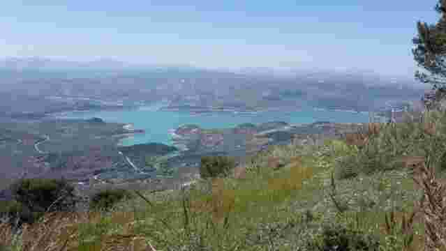
Pinar de Rute Trail
The Rute Pine Forest Trail offers a 2.5-hour walk through pine trees, past viewing points, with views of the Iznájar reservoir and the historic Canuto tower.
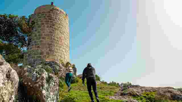
Path PR-231 - Sierra Rute
The Sierra de Rute walking route, signposted through pine forests, featuring an uphill climb, panoramic viewpoints and the historic Canuto, within the Subbét...

The Pamplinar Trail
A circular route winding through olive groves and along country lanes, with gentle slopes and panoramic views of the Iznájar reservoir.
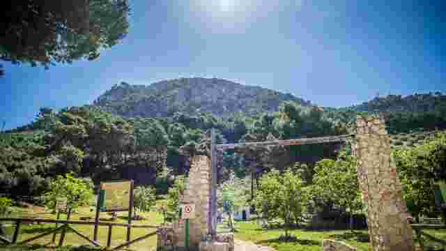
The Old Rute Trail
A route through the foothills and olive groves, featuring historical remains and panoramic views of the surrounding area
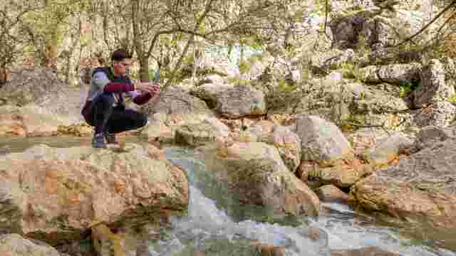
Trail – Río de la Hoz Gorge
Known as Salsipuedes, it is a spot of unique beauty with small waterfalls along the river

The Road to Villanueva
A rural setting featuring historic farmhouses, a fountain and a stream. Ideal for exploring the agricultural and cultural heritage and enjoying scenic routes.

The Louse Trail
A picturesque path winding through olive groves, bordered by dry stone walls, ideal for exploring historic trails and enjoying the countryside.

Fuente de las Piedras - Fuente del Arraijanal
Scenic routes along ancient paths, ideal for hiking, featuring recreational areas and historic bridges, offer a journey through unique olive-growing landscapes.

The path from Término to the Hermitage of Hope
A historic route winding through olive groves and traditional farmhouses, offering views of the Subbética mountains and a rich cultural heritage in a picture...

Granaino Path
A spot with a year-round spring, views of the Sierra de Cabra, a historic farmhouse and walking trails through olive groves – ideal for enjoying the natural ...

Gardopaz Path
A route featuring natural vegetation, olive trees and the Puente de la Sima bridge, ideal for hiking and enjoying unique landscapes and historic paths.

Gamonosa Path
A scenic route lined with majestic holm oaks, ideal for hiking, linking historic farmhouses and natural landscapes, offering stunning views and tranquillity.

Road to the Port
A rural landscape featuring olive groves and Mediterranean woodland, ideal for experiencing oral traditions and sustainable development, whilst preserving an...

The Paths of Camarena
A scenic route offering panoramic views, olive groves, Mediterranean vegetation and traditional features, ideal for hiking and exploring the natural surround...

The route from Valera to Fuente del Arraijanal
River routes featuring lush riverside vegetation and the historic fountain with its pillars and panels, ideal for exploring the local nature and culture.

Gañana Path
A route featuring historic cattle tracks, lush Mediterranean flora, and stops at geological and cultural landmarks, ideal for getting back to nature.

The Path to Cerro Lóbrego
This place offers unique landscapes featuring Jurassic fossils, fascinating flora and hidden waterfalls, making it the perfect spot to explore its natural be...

Calderones Path
A picturesque route featuring historic wells, old mills and olive groves, ideal for exploring farmhouses and enjoying the Mediterranean and riverside vegetat...

Old Chapel Path
A picturesque, traditional path takes visitors through lush vegetation and olive groves, making it ideal for walks or bike rides.

Camino del Término, Cabra – Lucena
A picturesque route featuring historic farmhouses, panoramic views of the Sierras Subbéticas, and sunsets over fields of olive trees and ancient holm oaks. I...

The Llano Madero Trail
A rural route offering varied scenery, from olive groves to lagoons, ideal for leisurely walks and discovering the local history.

San Cristóbal Lagoon and El Pedroso
An ideal wetland for birdwatching and observing reptiles and amphibians, with scenic trails and views of olive groves and orchards – perfect for nature lovers.

Goat to Juan de Escama
A natural landscape featuring Mediterranean woodlands, ancient olive groves and stunning views of the mountains. Ideal for hiking and enjoying the great outd...

Cabra to Fuente de la B
Routes with lush vegetation, winding paths and panoramic views from a vantage point. Ideal for hiking and enjoying nature.

Gaena to the Llanos de Don Juan
This scenic route features breathtaking landscapes with views of the Sierras Subbéticas, ammonite fossils, holm oak woodlands and traditional architecture.
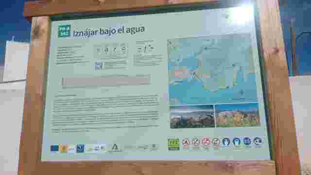
PR-A 342 - Iznájar Under Water
A FAM-approved trail where you can explore floodplains, centuries-old olive groves and Aleppo pine forests, whilst enjoying unforgettable views of the reserv...
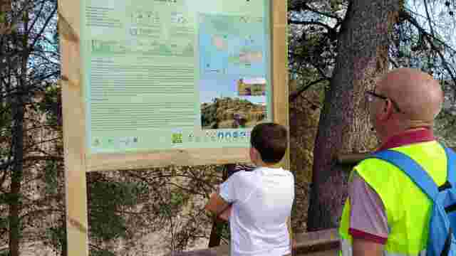
SL-A 423 – The Pine Forest Route.
This trail is a route that combines stunning scenery with the natural landscapes closest to the town centre, all of which are linked by the presence of the r...
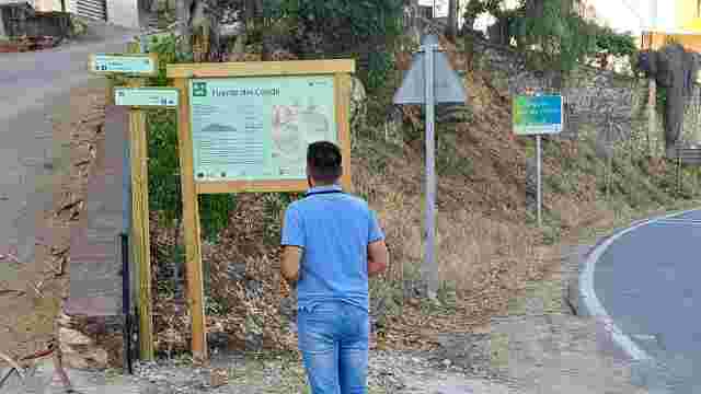
SL-A 341 - Fuente del Conde Trail
The “Fuente del Conde trail”, also known as the “Camino de Magán”, is a circular route of around 5.5 kilometres that takes in an area of outstanding natural ...
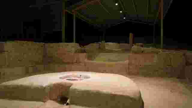
Almedinilla Archaeological Site
A tour of Almedinilla’s Iberian and Roman heritage: the Roman villa of El Ruedo, Cerro de la Cruz and the Historical and Archaeological Museum.
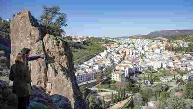
Almedinilla from above. The Viewpoint Trail
Almedinilla from above: a route taking in its viewpoints to enjoy the scenery, panoramic views of the village and unique vistas of the Subbética.
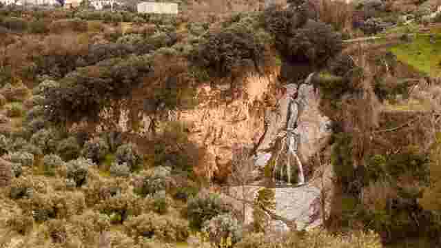
The "Salto del Caballo" Trail
A nature walk through Almedinilla, taking in the paths, the vegetation and the Salto del Caballo waterfall.

The "Caicena Highlands" Trail
Hiking route with a stop at El Pingorote and finishing at the Cerro de la Cruz viewpoint.
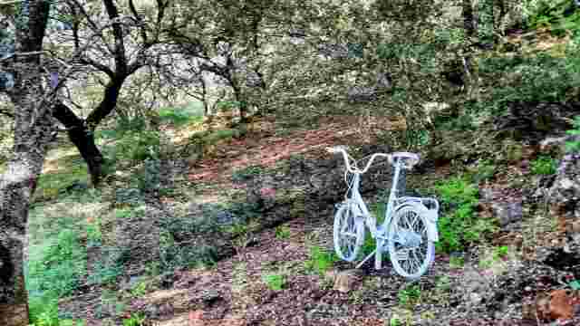
"Arroyo Granada" Trail
On the way to Venta Valero along the Arroyo Granada footpath, stopping at its chapel to take in the views of the countryside around Almedinilla.
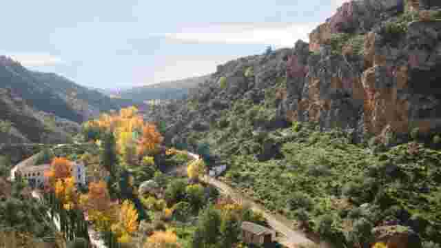
"Almedinilla at Your Feet" Trail
Explore scenic trails with panoramic views, historical sites like Cerro de la Cruz, and enjoy a mix of nature and heritage on this diverse route.
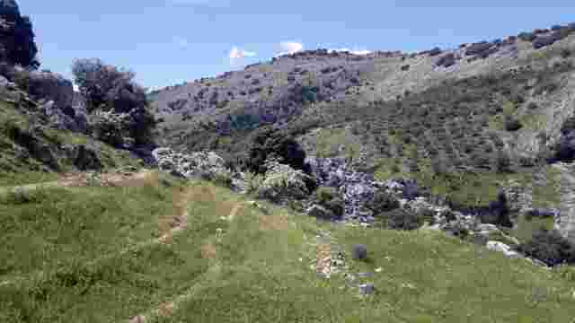
The Water Trail
This circular route runs mainly through the Bailón River canyon
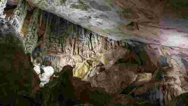
Zuheros – Bat Cave
The panoramic views of both central Andalusia and the Sierras Subbéticas Natural Park make this route one of the most highly recommended.
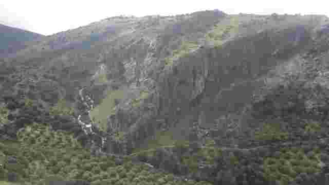
River Bailón
It is one of the most popular hiking trails in the Sierras Subbéticas Natural Park & Geopark
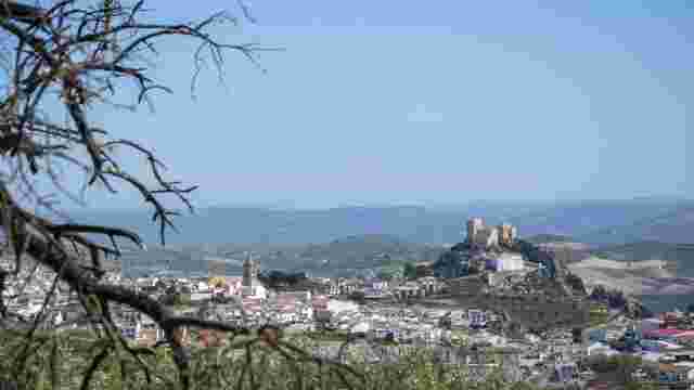
THE PATH OF EVIL WINDS
A wonderful circular route offering extraordinary scenery within the Sierras Subbéticas Geopark.
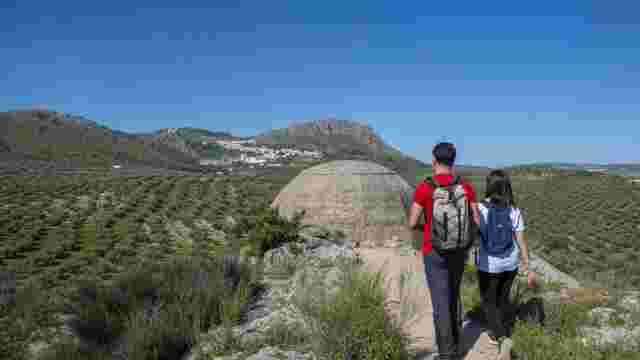
THE ALAMILLO BUNKERS TRAIL
A very short walk along the Vía Verde del Aceite to the Civil War bunkers at Alamillo.
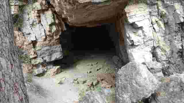
PR-A 160 Caños de Benamejí
A short circular walk through pine forests and rocky terrain, with views of the Renaissance bridge, ideal for exploring the Peña Parda cave.
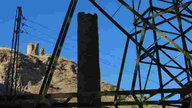
Aguas del Genil Trail
A circular walk along the River Genil, linking the riverbank, a historic watermill, a pine forest and viewing points in one of Benamejí’s most varied routes.
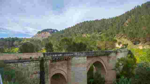
The Charms of the Genil Riverbank Route
A circular route on foot or by bike that combines nature, a Renaissance bridge, a castle, waterwheels and the La Grieta viewpoint.
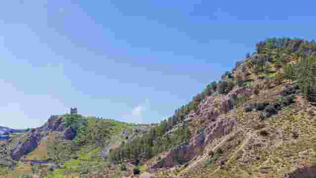
The Genil River Waterwheels Trail
A circular walk through pine forests, orchards and riverside woodland to discover the historic Arab waterwheels of the Genil.

The Benamejí Way of the Cross
A cultural walking route taking in historic crossroads steeped in legend. Along the way, you’ll discover charming spots and places.
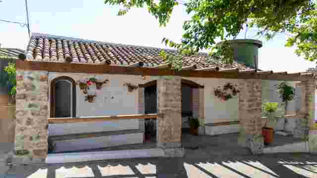
The Zagrilla Spring to Las Majadas de El Esparragal Trail
This trail starts at the Fuente de Zagrilla, where water gushes abundantly from between the rocks, pooling in a large basin before flowing on to the most bea...
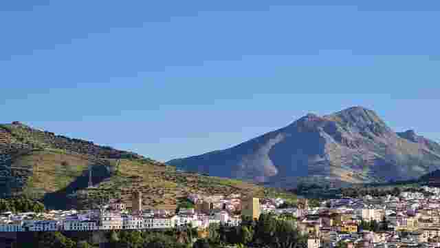
Tiñosa Peak
This trail starts in the village of Las Lagunillas and leads to Pico de la Tiñosa, the highest point in the province of Córdoba at 1,570 metres
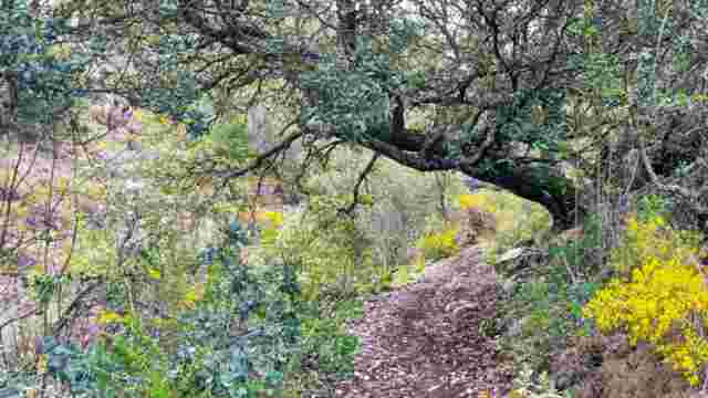
Bakers' Cross Trail
This trail winds through the mountainous landscape of the Sierra de Albayate, an area of great natural interest, but its archaeological and ethnographic sign...
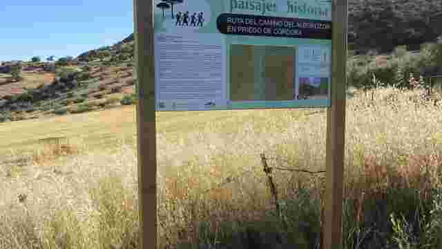
Alborazor Road
The site, situated on one of the banks of the “Las Angosturas” area, occupies a privileged location in terms of both its strategic position and its scenic be...

Sierra Abrevia Trail
A mid-mountain hike through the Sierra Abrevia, taking in Mediterranean woodlands and natural vantage points offering panoramic views of the sea of olive trees.
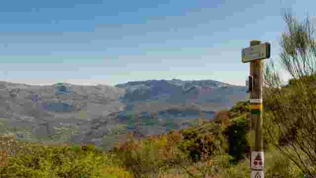
LUCA TRAIL
This trail offers a wealth of attractions, with the highlight being the section through Puerto Escaño, which offers stunning views of the Sierras Subbéticas
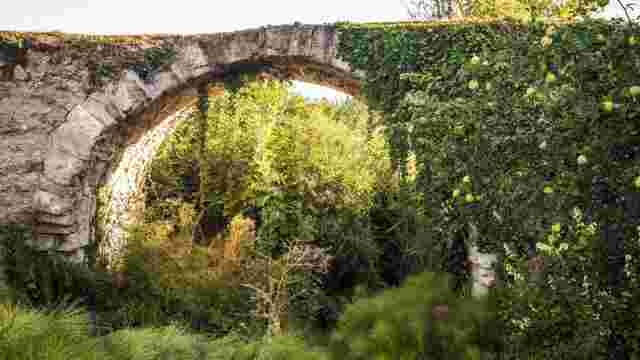
CALIPHATE BRIDGE
A trail that combines outstanding scenery and heritage, offering views of the castle and the mountains, passing by the River Palancar and the area around Cer...
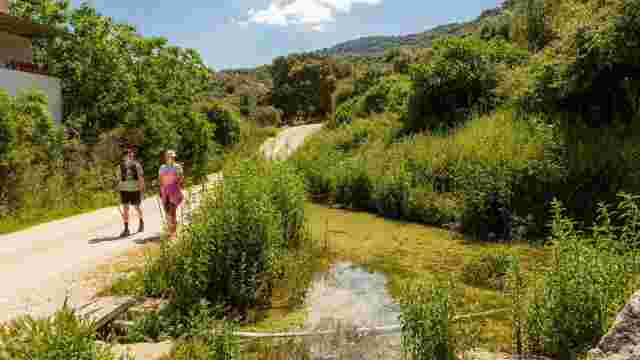
HARD SPRING
A trail that combines agricultural and mountainous landscapes, offering sweeping views over Carcabuey, passing through olive groves, Mediterranean vegetation...
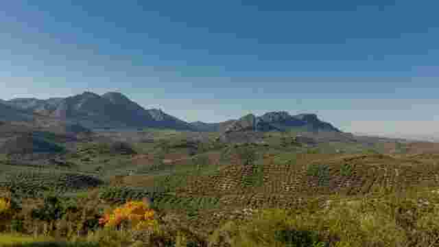
CAÑADA STOVES
A trail offering a wealth of scenic beauty, with highlights including the pass at Puerto Escaño, the stream and the sweeping views of the Sierras Subbéticas.
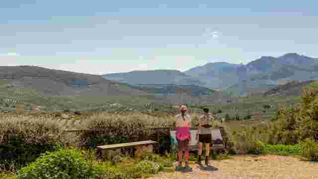
ALGAR VIEWPOINT
A trail that winds through areas of great natural and scenic beauty, notably the surroundings of Peñarrubia, the Algar stream and the views from the Mirador ...
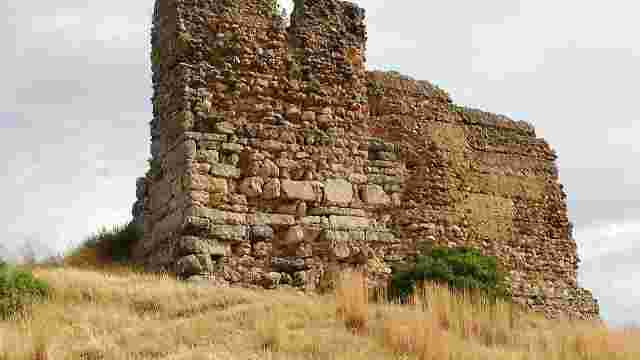
ALGAR CASTLE
A trail that combines cultural heritage and natural beauty, featuring the Fuente de Salazar, the Camino de las Cabezás and views of the Sierra Gallinera.
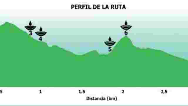
GREEN ROUTES OF SPRINGS AND WELLS
The Fountains and Springs Trail. You’ll enjoy three fantastic routes, each marked by a different colour, covering a distance of around 6 km and taking an est...
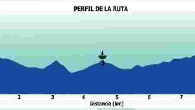
BLUE ROUTES OF THE SPRINGS AND WELLS
Historic fountains and rural springs offer a picturesque tour featuring ancient inscriptions, restored mills and traditional uses of water.
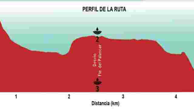
RED ROUTE OF THE SPRINGS AND WELLS
A route featuring picturesque fountains, views of the castle, recreational areas and a park with a children’s play area, ideal for relaxing and enjoying nature.

Hermitage of Saint Michael of Castellar
A semi-circular route that starts near the Red Cross post, next to the A-4154 road, in the municipality of Priego de Córdoba, and follows country lanes and t...
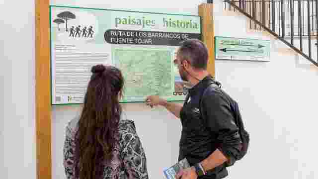
FUENTE-TÓJAR GORGE TRAIL
A walking and cycling route that winds its way through the municipality of Fuente-Tojar, passing several points of interest in terms of both tourism and scen...