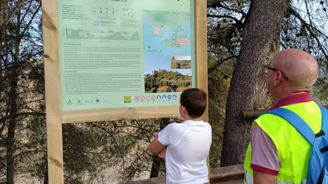
SL-A 423 – The Pine Forest Route.
This trail is a route that combines stunning scenery with the natural landscapes closest to the town centre, all of which are linked by the presence of the r...
The trail starts at the Mirador de las Tres Cruces viewpoint and crosses the existing recreational area, skirting the lower slopes of the hill before taking the footpath that does not lead to the upper part of the village. From there, after a bit of a wander, we’ll head down the path known as the Camino del Caganchuelo until we reach the A-333 road. At this point, the paved section will take us back to the town centre.
We’ll take the path towards the Puente del Molinillo bridge, situated within the reservoir’s floodplain, and from here we’ll climb up to Avenida José Montilla, which we’ll take to the left, before, after a few metres, turning off onto a path that runs through the reservoir’s floodplain until we reach Valdearenas beach. Walking the length of this beach, skirting the pine forest that forms the reservoir’s boundary, we will reach the Reservoir Interpretation Centre.
From here, we will head towards the Fernández Bridge, following José Montilla Avenue along a long stretch of the Colada de Valdearenas livestock track, which is tarmac-surfaced and, for the most part, has a pavement. Once we have crossed the bridge via the designated pedestrian crossing, we will follow several sections of a footbridge that runs parallel to the A-333 road, from where we can enjoy spectacular views of the reservoir.
Just before reaching the Agromán Bridge, the path turns left, crossing the A-333 road, and climbs along the pavement back to the starting point, the Mirador de las Tres Cruces viewpoint.
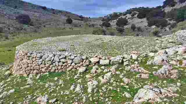
Great Subbeticana Route
A multi-stage walking and cycling route around the Sierras Subbéticas Natural Park Geopark.
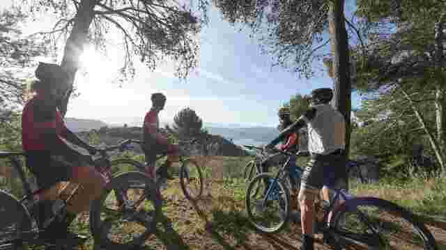
Northern MTB Route
A long-distance circular route that starts in Lucena and passes through various municipalities in the northern part of the Subbética region of Córdoba.
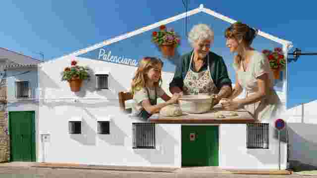
THE SUBBÉTICA MURAL ROUTE
Eight murals painted by the Seville-based artist Kato and a further six ceramic works created by the ceramicist Merche López will form part of the art exhibi...
THE OLIVE OIL GREENWAY
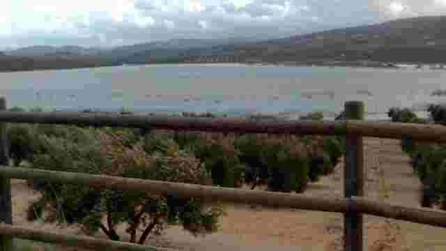
It is a 67-kilometre route (within the province of Córdoba) that crosses the southern part of the province, winding its way through a sea of olive trees and ...
"Arroyo Granada" Trail
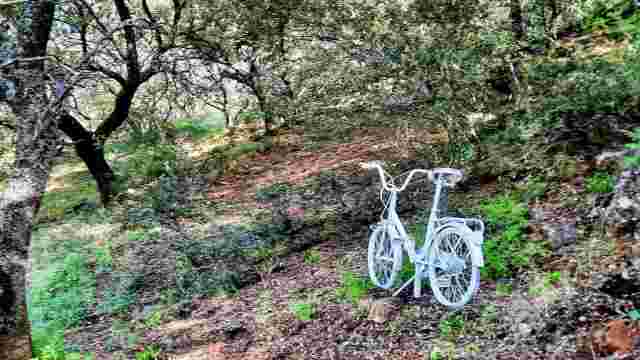
On the way to Venta Valero along the Arroyo Granada footpath, stopping at its chapel to take in the views of the countryside around Almedinilla.

CHRISTMAS MUSEUM TOUR
Distilleries steeped in history, nativity scenes, traditional sweets and cured meats fill the town with the magic and tradition of Christmas.
THE ALBERTI ROUTE
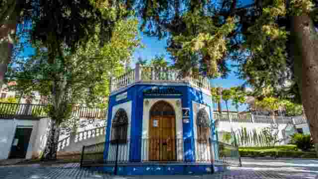
Discover Rute through the eyes of Rafael Alberti: the streets, parks and anecdotes of the poet who lived and wrote in this town in the 1920s
Pinar de Rute Trail
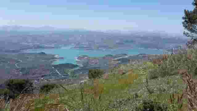
The Rute Pine Forest Trail offers a 2.5-hour walk through pine trees, past viewing points, with views of the Iznájar reservoir and the historic Canuto tower.
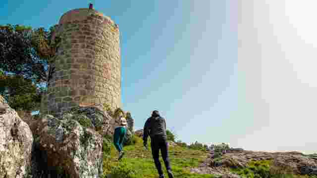
Path PR-231 - Sierra Rute
The Sierra de Rute walking route, signposted through pine forests, featuring an uphill climb, panoramic viewpoints and the historic Canuto, within the Subbét...
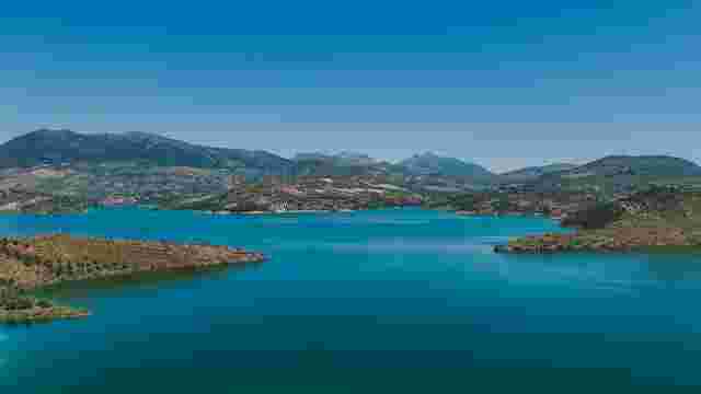
The Pamplinar Trail
A circular route winding through olive groves and along country lanes, with gentle slopes and panoramic views of the Iznájar reservoir.
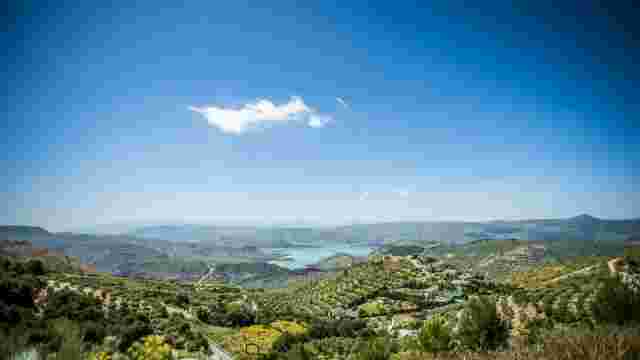
MTB Route - South Subbética
This is a long and varied route that combines rural stretches, traditional villages, back roads and mid-mountain landscapes, offering a broad overview of the...
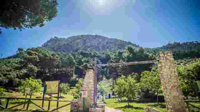
The Old Rute Trail
A route through the foothills and olive groves, featuring historical remains and panoramic views of the surrounding area
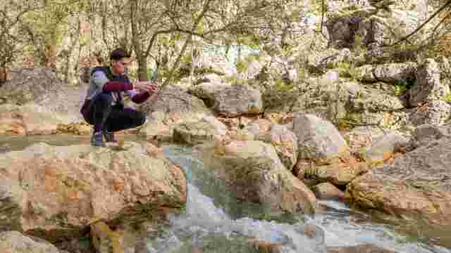
Trail – Río de la Hoz Gorge
Known as Salsipuedes, it is a spot of unique beauty with small waterfalls along the river

The Road to Villanueva
A rural setting featuring historic farmhouses, a fountain and a stream. Ideal for exploring the agricultural and cultural heritage and enjoying scenic routes.

The Louse Trail
A picturesque path winding through olive groves, bordered by dry stone walls, ideal for exploring historic trails and enjoying the countryside.

Fuente de las Piedras - Fuente del Arraijanal
Scenic routes along ancient paths, ideal for hiking, featuring recreational areas and historic bridges, offer a journey through unique olive-growing landscapes.

The path from Término to the Hermitage of Hope
A historic route winding through olive groves and traditional farmhouses, offering views of the Subbética mountains and a rich cultural heritage in a picture...

Granaino Path
A spot with a year-round spring, views of the Sierra de Cabra, a historic farmhouse and walking trails through olive groves – ideal for enjoying the natural ...

Gardopaz Path
A route featuring natural vegetation, olive trees and the Puente de la Sima bridge, ideal for hiking and enjoying unique landscapes and historic paths.

Gamonosa Path
A scenic route lined with majestic holm oaks, ideal for hiking, linking historic farmhouses and natural landscapes, offering stunning views and tranquillity.

Road to the Port
A rural landscape featuring olive groves and Mediterranean woodland, ideal for experiencing oral traditions and sustainable development, whilst preserving an...

The Paths of Camarena
A scenic route offering panoramic views, olive groves, Mediterranean vegetation and traditional features, ideal for hiking and exploring the natural surround...

The route from Valera to Fuente del Arraijanal
River routes featuring lush riverside vegetation and the historic fountain with its pillars and panels, ideal for exploring the local nature and culture.

Gañana Path
A route featuring historic cattle tracks, lush Mediterranean flora, and stops at geological and cultural landmarks, ideal for getting back to nature.

The Path to Cerro Lóbrego
This place offers unique landscapes featuring Jurassic fossils, fascinating flora and hidden waterfalls, making it the perfect spot to explore its natural be...

Calderones Path
A picturesque route featuring historic wells, old mills and olive groves, ideal for exploring farmhouses and enjoying the Mediterranean and riverside vegetat...

The Metedores' Path
This scenic route links a number of trails, showcasing iconic landscapes and a variety of routes, making it ideal for exploring the local natural and cultura...

Old Chapel Path
A picturesque, traditional path takes visitors through lush vegetation and olive groves, making it ideal for walks or bike rides.

Wine Route
Landscapes of vineyards and olive groves, walks along the Río Frío, historic farmhouses and birdwatching offer a unique experience for visitors.

Camino del Término, Cabra – Lucena
A picturesque route featuring historic farmhouses, panoramic views of the Sierras Subbéticas, and sunsets over fields of olive trees and ancient holm oaks. I...

The Llano Madero Trail
A rural route offering varied scenery, from olive groves to lagoons, ideal for leisurely walks and discovering the local history.

Castellar Path
A walk with views of Picacho, Mediterranean vegetation and a charming fountain. Ideal for nature lovers, with quiet paths and unique landscapes.

On the way to Lucena
A picturesque route winding through centuries-old olive groves and imposing country estates, ideal for leisure and sporting activities, with views of the Sie...

Goat at the Jarcas Spring
Historical routes featuring Neolithic and Iberian remains, natural springs and ancient Roman quarries offer a unique experience for tourists.

San Cristóbal Lagoon and El Pedroso
An ideal wetland for birdwatching and observing reptiles and amphibians, with scenic trails and views of olive groves and orchards – perfect for nature lovers.

Goat to Juan de Escama
A natural landscape featuring Mediterranean woodlands, ancient olive groves and stunning views of the mountains. Ideal for hiking and enjoying the great outd...

Cabra to the Cortijo de la Serona
A scenic route featuring historic footpaths, crossroads and a gallery forest. Ideal for enjoying natural landscapes and local traditions.

Cabra to Fuente de la B
Routes with lush vegetation, winding paths and panoramic views from a vantage point. Ideal for hiking and enjoying nature.

Cabra to the Hermitage of Hope
A scenic route offering panoramic views, riverside vegetation, diverse wildlife and historical heritage, ideal for nature and history lovers.

Goat to Camporredondo
Stunning landscapes featuring fossils, centuries-old holm oaks and views of the mountains. Perfect for hiking and exploring the Natural Park with its rich bi...

Gaena to the Llanos de Don Juan
This scenic route features breathtaking landscapes with views of the Sierras Subbéticas, ammonite fossils, holm oak woodlands and traditional architecture.

From Cabra to Monturque
Paths lined with irrigation channels, old salt flats and picturesque footpaths offer a unique journey through orchards and historic landscapes.

Goat to the Llanos del Espinar
A picturesque landscape with picnic areas, historic ruins and rich biodiversity, ideal for hiking and birdwatching.
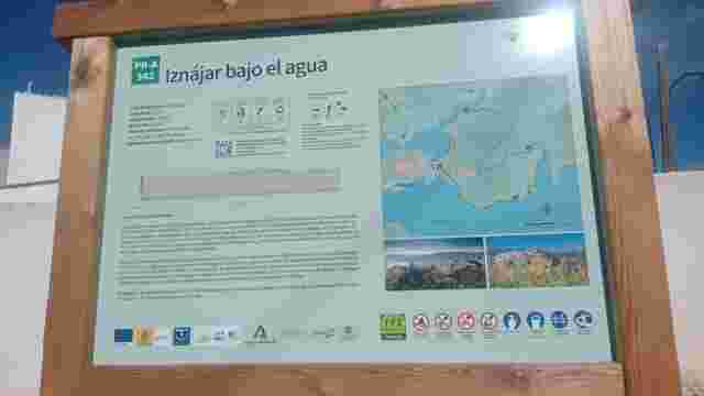
PR-A 342 - Iznájar Under Water
A FAM-approved trail where you can explore floodplains, centuries-old olive groves and Aleppo pine forests, whilst enjoying unforgettable views of the reserv...
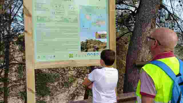
SL-A 423 – The Pine Forest Route.
This trail is a route that combines stunning scenery with the natural landscapes closest to the town centre, all of which are linked by the presence of the r...
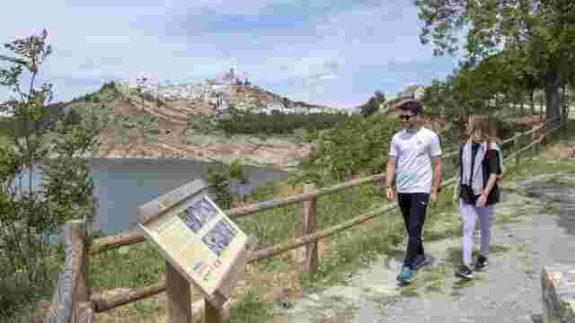
PR-A 498 - Camino de la Piedad
It is the ancient pilgrimage route from the neighbouring villages in western Granada, reflecting the centuries-old devotion to the Virgin of Mercy, which has...
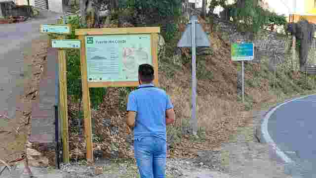
SL-A 341 - Fuente del Conde Trail
The “Fuente del Conde trail”, also known as the “Camino de Magán”, is a circular route of around 5.5 kilometres that takes in an area of outstanding natural ...
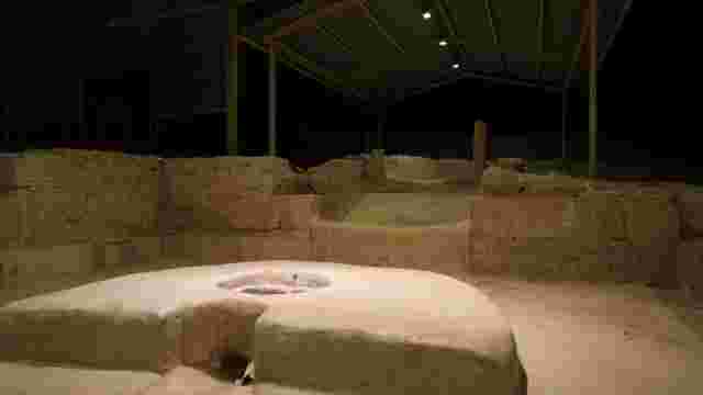
Almedinilla Archaeological Site
A tour of Almedinilla’s Iberian and Roman heritage: the Roman villa of El Ruedo, Cerro de la Cruz and the Historical and Archaeological Museum.
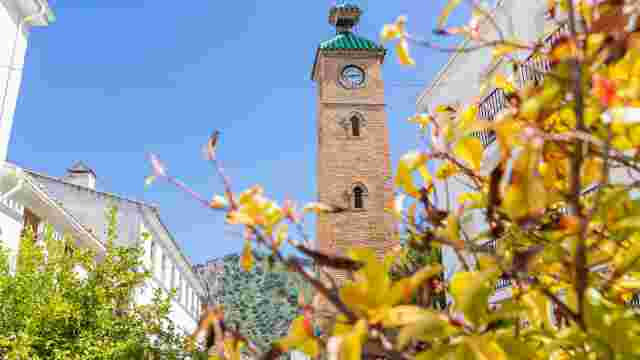
Almedinilla in a day: Streets and hidden corners
Almedinilla in a day: heritage, history, cuisine and scenery for a complete experience in the heart of the Subbética
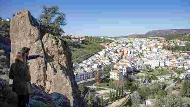
Almedinilla from above. The Viewpoint Trail
Almedinilla from above: a route taking in its viewpoints to enjoy the scenery, panoramic views of the village and unique vistas of the Subbética.
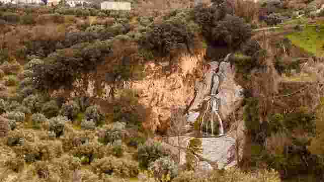
The "Salto del Caballo" Trail
A nature walk through Almedinilla, taking in the paths, the vegetation and the Salto del Caballo waterfall.
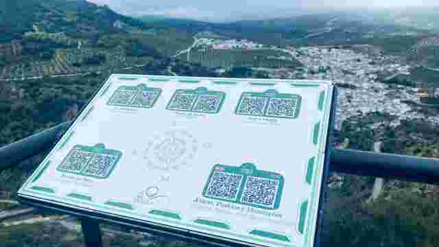
The "Caicena Highlands" Trail
Hiking route with a stop at El Pingorote and finishing at the Cerro de la Cruz viewpoint.
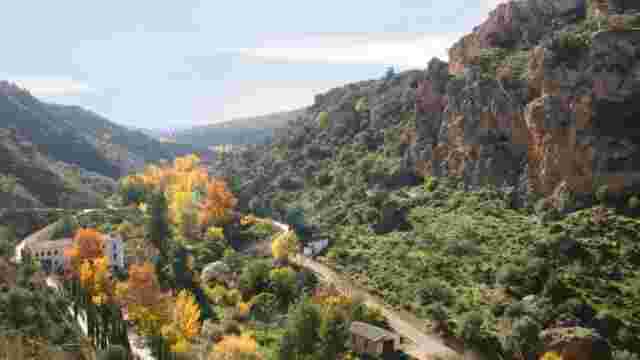
"Almedinilla at Your Feet" Trail
Explore scenic trails with panoramic views, historical sites like Cerro de la Cruz, and enjoy a mix of nature and heritage on this diverse route.
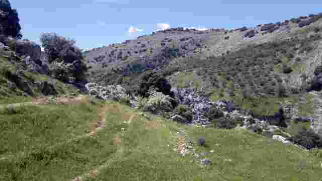
The Water Trail
This circular route runs mainly through the Bailón River canyon
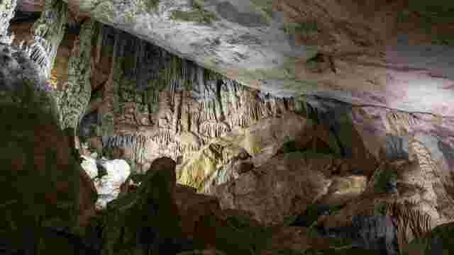
Zuheros – Bat Cave
The panoramic views of both central Andalusia and the Sierras Subbéticas Natural Park make this route one of the most highly recommended.
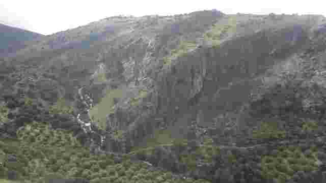
River Bailón
It is one of the most popular hiking trails in the Sierras Subbéticas Natural Park & Geopark
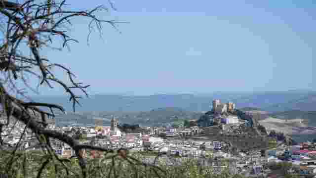
THE PATH OF EVIL WINDS
A wonderful circular route offering extraordinary scenery within the Sierras Subbéticas Geopark.
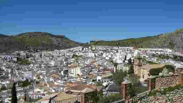
LUQUE: A Town of Historical and Artistic Interest
A wonderful circular walk that takes in much of the town’s historical and artistic heritage.
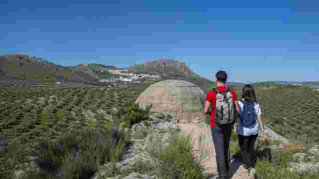
THE ALAMILLO BUNKERS TRAIL
A very short walk along the Vía Verde del Aceite to the Civil War bunkers at Alamillo.
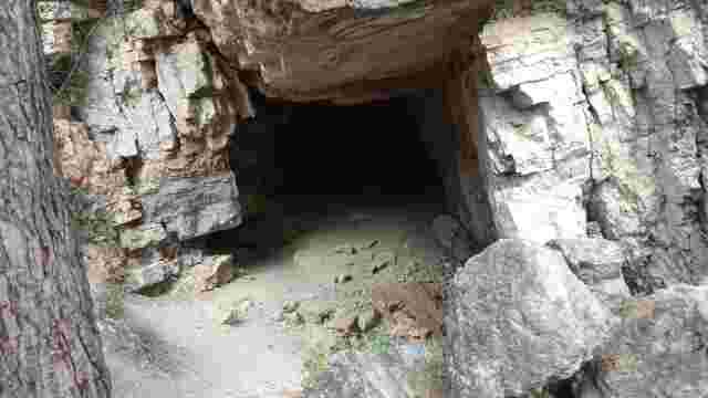
PR-A 160 Caños de Benamejí
A short circular walk through pine forests and rocky terrain, with views of the Renaissance bridge, ideal for exploring the Peña Parda cave.
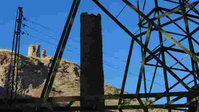
Aguas del Genil Trail
A circular walk along the River Genil, linking the riverbank, a historic watermill, a pine forest and viewing points in one of Benamejí’s most varied routes.
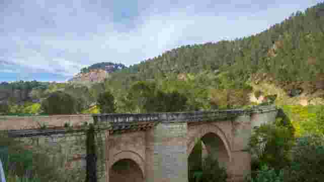
The Charms of the Genil Riverbank Route
A circular route on foot or by bike that combines nature, a Renaissance bridge, a castle, waterwheels and the La Grieta viewpoint.
The Genil River Waterwheels Trail
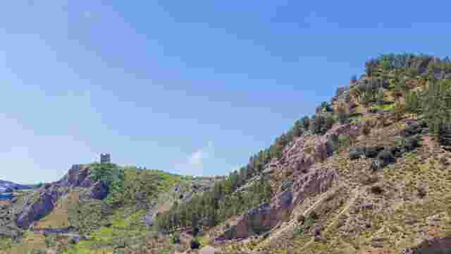
A circular walk through pine forests, orchards and riverside woodland to discover the historic Arab waterwheels of the Genil.
Benamejí Scenic Cycle Route
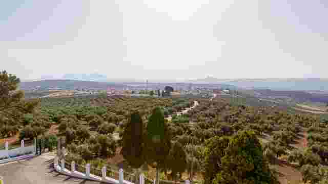
A circular cycle route to explore the stunning landscapes and the natural and cultural heritage of Benamejí on two wheels.
The Benamejí Way of the Cross
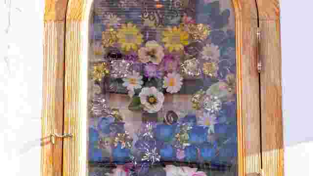
A cultural walking route taking in historic crossroads steeped in legend. Along the way, you’ll discover charming spots and places.
The Zagrilla Spring to Las Majadas de El Esparragal Trail
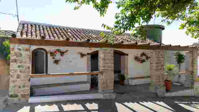
This trail starts at the Fuente de Zagrilla, where water gushes abundantly from between the rocks, pooling in a large basin before flowing on to the most bea...
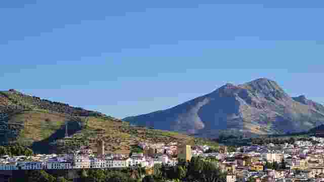
Tiñosa Peak
This trail starts in the village of Las Lagunillas and leads to Pico de la Tiñosa, the highest point in the province of Córdoba at 1,570 metres
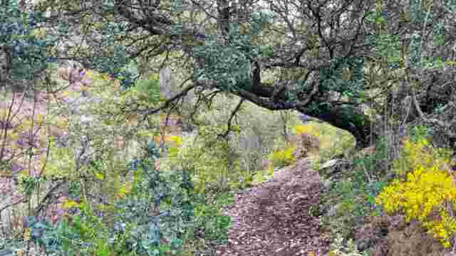
Bakers' Cross Trail
This trail winds through the mountainous landscape of the Sierra de Albayate, an area of great natural interest, but its archaeological and ethnographic sign...
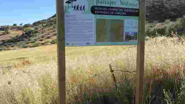
Alborazor Road
The site, situated on one of the banks of the “Las Angosturas” area, occupies a privileged location in terms of both its strategic position and its scenic be...
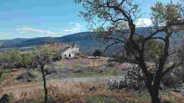
GR-341 Stage 1
The trail starts in Alcalá la Real on Camino Nuevo; from there, the route heads towards the hamlet of Puertollano along the path known as Camino de la Cruz d...
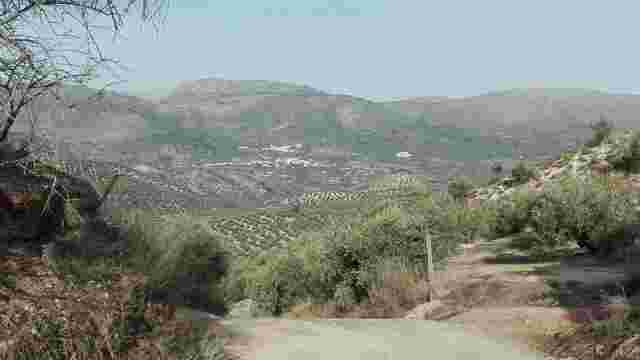
GR-341 Stage 2
We’ll take the Camino de los Hoyos to leave the town centre of Priego de Córdoba, passing for several kilometres through scattered buildings and farmland dom...

Sierra Abrevia Trail
A mid-mountain hike through the Sierra Abrevia, taking in Mediterranean woodlands and natural vantage points offering panoramic views of the sea of olive trees.
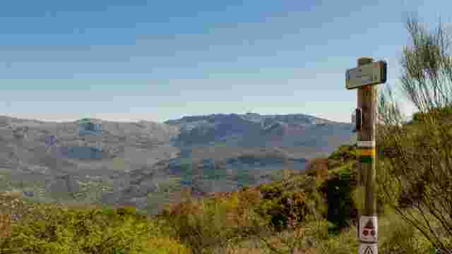
LUCA TRAIL
This trail offers a wealth of attractions, with the highlight being the section through Puerto Escaño, which offers stunning views of the Sierras Subbéticas
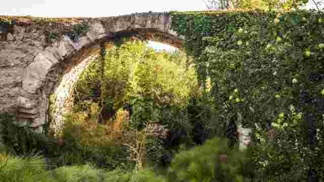
CALIPHATE BRIDGE
A trail that combines outstanding scenery and heritage, offering views of the castle and the mountains, passing by the River Palancar and the area around Cer...
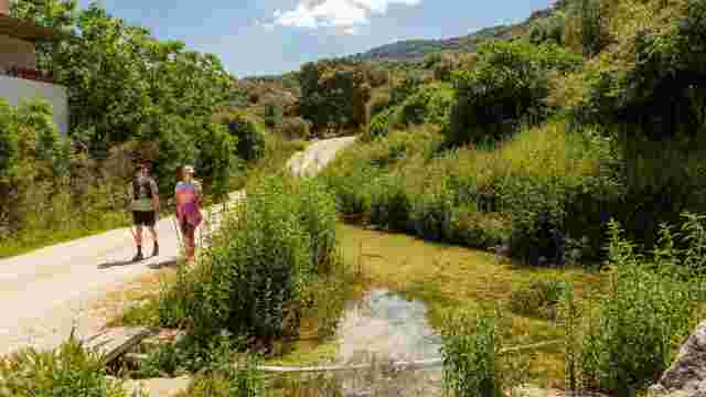
HARD SPRING
A trail that combines agricultural and mountainous landscapes, offering sweeping views over Carcabuey, passing through olive groves, Mediterranean vegetation...
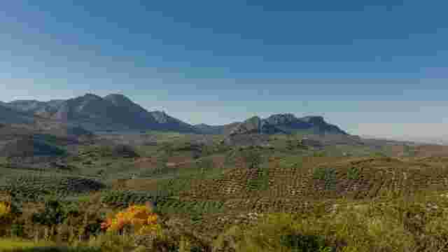
CAÑADA STOVES
A trail offering a wealth of scenic beauty, with highlights including the pass at Puerto Escaño, the stream and the sweeping views of the Sierras Subbéticas.
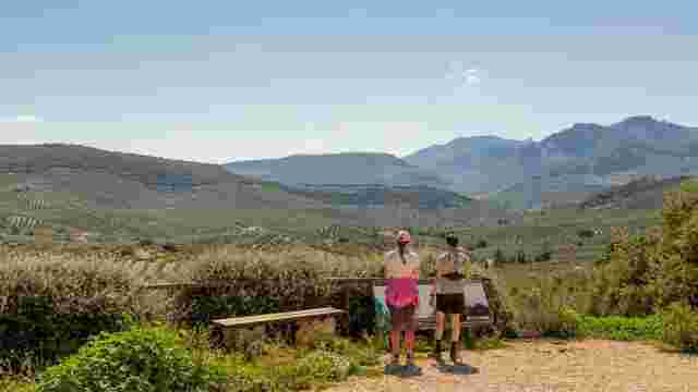
ALGAR VIEWPOINT
A trail that winds through areas of great natural and scenic beauty, notably the surroundings of Peñarrubia, the Algar stream and the views from the Mirador ...
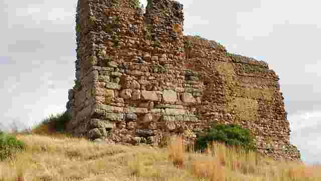
ALGAR CASTLE
A trail that combines cultural heritage and natural beauty, featuring the Fuente de Salazar, the Camino de las Cabezás and views of the Sierra Gallinera.
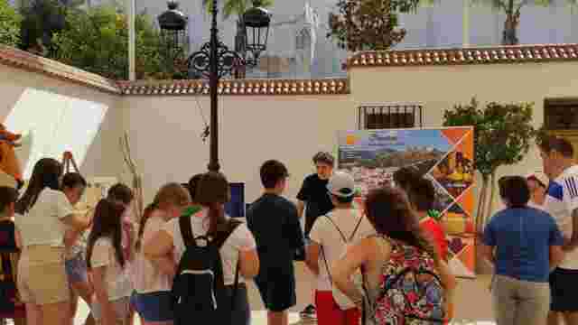
MARCO TOPO CARCABUEY
A family activity that combines city walks and hiking trails, exploring monuments, fountains and olive groves through the interactive game Marco Topo.
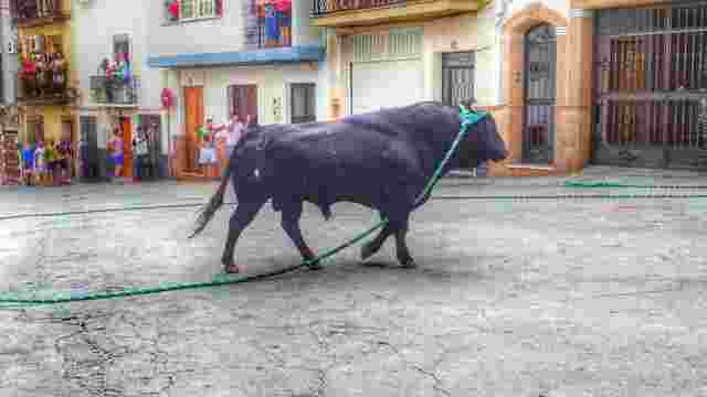
THE ROPE BULL ROUTE
A route that follows the traditional path of the Toro de Cuerda, with QR codes providing access to videos of each section of the route
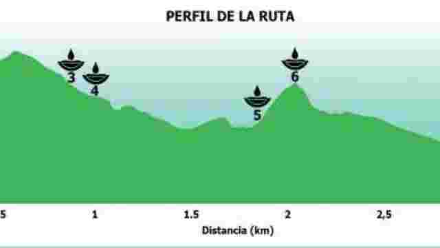
GREEN ROUTES OF SPRINGS AND WELLS
The Fountains and Springs Trail. You’ll enjoy three fantastic routes, each marked by a different colour, covering a distance of around 6 km and taking an est...
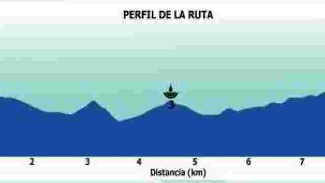
BLUE ROUTES OF THE SPRINGS AND WELLS
Historic fountains and rural springs offer a picturesque tour featuring ancient inscriptions, restored mills and traditional uses of water.
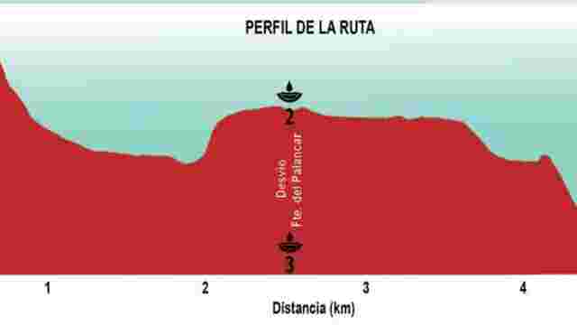
RED ROUTE OF THE SPRINGS AND WELLS
A route featuring picturesque fountains, views of the castle, recreational areas and a park with a children’s play area, ideal for relaxing and enjoying nature.

PEARL OF SEFARAD
A historic town with a rich Jewish heritage, famous for its Academy of Talmudic Studies and the largest excavated Jewish cemetery on the Iberian Peninsula.

BAROQUE ROUTE
Discover the splendour of the Baroque in southern Córdoba, with monuments such as the Sagrario de San Mateo and the Palace of the Counts of Santa Ana.

CASTLES, PALACES AND MANOR HOUSES
Baroque palaces and manor houses, with their unique decorative features such as straight pediments, offer a fascinating cultural and architectural experience.

MONUMENTAL COURTYARDS OF LUCENA
Discover the history and architectural significance of cloisters, castle courtyards and Baroque palaces on a unique and distinctive architectural tour.
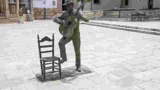
URBAN SCULPTURE ROUTE
We recommend a lovely tour of our city, taking in tourist attractions where art blends seamlessly with the urban landscape, and highlighting nearby buildings...

SQUARES, PLAZAS AND CORNERS
Charming open spaces, transformed over time, offer a unique and appealing character for tourists.
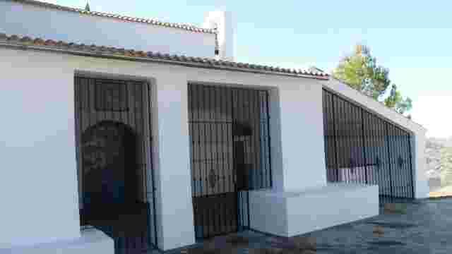
Hermitage of Saint Michael of Castellar
A semi-circular route that starts near the Red Cross post, next to the A-4154 road, in the municipality of Priego de Córdoba, and follows country lanes and t...
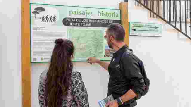
FUENTE-TÓJAR GORGE TRAIL
A walking and cycling route that winds its way through the municipality of Fuente-Tojar, passing several points of interest in terms of both tourism and scen...
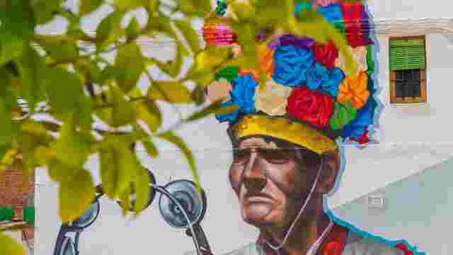
FUENTE-TÓJAR URBAN ART TOUR
A collection of murals that together form an open-air museum showcasing the customs, traditions and history of the municipality.