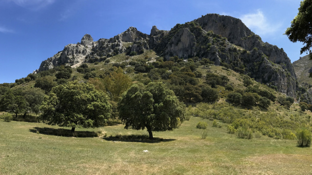
Dehesa Vichira
It is situated very close to the village of Los Villares, at the foot of Pico Bermejo in the Subbéticas mountain range.
For many years, the land at the foot of the western flank of the Sierra Horconera (Pico Bermejo and Loma de las Chozas) and the northern face of the Sierra de Rute was covered by extensive pastures dotted with holm oaks, which were used for cereal cultivation and livestock rearing. Various human-induced changes have gradually transformed this landscape, and olive groves have come to dominate, reducing the natural vegetation to the steepest areas of the mountains. Today, it is still possible to find pastureland within the Sierras Subbéticas Natural Park; one of the best-known examples is the Dehesa Vichira, situated beneath the imposing buttresses of the western face of Pico Bermejo and populated by holm oak pastures, with some specimens of truly extraordinary size. The evocative landscape formed by these trees, alongside the old cultivated fields and the Mediterranean undergrowth at the foot of the rocky cliffs, has earned it the designation of ‘unique grove’ by Priego de Córdoba Town Council.
The lands of the Dehesa Vichira have been the scene of various historical upheavals, mainly during the Muslim rule, when they changed hands on several occasions. The inhabitants of the nearby Jardín del Moro cultivated their fertile lands and took their livestock there to graze. Furthermore, since ancient times, it has been a transit point for travellers and transhumant herders, mainly due to the presence in the area of the Old Road from Priego to Rute (GR-7).
In local parlance, the name is usually pronounced ‘Jesa Vichira’ when referring to this spot.
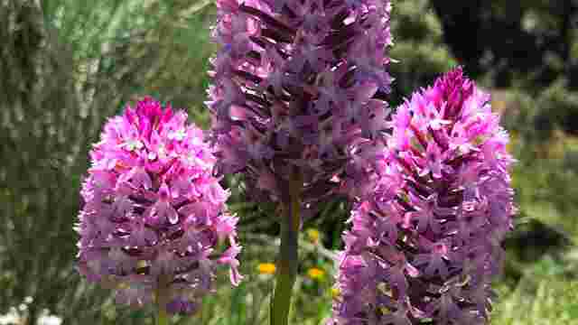
STAGE 1: Lucena - Zambra (Opening date pending)
The stage begins in the town centre of Lucena, specifically on Calle Rute and Camino Viejo de Rute, following a livestock track of the same name for the firs...
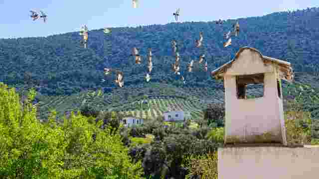
STAGE 2: Zambra - Rute (Opening date pending)
The stage begins in the village of Zambra, next to the A-331 road, and initially follows the same route as the previous stage along the road from Lucena to Z...
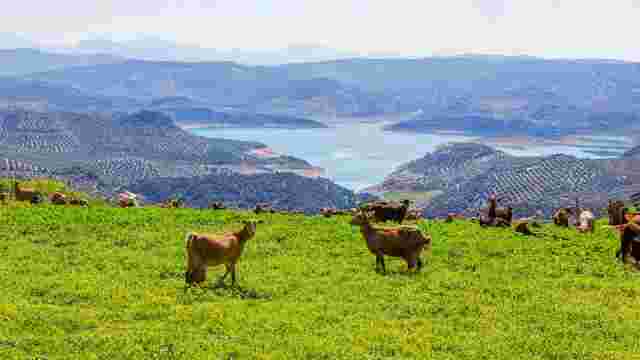
STAGE 3: Rute - Las Lagunillas (Opening date pending)
The stage begins in Rute, on Calle Vadillo, initially following the route of Stage 2 and the European GR-7 E-4 trail through the Sierra y Lanchar de Rute pub...
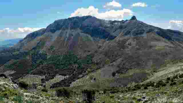
STAGE 4: Las Lagunillas - Priego de Córdoba (Awaiting inauguration)
This stage of the Subbeticana Route is notable for its great geological and scenic value, as it takes you into the Sierra de la Horconera, the most rugged pa...
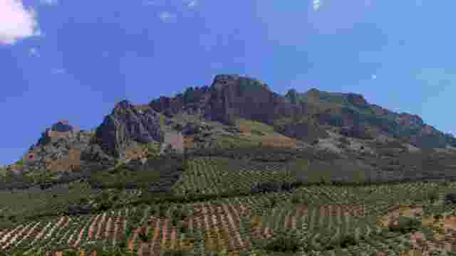
STAGE 5: Priego de Córdoba - Carcabuey (Awaiting inauguration)
This stage of the Subbeticana Route begins in Priego de Córdoba, on Calle Carmen Luque Matilla, following the GR-7 E-4 trail and the Colada de la Fuente Carc...
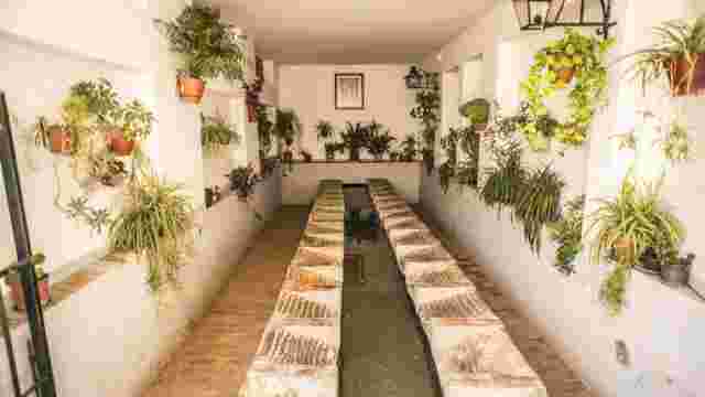
STAGE 6: Carcabuey - Luque (Awaiting inauguration)
The stage begins on Calle Arenal in Carcabuey and follows the local Puente Califal trail (SL-A 259) through olive and quince groves until it reaches this Al-...
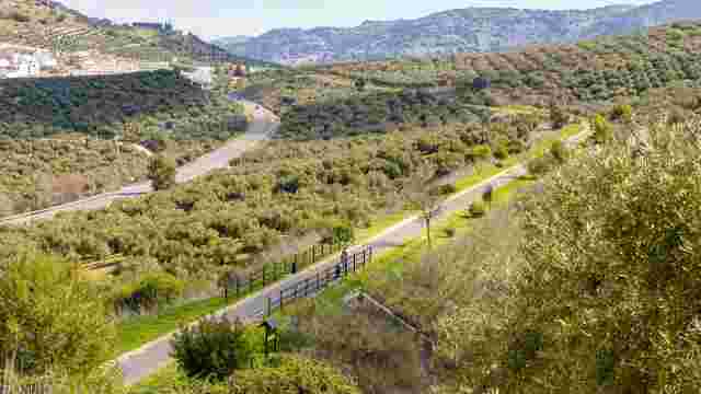
STAGE 7: Luque - Doña Mencía (Awaiting inauguration)
The stage begins on the Paseo de las Delicias in Luque and follows the Camino de los Cangilones, joining the local Malos Vientos footpath. After the first ta...
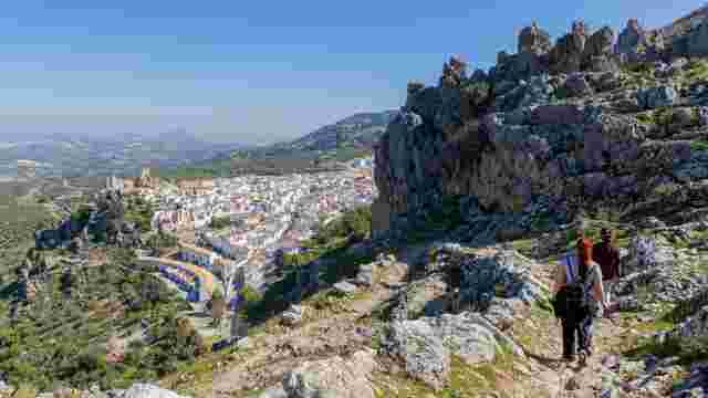
STAGE 8: Doña Mencía - Zuheros (Awaiting inauguration)
This stage follows the entire length of the Sierra Abrevia PR-A 422 public footpath, which opened in 2021. It starts at the old Doña Mencía railway station a...
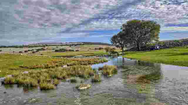
STAGE 9: Zuheros - Cabra (Pending inauguration)
The stage begins at the car park by the Bailón River bridge and follows the public footpath along the Bailón River, one of the most iconic routes in the Sier...
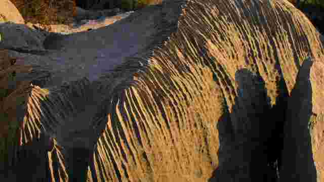
STAGE 10: Cabra - Lucena (Opening date pending)
The stage begins on the Llano Madero track, near Prado de Rute and the Mojardín bridge. After crossing the A-339 road linking Lucena and Priego de Córdoba, t...
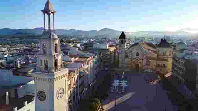
Lucena
Lucena is situated at an altitude of 487 m and 67 km from Córdoba. It has a population of 43,408 (INE, 2025) and its municipal area covers 348 km².
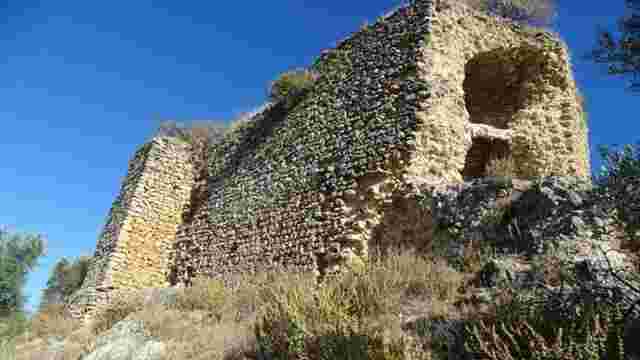
Zambra Castle
Zambra Castle stands on a rocky hill amidst olive groves, near the village of Zambra – the ancient Roman town of Cisimbrium – in the municipality of Rute.
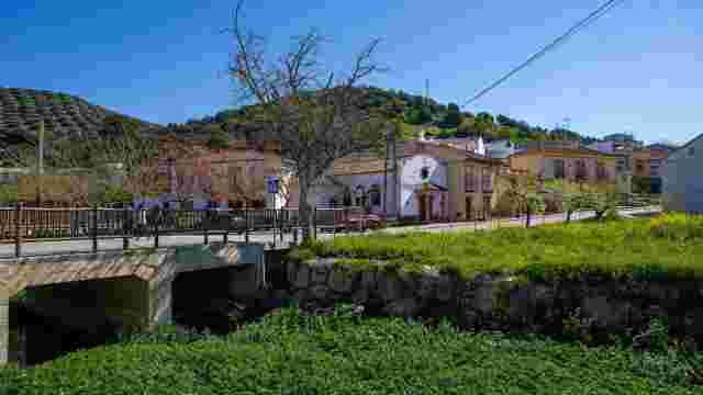
Source of the River Anzur
A spring situated a few metres from the bed of the Arroyo de Gaena, 300 m north of the village of El Nacimiento in Rute, so named because of this significant...
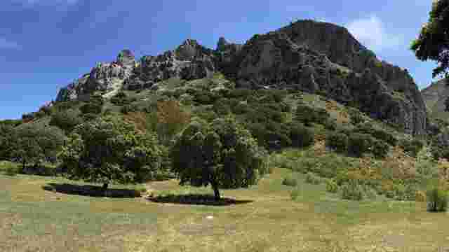
Dehesa Vichira
It is situated very close to the village of Los Villares, at the foot of Pico Bermejo in the Subbéticas mountain range.
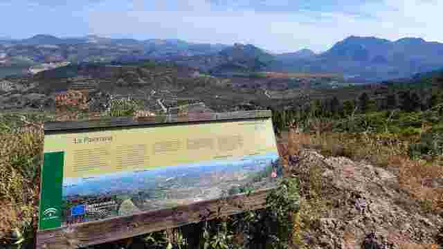
La Palomina Viewpoint
A viewpoint situated in the Pingolongo area, at the foot of the Cañada de la Palomina
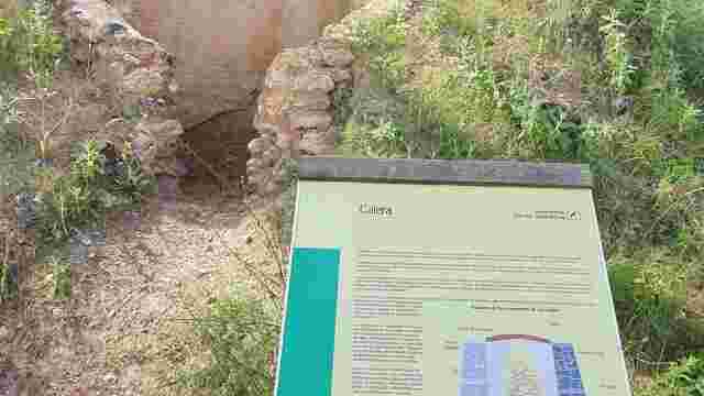
Las Caleras
A group of three lime kilns situated just a few metres apart, which were built alongside the Old Road from Priego to Rute (GR-7), some 950 m north-east of Fu...
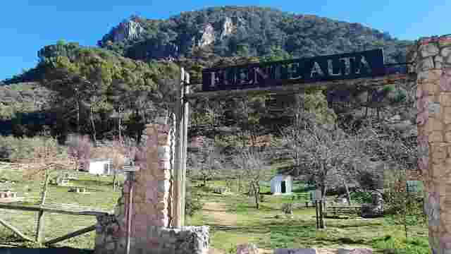
Fuente Alta
A spring situated at the foot of the western face of the Sierra de Rute, 900 metres from the town centre, next to the Rute Tennis Club.
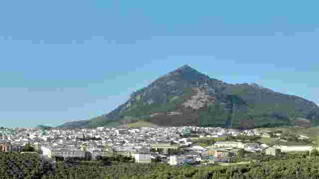
Route
The town of Rute is situated in the south-west of the province of Córdoba, at an altitude of 635 metres, at the foot of the mountain range of the same name, ...
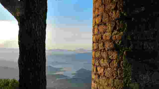
El Canuto
A medieval watchtower standing at the western end of the Sierra de Rute. Situated on the summit of Cerro del Hacho, at an altitude of 980 m
Rute’s Snack Bar
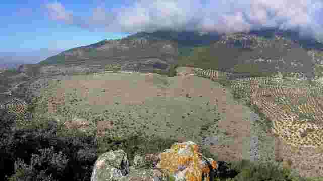
A limestone lapiaz. The one in question covers a large area of land between the road from Las Lagunillas to Rute and the riverbed of the Río la Hoz, particul...
Peñón del Grajo
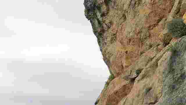
A prominent rocky outcrop situated 170 m to the south-west of Casilla Covezuelas, about 2 km to the west of Las Lagunillas.
Encina del Tejón
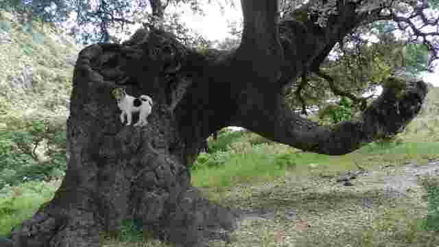
An holm oak classified as a ‘singular tree’ in the province of Córdoba due to its distinctive appearance and unusual trunk. It is situated some 400 m south-e...
Cañatienda Spring
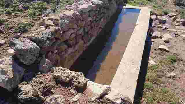
A small spring situated at an altitude of 1,030 m, 200 m north of the Cortijo de Cañatienda.
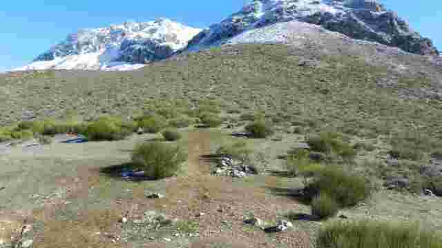
Mahína Port
A mountain pass at an altitude of 1,165 m, separating La Tiñosa (E) from the Sierra Alhucemas (W).
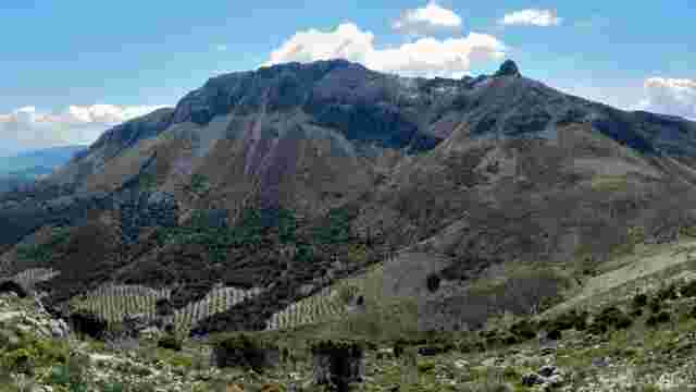
La Tiñosa
La Tiñosa is the most prominent mountain in the Sierras Subbéticas Natural Park. At an altitude of 1,570 metres, it is the highest peak in the province of Có...
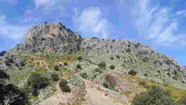
Tajo el Andén
A large ravine marking the end of the Sierra Alhucemas spur at its north-eastern tip. It is situated some 400 m to the west of the Cortijo de la Peñuela.
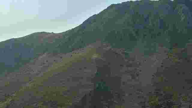
The Plateau (Periglacial Cake)
A geological formation with a sloping profile and a rounded shape, situated at the foot of the escarpments on the north-western slope of La Tiñosa.
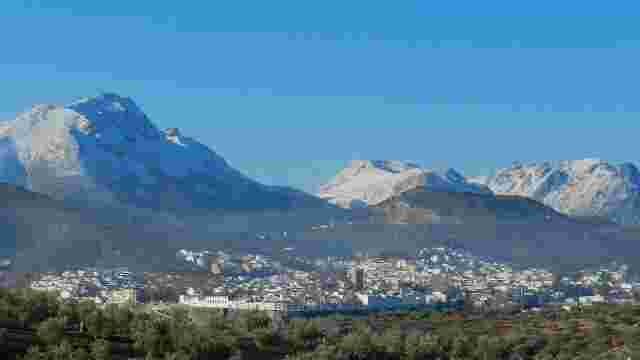
Priego de Córdoba
Priego is a town situated in the south-eastern corner of the province of Córdoba, 100 km from the provincial capital.
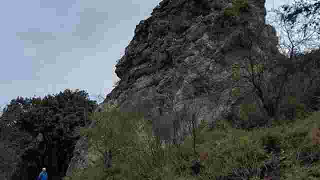
Peñón de Jaula
A large rock that stands out, standing alone just a few metres from the route of the Camino Viejo de Rute. A large rock that stands out, standing alone just ...
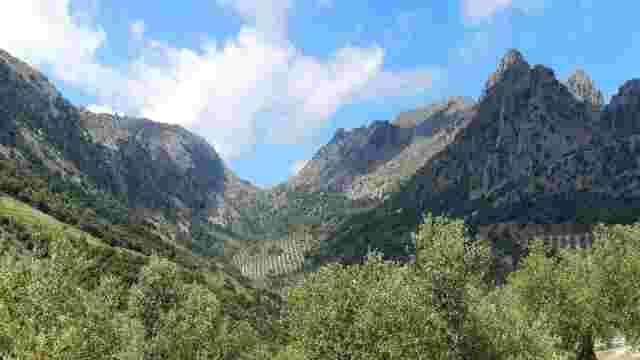
Puerto del Cerezo
A spectacular mountain pass situated at an altitude of 1,301 m, at the head of the valley of the same name, between Pico Bermejo and the northernmost part of...
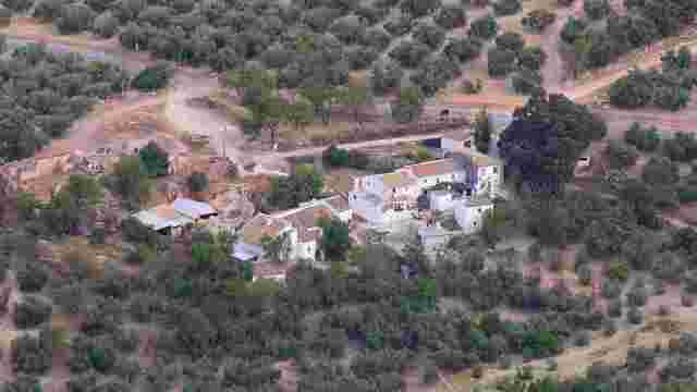
Fuente Barea
A housing development situated at the 7.150 km mark on the road from Priego to Los Villares (CO-7208).
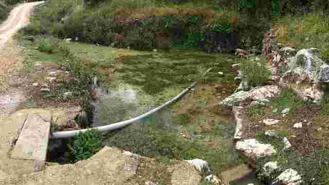
Fuente Dura
A spring situated on the right-hand side of the Camino de los Pollos, some 1,000 m from where it begins in Carcabuey and at an altitude of 638 m.
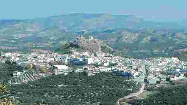
Carcabuey
Situated in the south-eastern corner of the province of Córdoba, at an altitude of 639 m
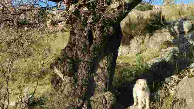
Almendro de la Cañada el Sastre
A magnificent specimen of an almond tree (Prunus dulcis) situated a few metres before the start of the Cañada el Sastre, at km 2.560 on the road from Luque t...
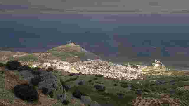
Luque
It serves as the north-eastern gateway to the nature reserve and is situated between the countryside and the mountains. Its town centre lies at an altitude o...
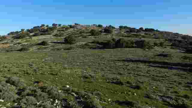
Port of Malos Vientos
A pass rising to an altitude of 935 m, which serves as a natural passage between the Cangilones hills (north, in Luque) and Cerro de los Murciélagos (south-w...
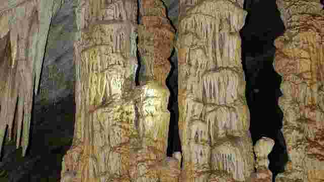
Bat Cave
The Cueva de los Murciélagos is situated at an altitude of 980 m, on the northern slope of Cerro de los Murciélagos, a hill whose name derives from the cave’...
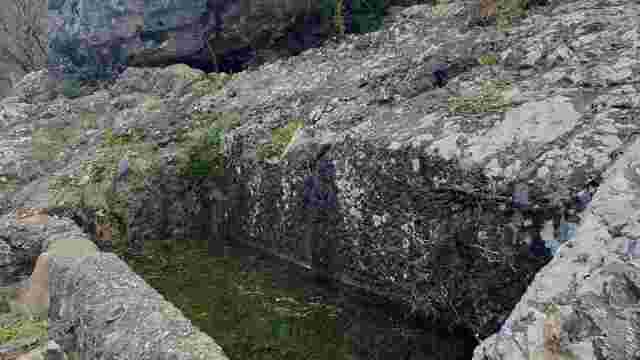
Pilar del Pozuelo
This magnificent pillar is situated a few metres above the Carretera de la Cueva de los Murciélagos (CO-6210).
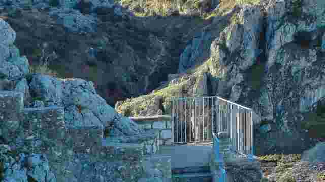
Atalaya Viewpoint
An artificial viewing platform offering a breathtaking panoramic view of the Charco Hondo Canyon.
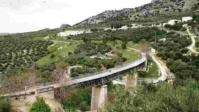
Zuheros Viaduct
The Zuheros Viaduct is a steel viaduct that spans the Bailón River gorge.
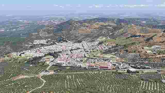
Doña Mencía
The town of Doña Mencía is situated at the north-western edge of the nature reserve, at an altitude of around 600 m above sea level, and has a population of ...
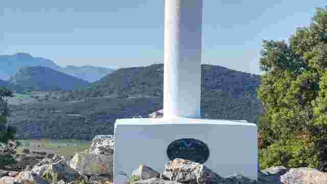
The Shortcut
La Abrevia is a hill rising to an altitude of 1,129 metres and is the highest point in the municipality of Doña Mencía.
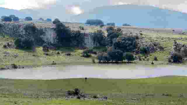
La Laguna
A temporary lake that forms only in years of heavy rainfall in the centre of the Cañada la Laguna, to which it gives its name.
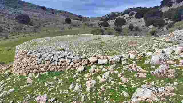
The ironworks and hut at La Cañada la Laguna
It was a round structure situated in the lowest part of the Cañada de la Laguna, on its northern side.
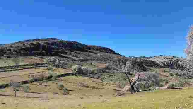
Monteprieto
A group of gently sloping fields spread out below the Tajos de Monteprieto, some 900 m to the west of the summit of Cerro Zumacal.
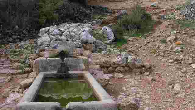
Pozuelo Spring
A spring situated at an altitude of 832 m on the Camino del Pozuelo, approximately 1.5 km from the start of this livestock track in Zuheros, on the northern ...
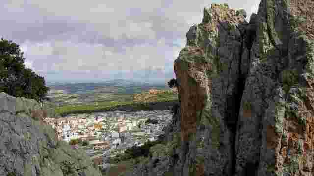
Zuheros
The municipality of Zuheros is situated in the south-east of the province of Córdoba, on the northern boundary of the Sierras Subbéticas Natural Park, at an ...
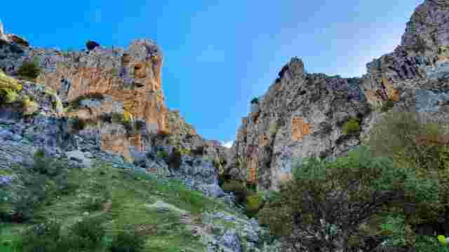
Bailón River Gorge
An extraordinary karst formation consisting of a narrow ravine carved out by the River Bailón between Cerro Zumacal (W) and Cerro de los Murciélagos (E), res...
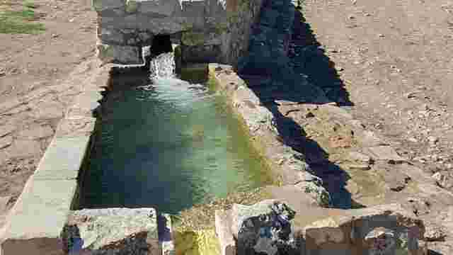
Fuenfría Spring
The Fuente de la Fuenfría is one of the best-known springs in our natural park due to its location alongside the Bailón River Trail, also known as the Cabra ...
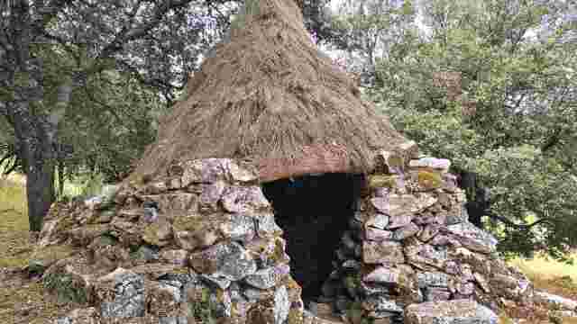
Eras de la Fuenfría, Cerrillo Peines and Choza del Cerrillo Peines
In the area around the Fuenfría there are several threshing floors and huts of great ethnographic interest which have been restored by the Subbética Associat...
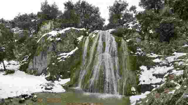
Las Chorreras
Waterfalls halfway along the Río Bailón footpath between Cabra and Zuheros.
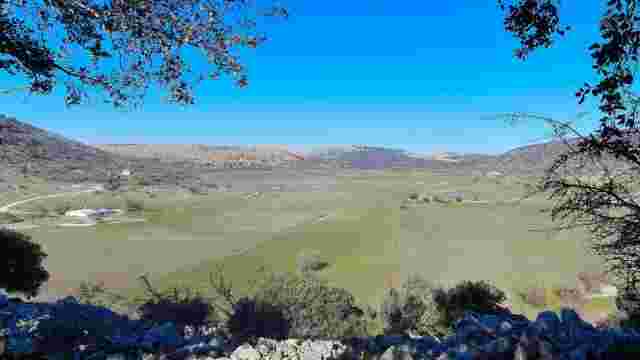
Llano de la Nava
The Llano de la Nava, formerly known as the ‘Llanos de la Virgen’ or ‘Llanos Bajos’, is one of the most unique and interesting landscapes in Andalusia.
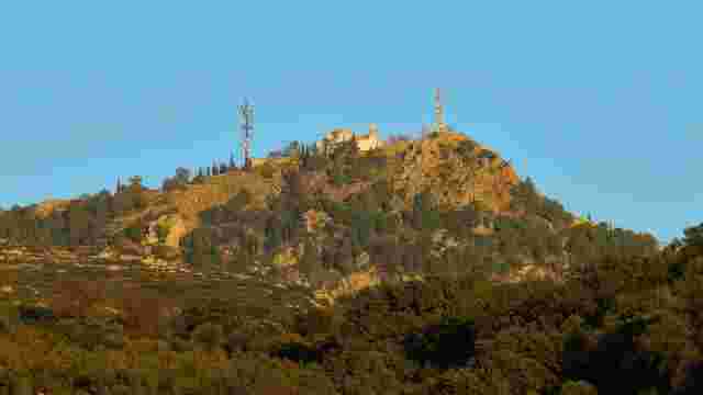
Picacho de la Virgen de la Sierra
An iconic landmark of the natural park, the Picacho de la Virgen in the Sierra de Cabra rises to an altitude of 1,216 metres and ranks ninth amongst the high...
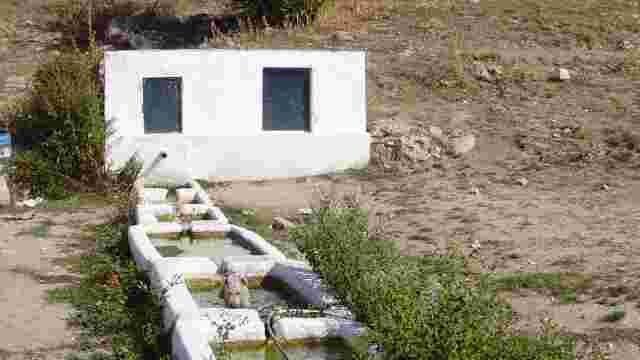
Viñuela Spring
The Fuente de la Viñuela is one of the best-known springs in the entire Egabrense mountain range, owing to its location and its long history. It is situated ...
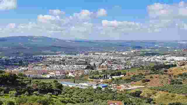
Goat
Cabra is situated at an altitude of 458 metres, in a picturesque setting at the foot of the mountain range of the same name. Its location next to the Sierras...
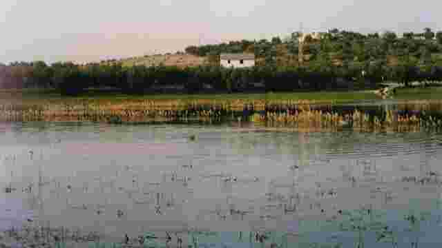
San Cristóbal Lagoon
A temporary endorheic lake situated 700 m south of the town centre of Cabra, surrounded by olive groves.
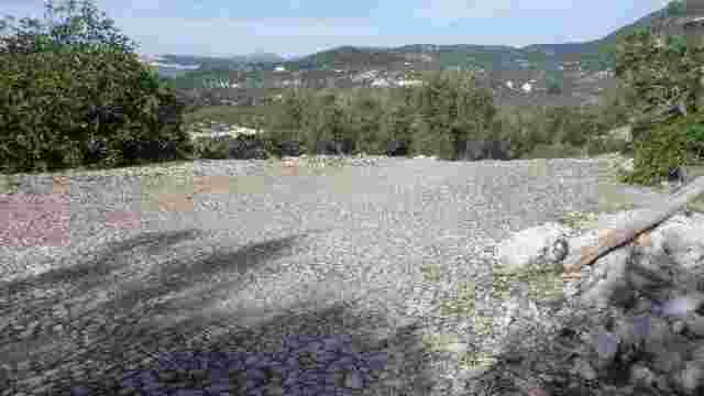
It belonged to the Cortijo Cagatrompos
A splendid round stone structure situated next to the ruins of the Cagatrompos farmhouse.
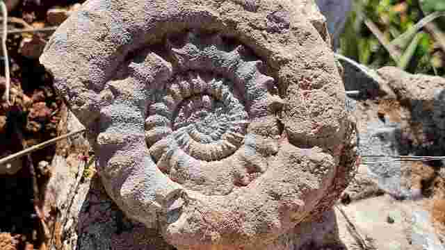
Valley of the Fossils
The area known as the ‘Valley of the Fossils’ is a landscape situated some 6 km south-east of the town centre of Cabra, where olive groves alternate with pat...