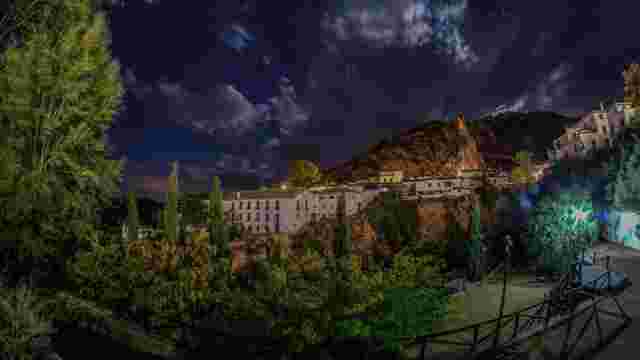
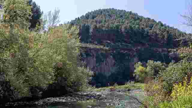
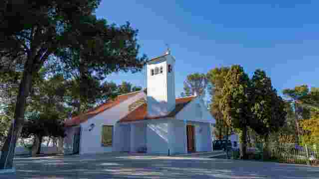
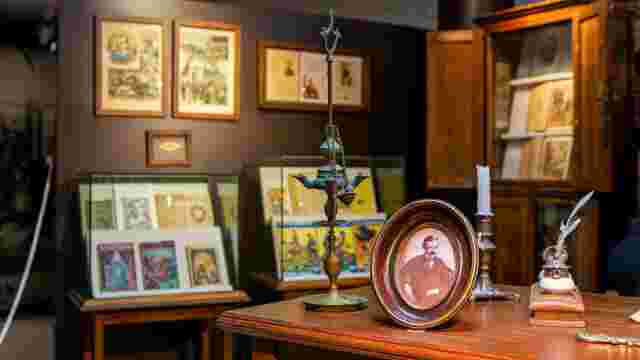
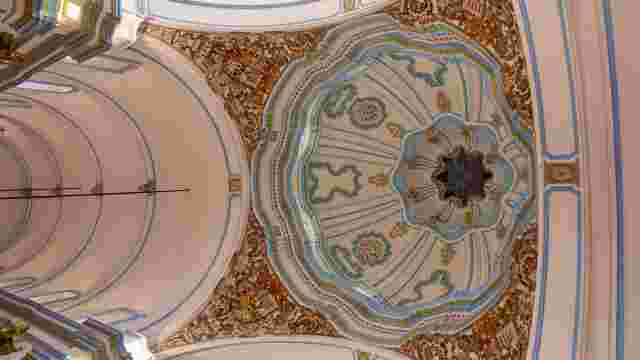
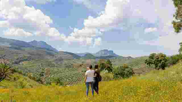
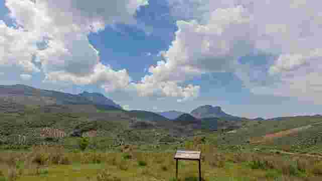
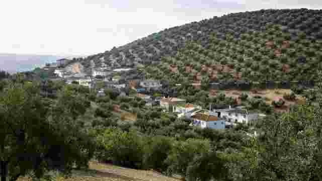
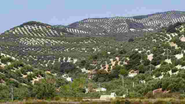
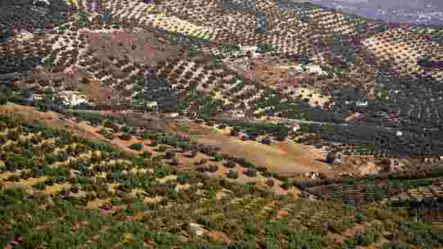
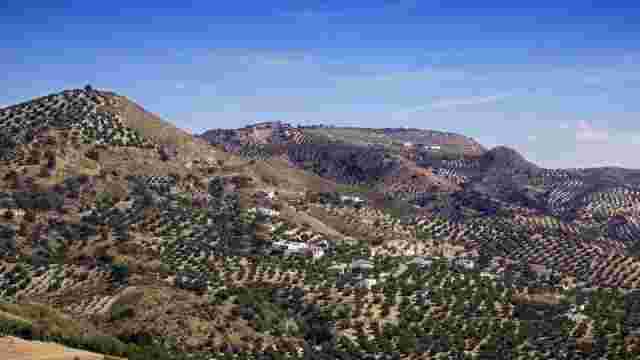
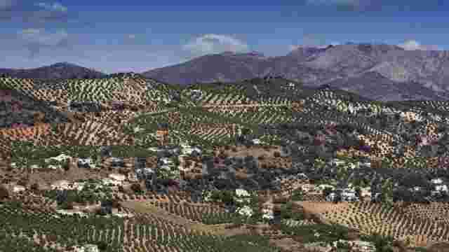
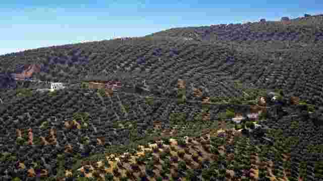
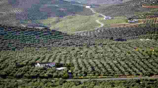
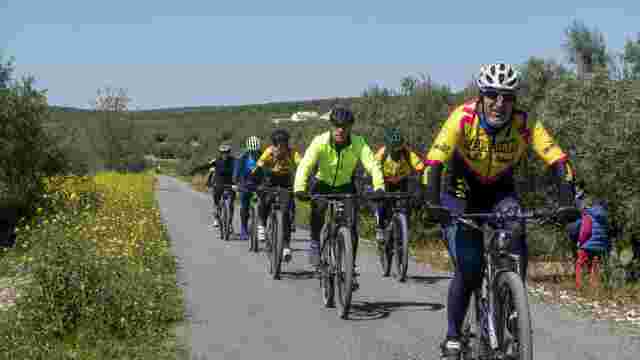
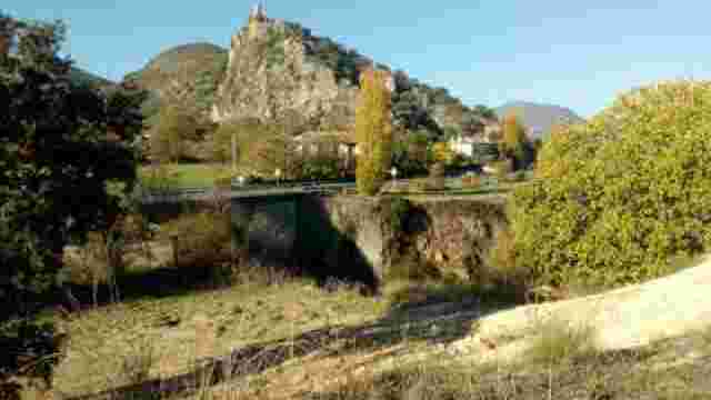
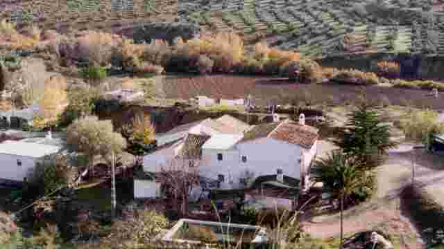
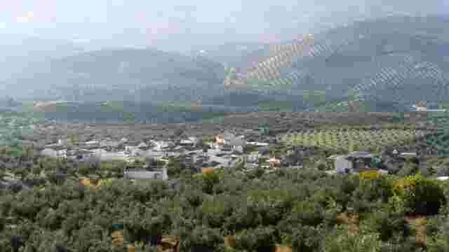
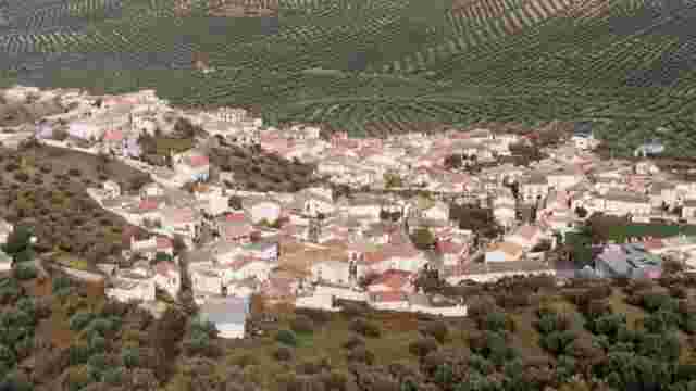
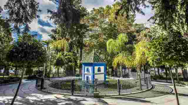
Subbetica
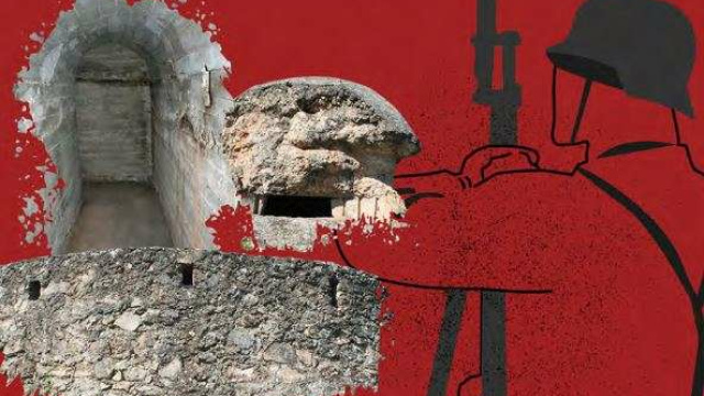
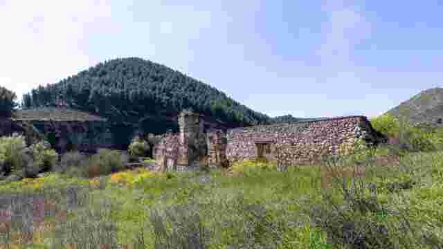
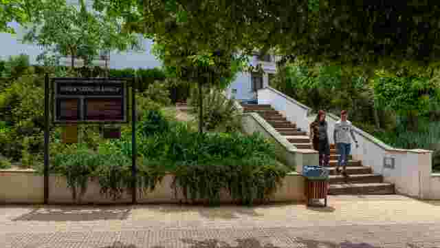
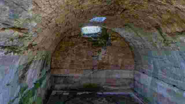
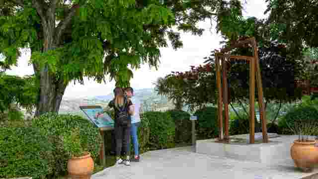
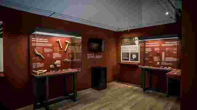
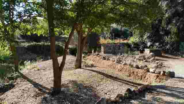
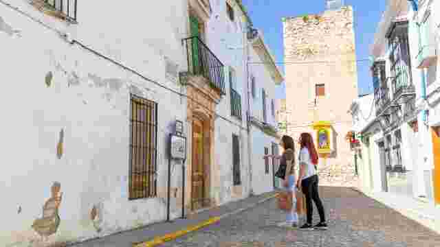
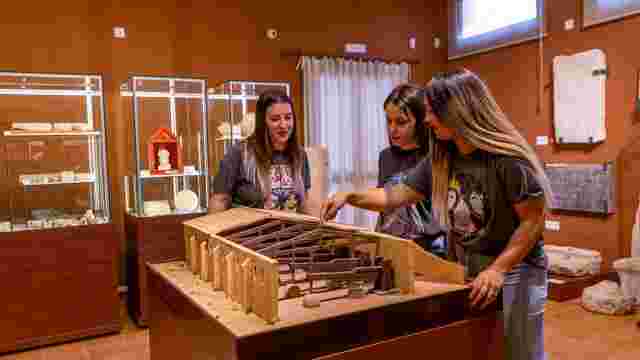
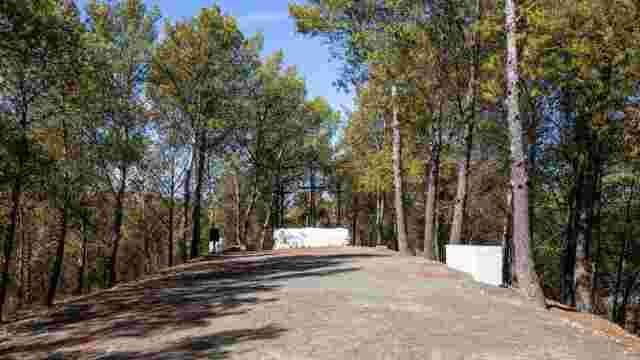
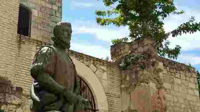
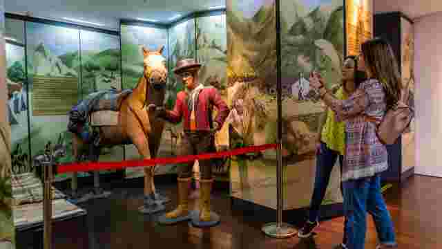
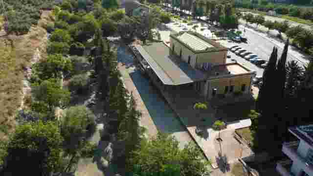
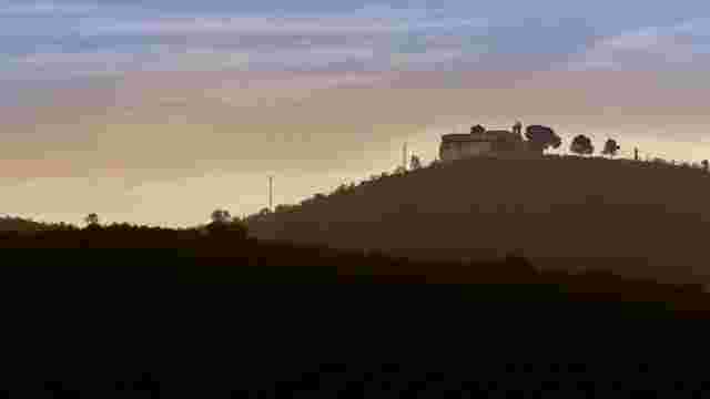
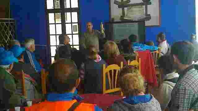
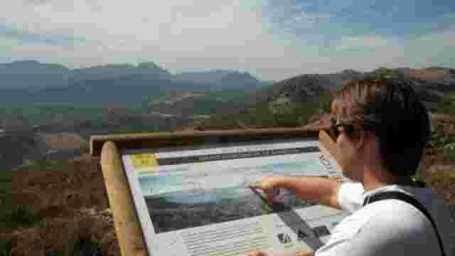
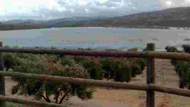
The Civil War (1936–1939) Archaeological Trail in Priego de Córdoba
Explora búnkeres, refugios antiaéreos y puestos de fusileros en un entorno histórico y natural único. Ideal para amantes de la historia y la naturaleza.
Priego de Córdoba Civil War (1936–1939) Archaeological Trail
UTM COORDINATES (ETRS89)
CERRO DEL CERCADO
(X) 397,316
(Y) 4,154,833
531 m a.s.l.
CERRO DE LA TABERNA
Bunker 1 (South)
(X) 398,558
(Y) 4,154,557
537 m
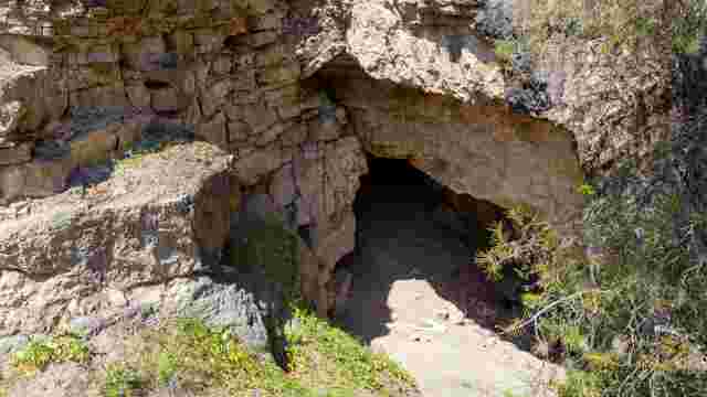
Air-raid shelter
(X) 398,513
(Y) 4,154,563
539 m
Bunker 2 (North)
(X) 398,497
(Y) 4,154,782
538 m
Rifle post
(X) 398,516
(Y) 4,154,756
540 m
CERRO DE LOS MOLARES
(X) 397,954
(Y) 4,158,465
414 m a.s.l.
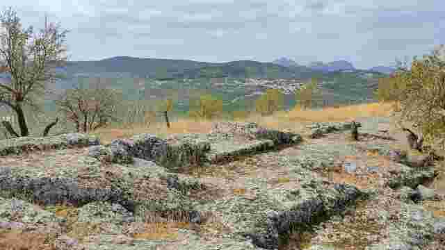
Roman Villa ‘El Ruedo’
Iberian settlement ‘El Cerro de La Cruz’
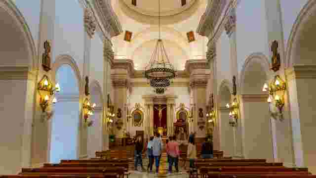
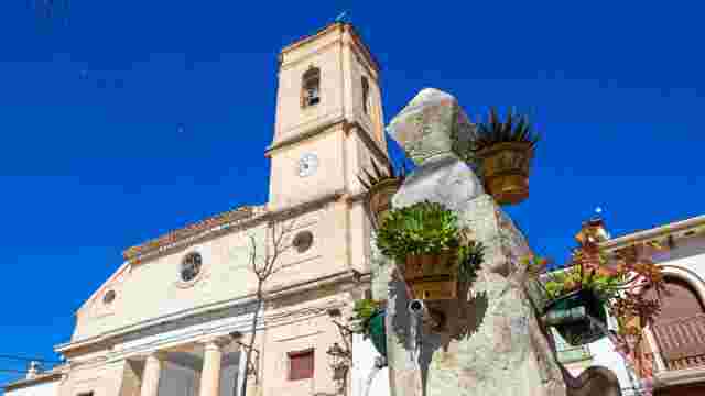
ST JOHN THE BAPTIST PARISH
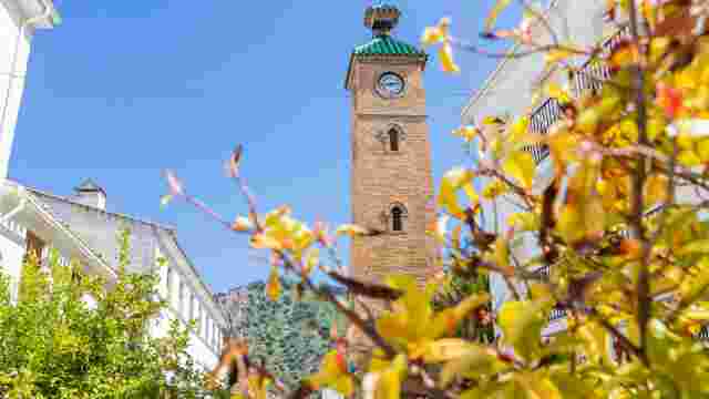
CLOCK TOWER
FUENTE GRANDE
BRACANA
VALERO SALE
SILERAS
THE RIVERS
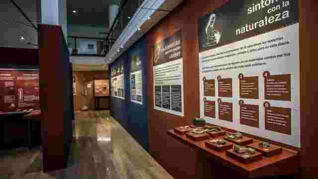
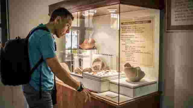
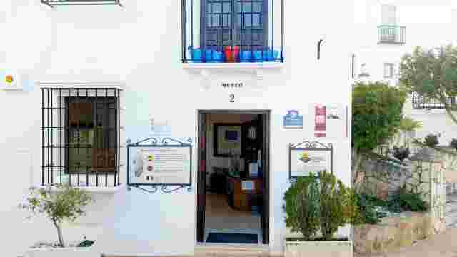
Almedinilla History and Archaeology Museum
RAMÓN Y CAJAL STREET
The Plaza de los Cuatro Caños
“El Pingorote” Viewpoint
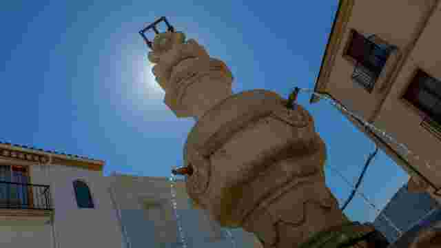
The Lion Fountain
“Cerro de la Cruz” Chapel and Viewpoint
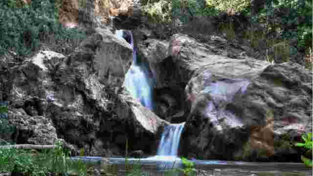
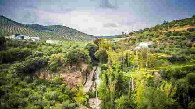
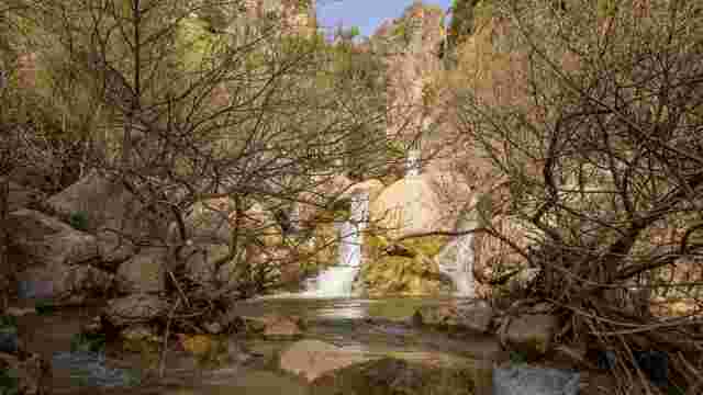
‘El Zurreón’ Waterfall
‘El Huerto de San Juan’ Park
Fuente Ribera
Almedinilla Amphitheatre
‘El Salto del Caballo’ Waterfall
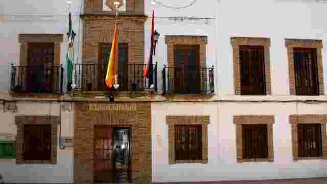
Almedinilla Town Council
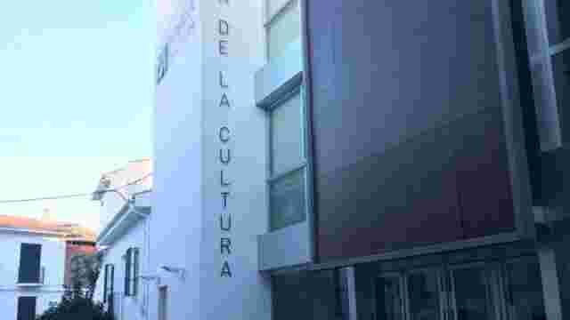
House of Culture
The ‘La Encantá’ Cave
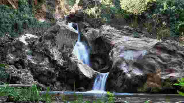
Zurreón Waterfall
Pingorote
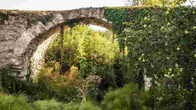
Hernán Ruiz II Renaissance Bridge
Façade of the former Convent of Our Lady of Los Remedios (of the Order of Discalced Carmelites)
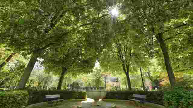
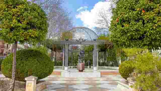
The Gardens of the Poet Amparo Lara Fuentes
Paseo Reina Sofía (commonly known as ‘La grieta’)
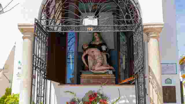
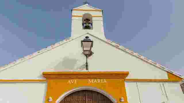
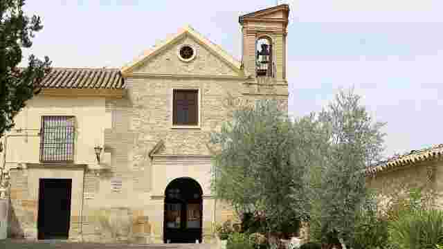
Oratory of Our Lord of Mercy (18th to 20th centuries)
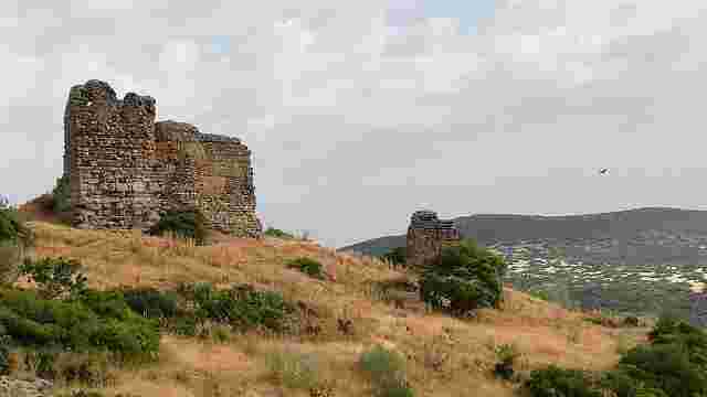
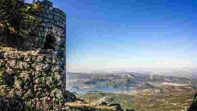
HINS BANI BASHIR ARAB FORTRESS
LA ACEÑA
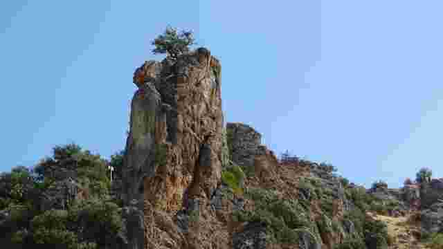
Grey Rock
LOS CAÑOS NATURE RESERVE
THE DEHESILLA SPRING
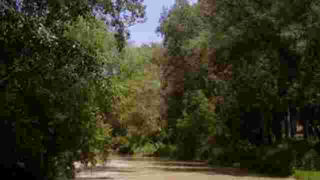
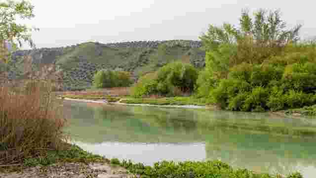
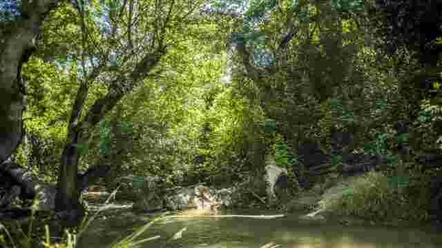
UNDERSTORY OF THE GENIL RIVER
Shrine of Our Lady of Grace Crowned
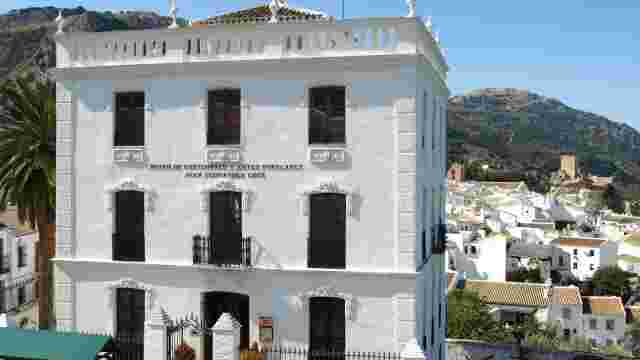
Duchess of Benamejí Museum
Parish of the Immaculate Conception
Chapel of Saint Sebastian
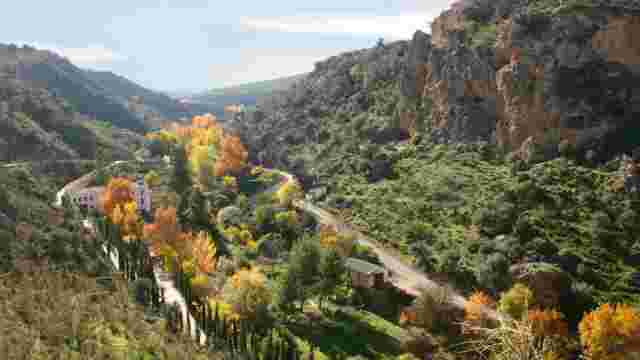
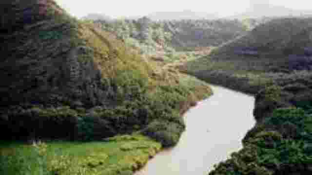
River Genil valley
El Tejar

Greenway tourist hostel

Gaena – Galician Houses

Huertas Bajas

Cerro de la Merced

La Beleña Cemetery
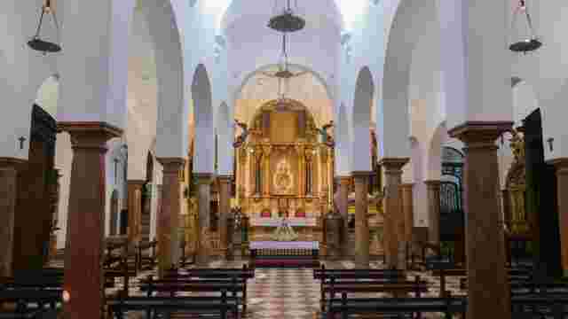
Main Parish Church of the Assumption
Chapel of Our Lady of the Mountains
Source of the River
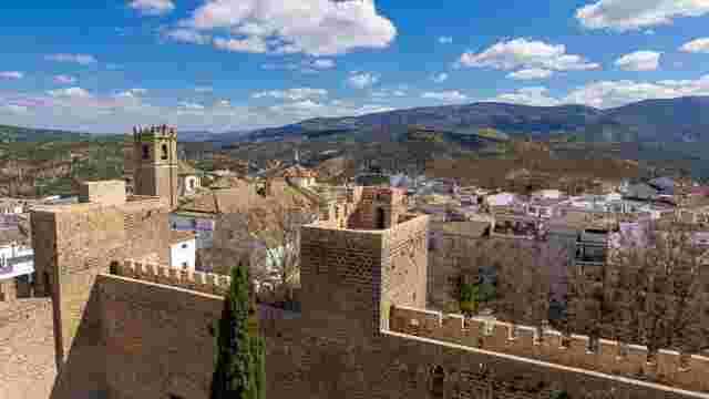
CASTLE OF THE COUNTS OF CABRA
Church of St John of God
Church of the Augustinian Sisters
Church of San Juan del Cerro
Church of Santo Domingo
Church of Los Remedios
Cabra Bullring
Birthplace of Juan Valera
Cerro neighbourhood
Friendship Circle
Alcántara Romero Promenade
DEFENSIVE WALLS
Cayetano Muriel's House
THE SWORD OF EL CID THE CHAMPION
Jurassic Goat Interpretation Centre. Currently being relocated
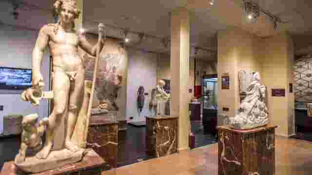
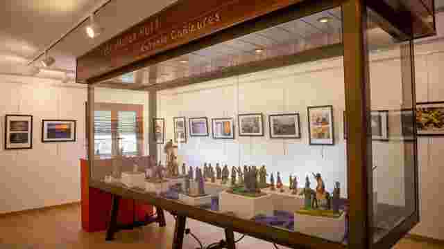
Archaeological Museum
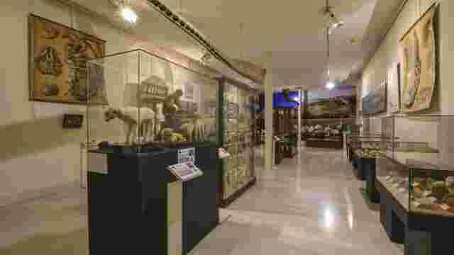
Natural History Museum
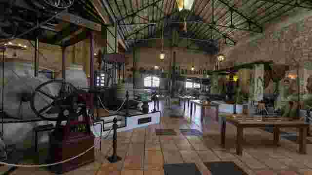
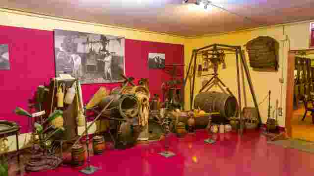
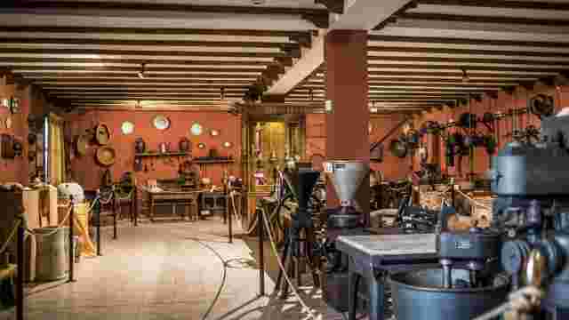
“El Molino Viejo” Olive Oil Museum
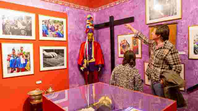
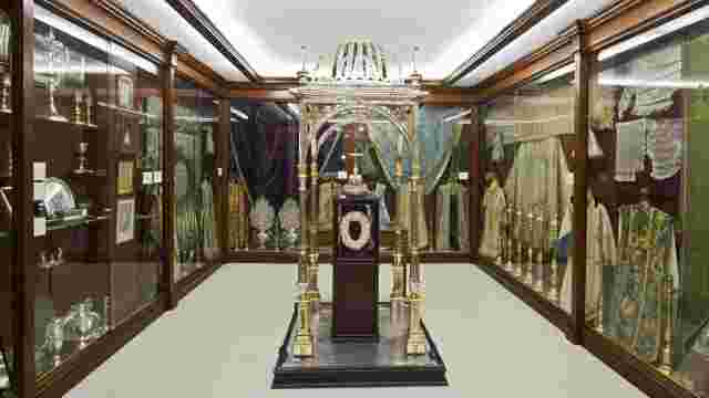
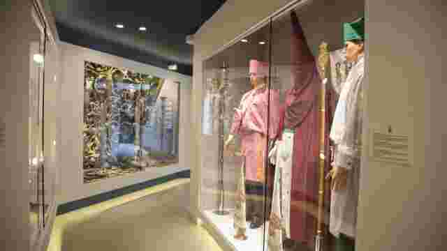
Museum of the Passion
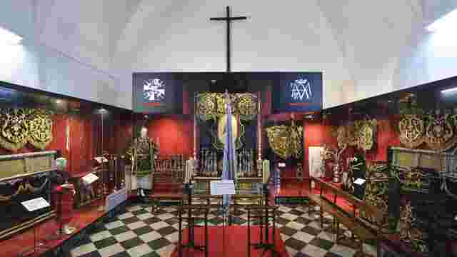
Museum of Sacred Art of the Brotherhood of the Buen Fin
La Viñuela Estate
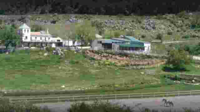
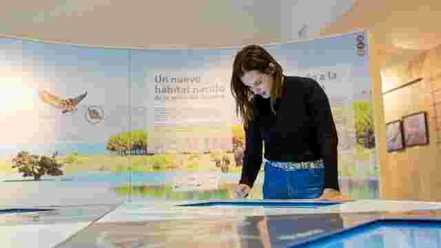
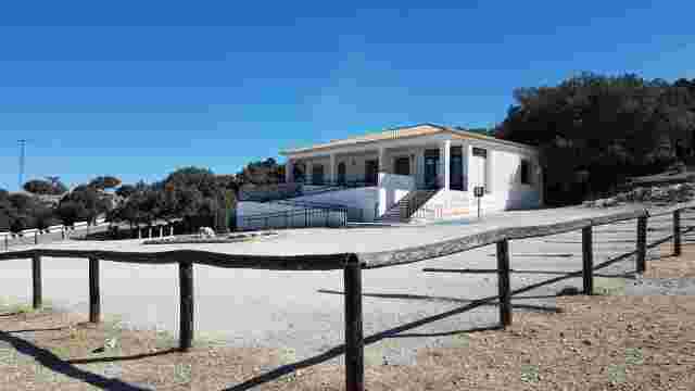
Sierras Subbéticas Natural Park ‘Santa Rita’ Visitor Centre
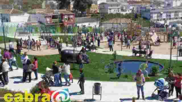
Children's City
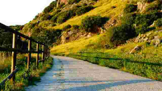
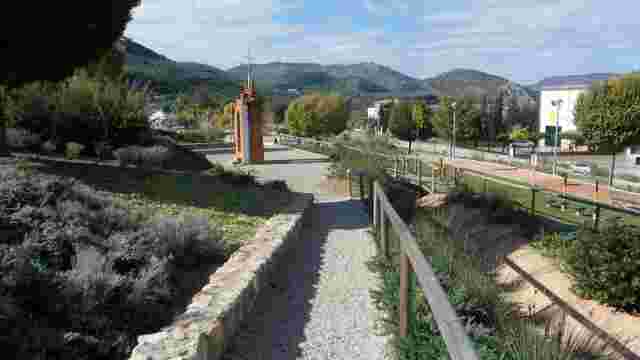
Greenway
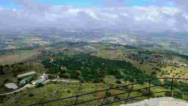
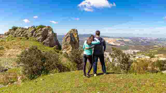
Picacho – The Sierra de Cabra mountain range

KARST LANDSCAPE
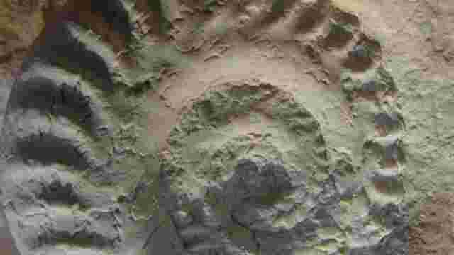
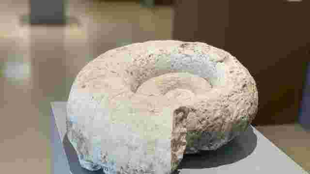
The Ammonites

Carcabuey Castle

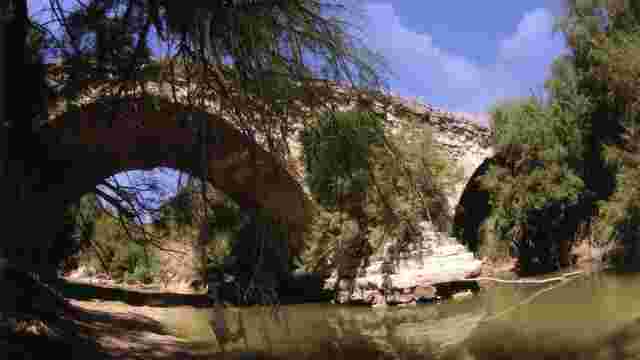
"The Stone Bridge (Caliphate Bridge). The Caliphate Route"
MOUNT CALVARY
Rafaela Park
THE Cistern
MONUMENTS TO EMIGRANTS AND CENTRE FOR DESCENDANTS

Cistern
CARCABUEY MUNICIPAL HISTORICAL MUSEUM
ALGAR CASTLE
CAÑUELO PROMENADE
CARCABUEY MUNICIPAL PARK
LAS FUENTES DEL CASTILLEJO RECREATIONAL AREA
EL PALANCAR RECREATIONAL AREA
CALIPHATE BRIDGE
ALGAR VIEWPOINT
CERRO MORO VIEWPOINT
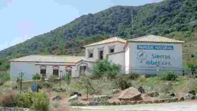
SANTA RITA VISITOR CENTRE
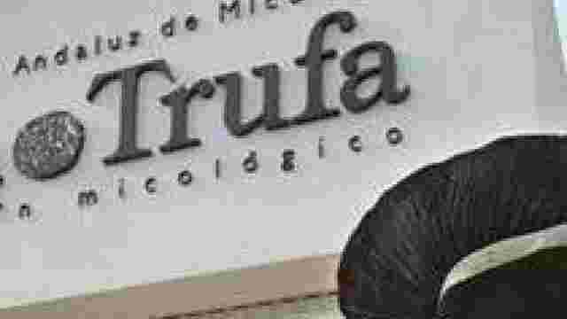
TRUFFLE MYCOLOGICAL GARDEN
VEHICLES AND HOUSING DEPARTMENT
Carcabuey Castle
Church of the Assumption
St Mark's Church
Hermitage of Saint Anne
Castle Chapel
Shrine of Our Lady of Sorrows
Fuente del Pilar
Carcabuey Municipal History Museum
LA CHARCUELA
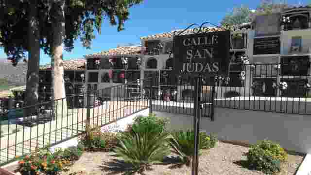
CEMETERY
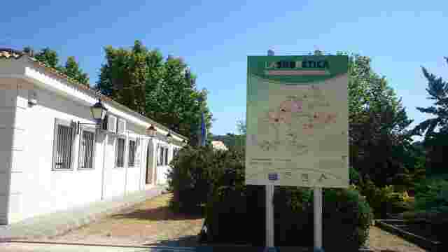
SUBBETICA ASSOCIATION OF MUNICIPALITIES
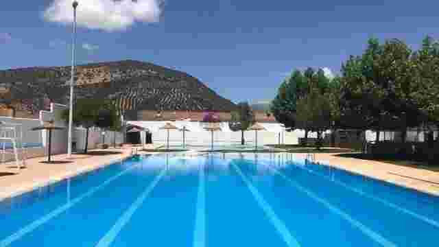
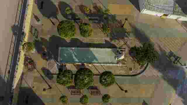
SWIMMING POOL
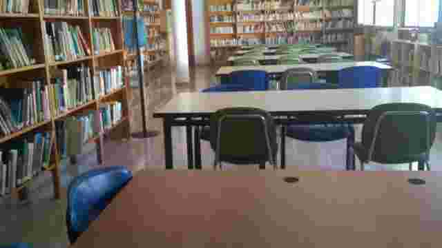
LIBRARY

FLY GUADALINFO
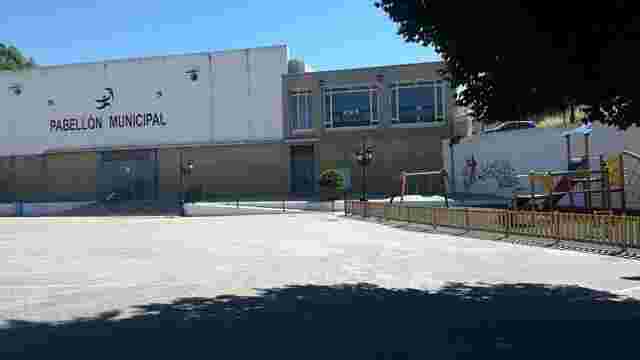
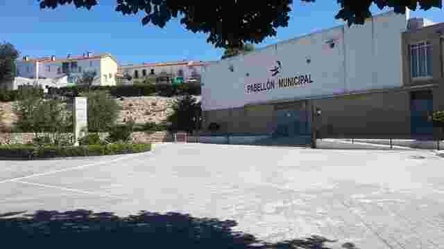
SPORTS HALL
FOOD MARKET
MULTI-PURPOSE BUILDINGS
CARCABUEY TOWN COUNCIL

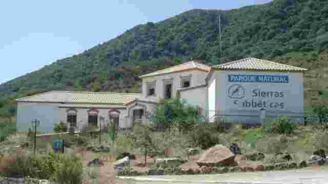
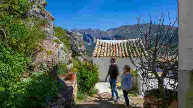
SUBBÉTIC MOUNTAINS NATURAL PARK
ALGAR (VILLAGE OF CARCABUEY)
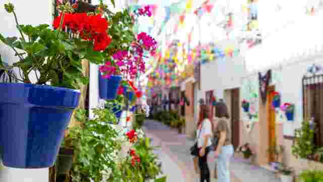
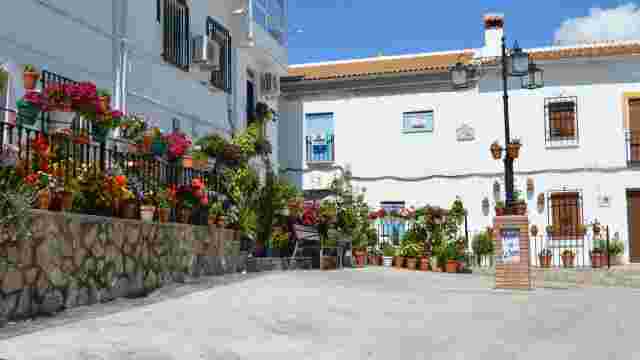
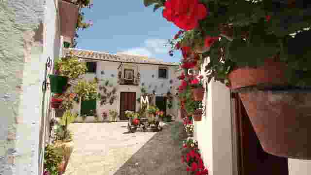
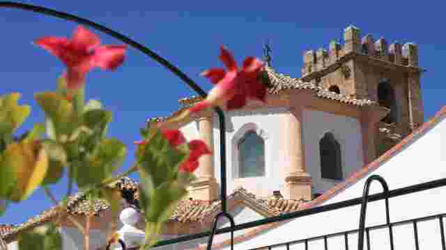
Streets of Flowers
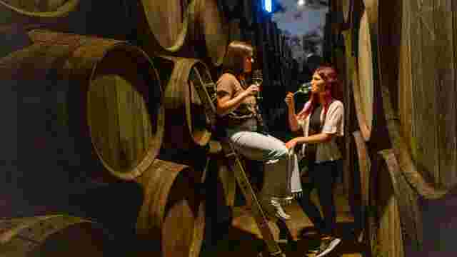
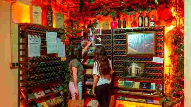
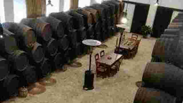
Luque Wineries
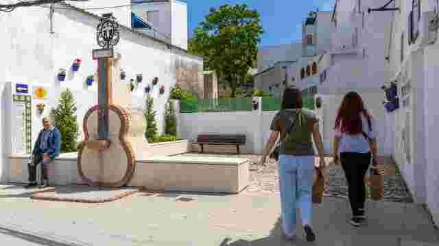
Guitar neck
The Silver Tower
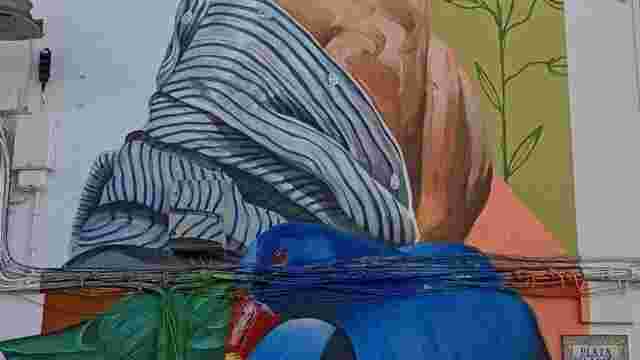
Mural: "The Lady of Fenghuang"

Frasquito Priego Shop
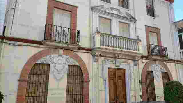
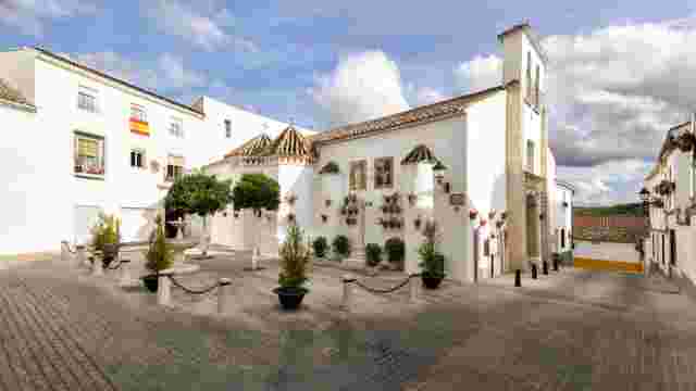
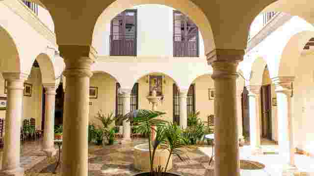
Manor houses on Granada Street
Pilar de Henazar
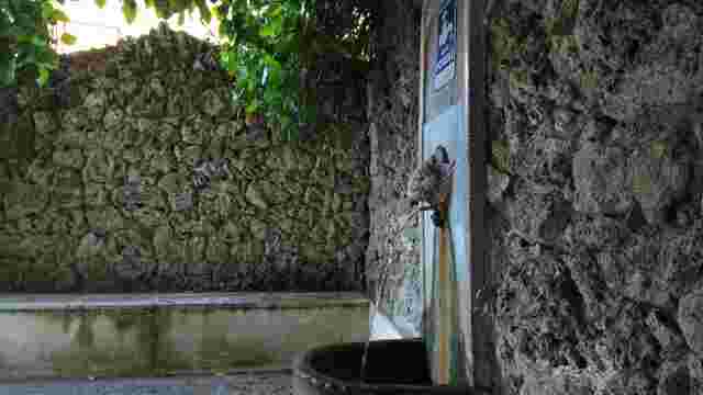
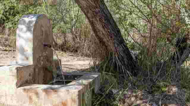
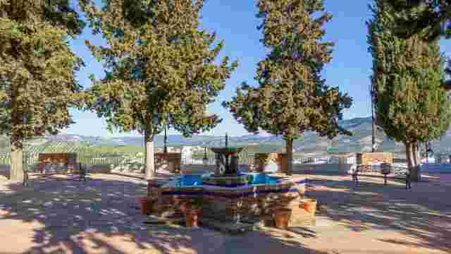
Source: Las Pilas
El Laderón
Menciano Wine Museum
Doña Mencía Castle
Old Church
Chapel of the Holy Spirit
Calvario Chapel and Viewpoint
Llana Street
Lower pillar
Municipal Quay
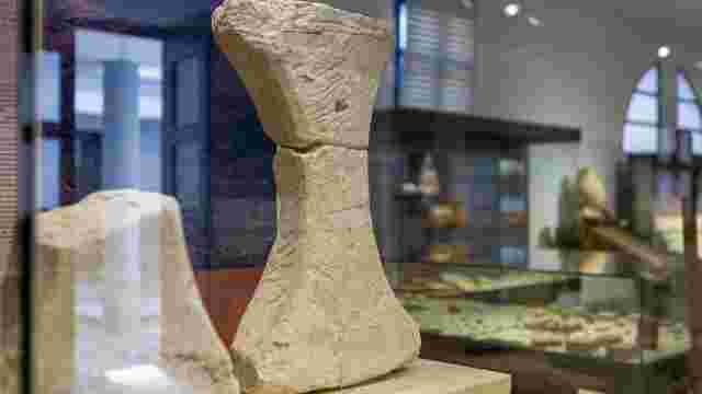
Doña Mencía Historical and Archaeological Museum
Menciano Wine Museum
The Mule's Ear
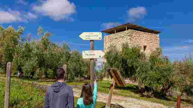
GREENWAY AND SUBBÉTIC MOUNTAINS NATURAL PARK
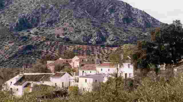
Village of Vadofresno

Skunk
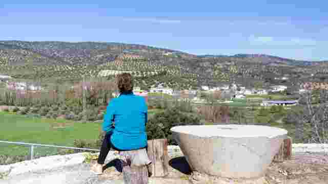
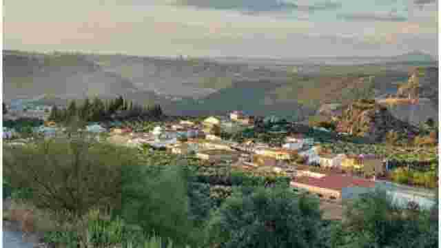
The natural surroundings of Encinas Reales and the River Genil
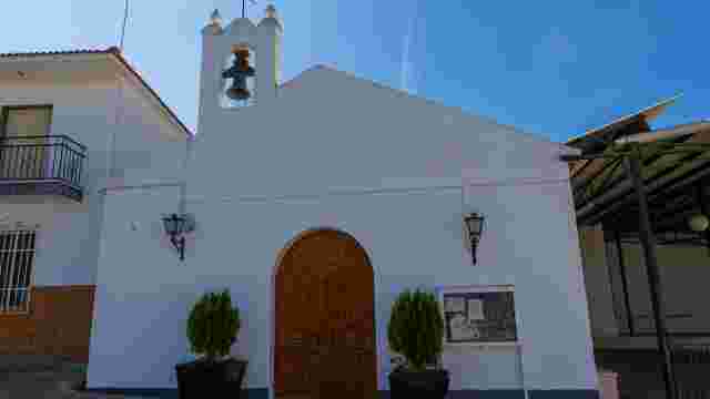
Church of Our Lady of Hope
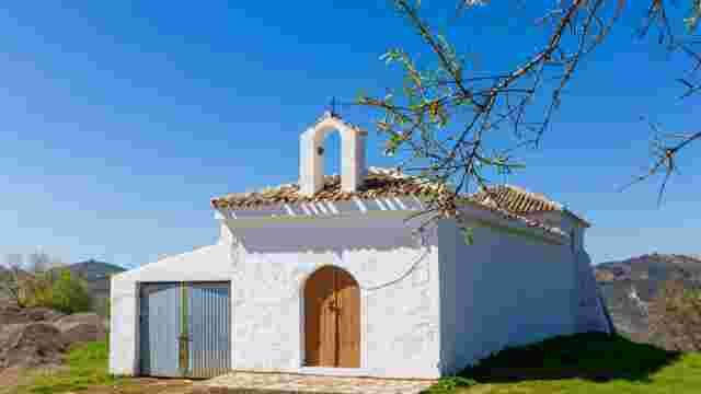
Chapel of Our Lady of Bethlehem, in Vadofresno
Chapel of Our Father Jesus of Sorrows, El Calvario
Lookout of the Canteruela
Trowel
All-air
Cerro de la Mesa
"El Lucerico" Mill
Parish Church of Our Lady of the Rosary
Fuente Tójar Municipal History Museum
Cerro de las Cabezas
Calvary Chapel
Fountain Square
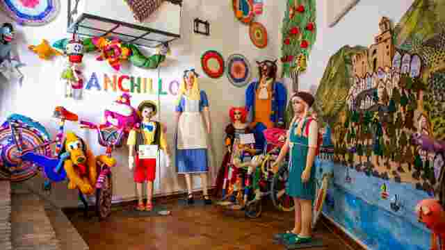
Urban Knitting Museum
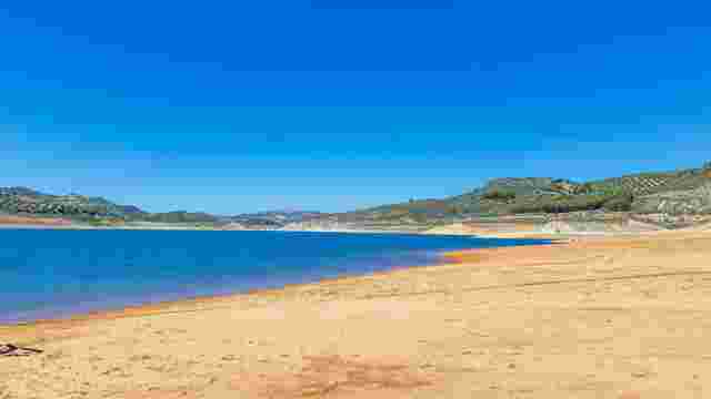
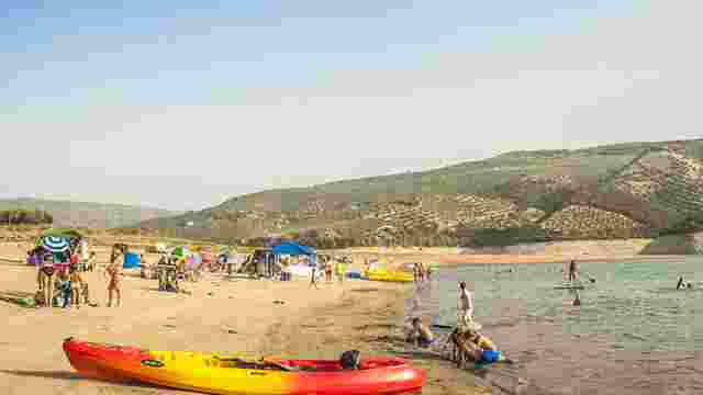
Valdearenas Nature Reserve and Beach
Corral de la Pacheca
Tajos and Barrio del Coso
Plaza de la Torre
Plaza Nueva
Moltura Cultural Centre
Micla Museum Gallery
The Peñón Neighbourhood and the Cave House
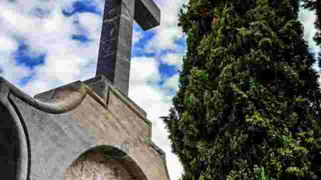
Cemetery
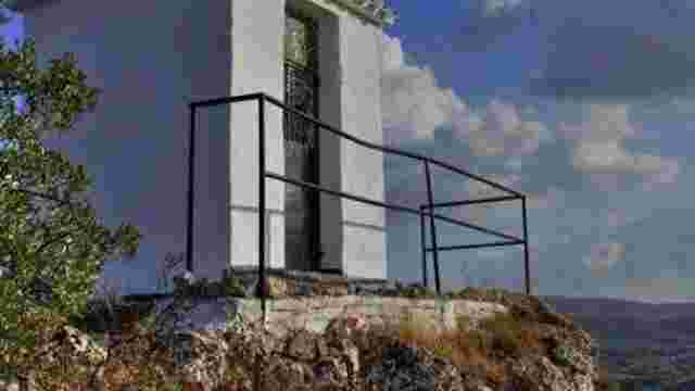
Cruz de San Pedro Viewpoint
Cruz del Postigo Viewpoint
Villa Viewpoint
Las Peñas Viewpoint
The Three Crosses
Constitution Promenade
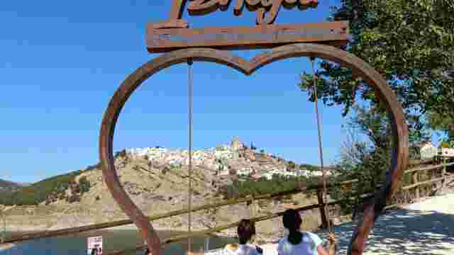
Tourist swing on the Paseo de las Canteras
Molinillo Bridge
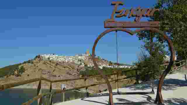
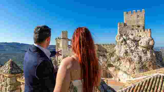
Iznájar Castle
Iberian fortified settlement on Cerro del Castillejo (La Hoz)

Archaeological remains at Cerro del Hachuelo
The Iberian fortified settlement of La Torre
Iznájar Tourist Swing
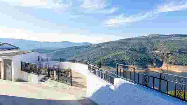
Viewpoints in Iznájar
Julio Burell Municipal Public Library (Former Granary)
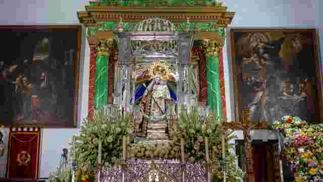
Shrine of Our Lady of Mercy
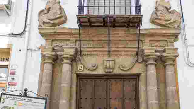
House of the Columns
Rafael Alberti Square
Church of St Joseph
St James the Apostle Parish
Las Comedias Courtyard and San Rafael Tower
San Rafael Tower
Iznájar Castle (Hisn-Ashar)
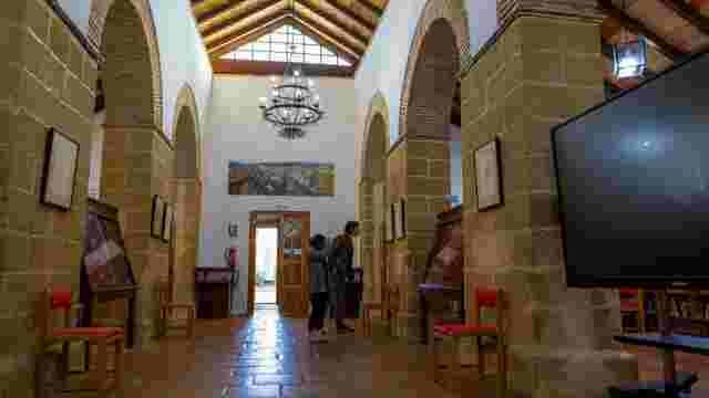
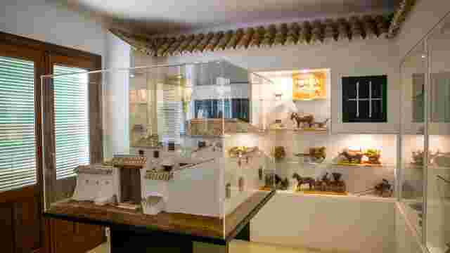
Museum of Arts and Crafts
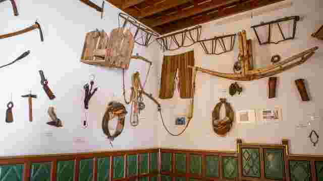
Museum of Farming Implements
Antonio Cañizares ‘el Perlo’ Exhibition Hall
Iznájar Reservoir Visitor Centre
The ‘Juan Pérez’ Museum of Ironwork and Wooden Miniatures
Judea Museum
Antonio Quintana Museum Gallery
Valdearenas (Iznájar)
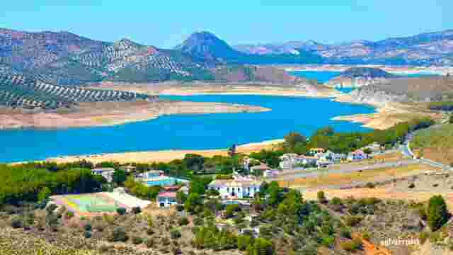
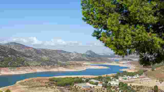
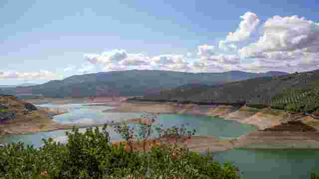
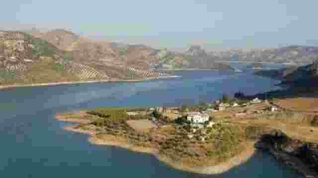
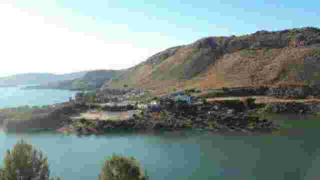
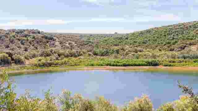
The Iznájar Reservoir
Nature in Iznájar
The Adelantado
Corona, Algaida and Gata
Solerche

Hornets and Torches
Arroyo del Cerezo
Priego Stream, Córdoba
El Higueral
Jaramillo and Lorite
Ventorros de Balerma
Fuente del Conde
Las Chozas
La Hoz
The Helmet
Cierzos and Cabreras
The Councils
Los Juncares
Montes Claros
Valenzuela and Llanadas
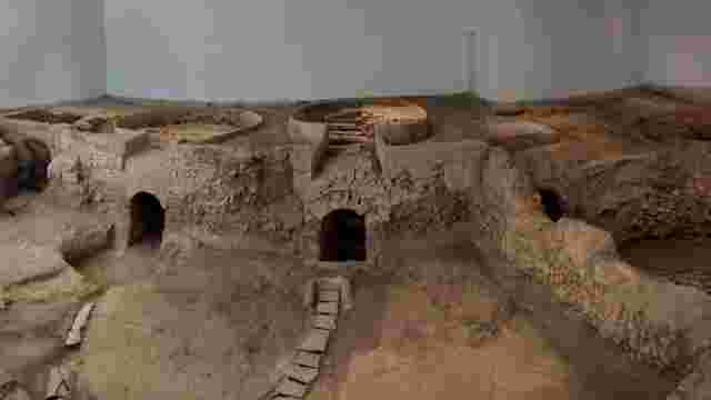
Roman pottery workshop
González Palma Manor House
Sculpture by Luis Barahona de Soto
Sculpture by Luis Fernández de Córdoba
St Matthew's Parish
Chapel of the Tabernacle of Saint Matthew
Castillo del Moral – Archaeological and Ethnological Museum
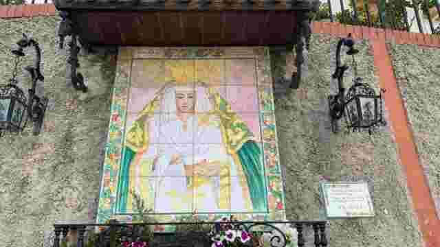
Royal Shrine of Our Lady of Araceli
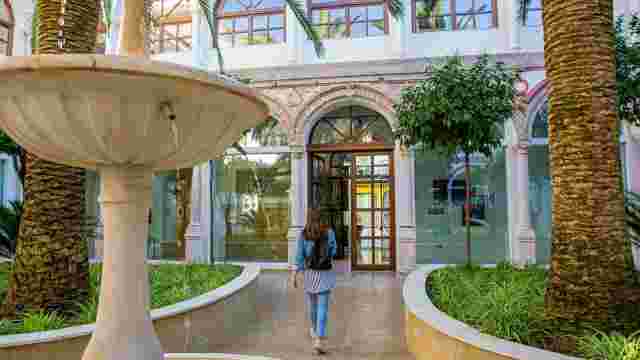
Palace of the Counts of Santa Ana – City Interpretation Centre
Parish of Santiago
Church of Saint Peter the Martyr of Verona and Chapel of Our Father Jesus of Nazareth
Parish of Saint Dominic of Guzmán
Jewish cemetery
Mora House
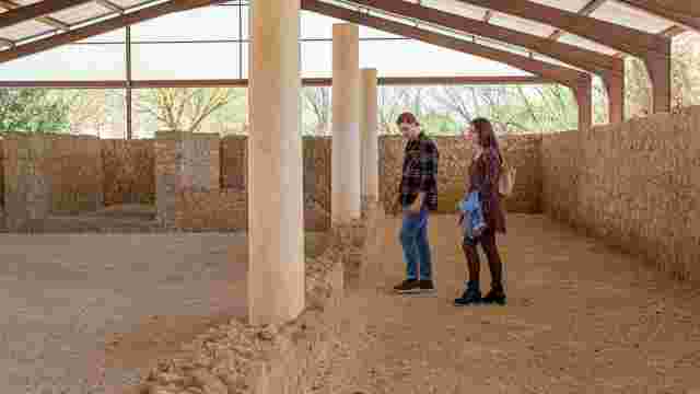
The Abyss and Archaeological Site of Cueva del Ángel
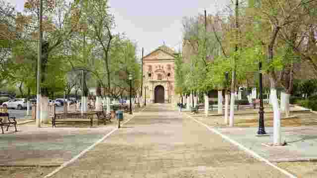
Church of Our Lady and the Convent of the Franciscan Friars
St Carmen's Parish
Church of St John the Baptist and the former Hospital of St John of God
Convent Church of San Martín (San Agustín)
Aurora Chapel
Chapel of God the Father
Church of the Immaculate Conception
Church of St Philip Neri
Parish of the Holy Family (El Valle)
Early Christian Basilica of Coracho
The House Museum of Our Lady of Araceli
Brotherhood House & Museum of Christ of Love and Mary of Peace
Theme Centre on Romantic Banditry (Jauja)
El Alfoli Museum and Winery
Permanent exhibition of Lucena candle-making crafts – Casa de los Mora
Permanent exhibition ‘Our School’ – Casa de los Mora
Santiago neighbourhood
La Barrera neighbourhood
Paseo del Coso, ‘Plaza de España’
Plaza Nueva
The Station - Nature Classroom
Palace of the Counts of Hust – Municipal Library
The area around Lake Andalucía

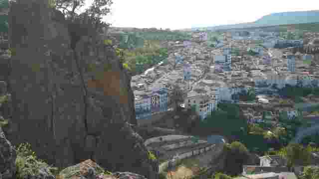
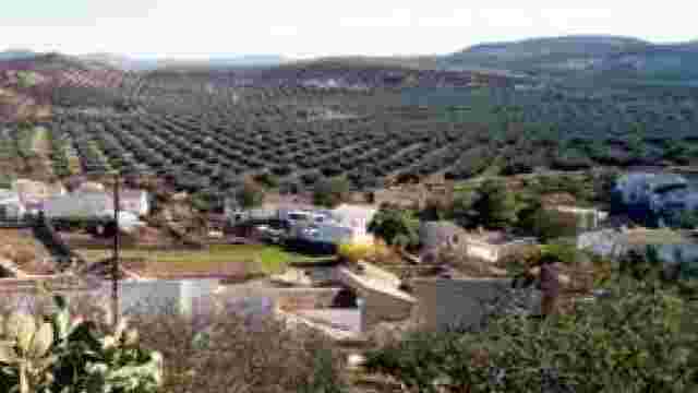
Lucena: the gateway to the Subbética Geopark
The River Anzur
The Sierra de Aras, a Natural Monument
Olive Oil Greenway
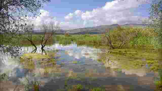
The Wetlands of Lucena
Navas del Selpillar
Jauja, the Bandit
Four Corners Square
Viewpoint on the Paseo de las Fuentes
Viewpoint at the Cueva de la Encantada

The Cave Paintings of Castillarejos

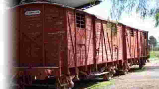
Luque Station
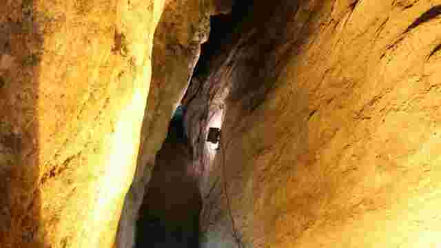
The Enchanted Cave
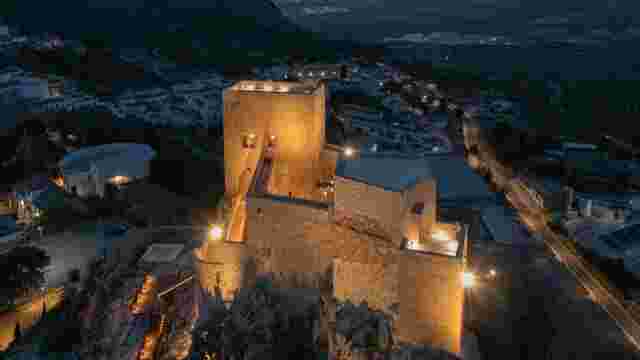
Luque Castle (Hisn Lukk)
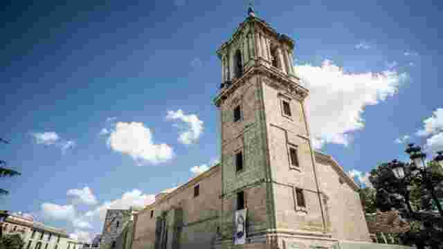
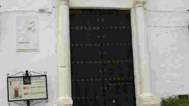
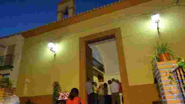
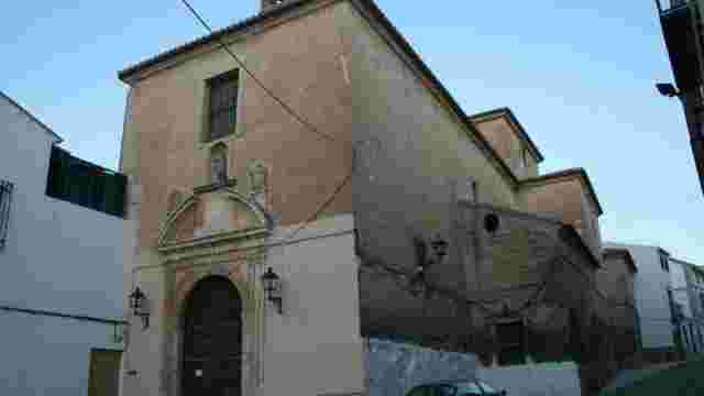
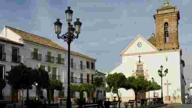
Parish of Our Lady of the Assumption
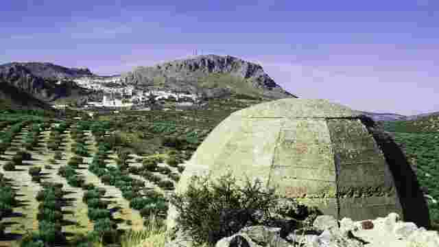
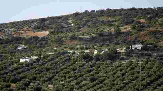
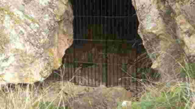
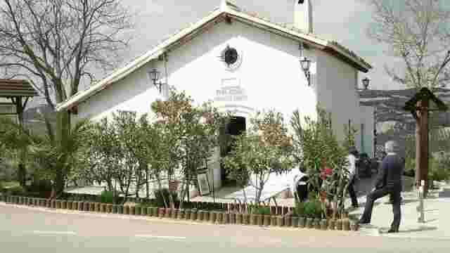
The Alamillo bunkers
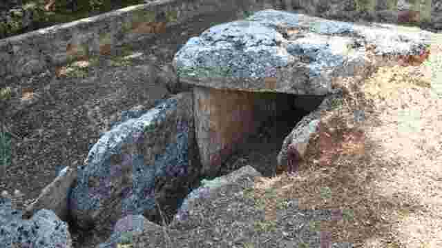
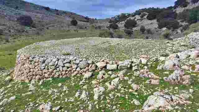
Dolmen of La Lastra
Chapel of Our Lady of the Rosary
Chapel of St Bartholomew
Convent Church of Our Lady of Grace
Aurora Chapel
Jesús Nazareno Hospital
Civil clock tower
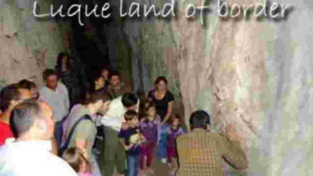
Luque Municipal Museum: Land of Frontiers
Luque Olive Oil Interpretation Centre
Laguna del Salobral
Las Buitreras
Discover the Greenway
Nature reserve
19th-century houses in Plaza del Carmen
Parish of Saint Michael
Chapel of St Luke

Natural Landscape Theme Centre (Palenciana)
Vegetation of Palenciana
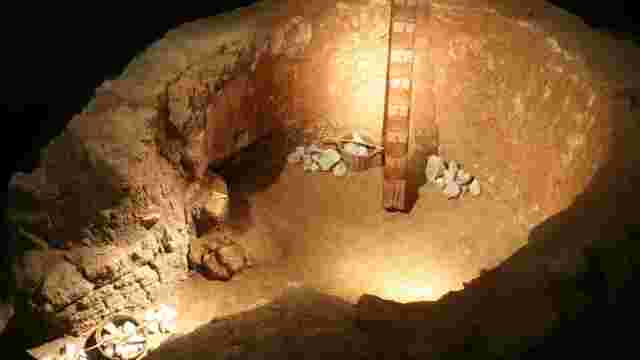
Lime kiln (1st–2nd centuries)
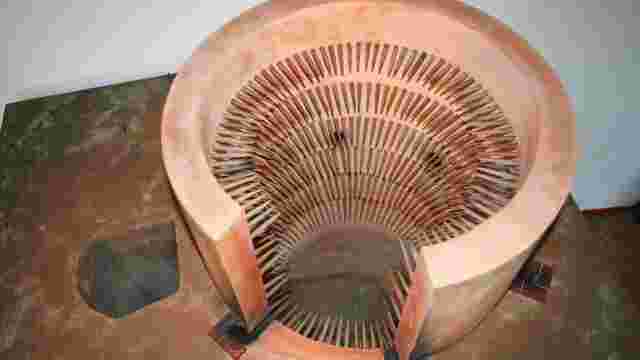
Ceramic kiln (12th–13th centuries)
Santo Cristo Square
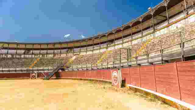
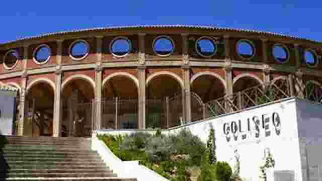
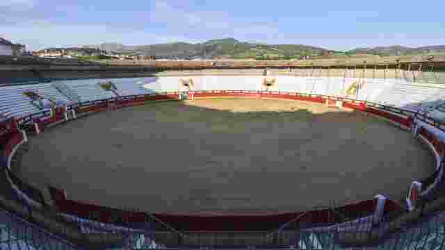
Priego de Córdoba Bullring
Church of St Francis
Church of Our Lady of Mount Carmel
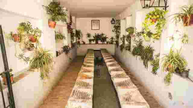
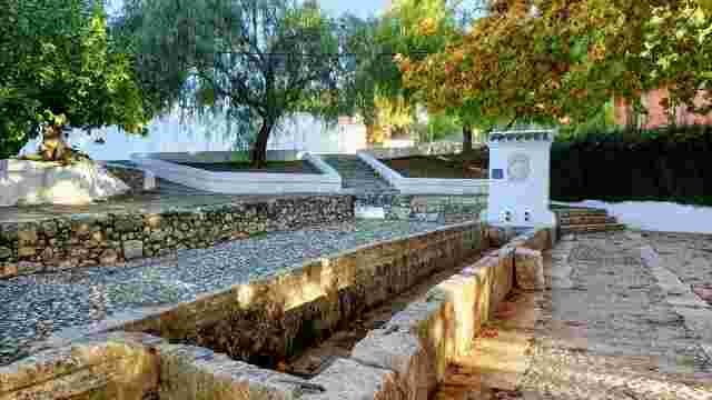
Public Washhouse on Calle Loja
Chapel of Bethlehem
Church of Las Mercedes
San Juan de Dios Hospital and Church
Church of Our Lady of Sorrows
St Peter's Church

Royal Butchers
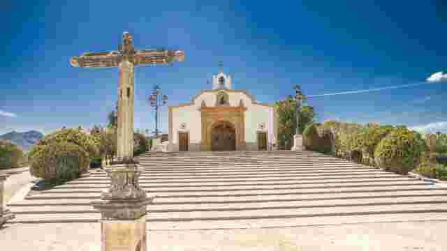
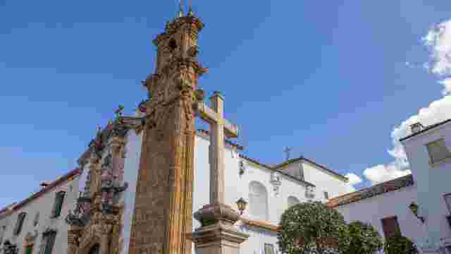
Calvary Chapel (Priego de Córdoba)
The Bridge It Was Raining
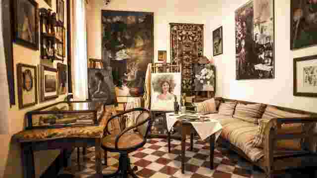
D. Adolfo Lozano Sidro Museum
Francisco Morales Almond Museum
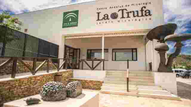
Truffle Mycological Garden
“Antonio Povedano” Centre for Contemporary Spanish Landscape Art
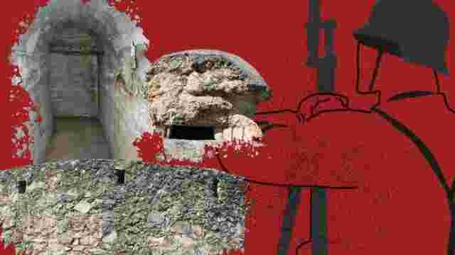
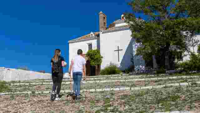
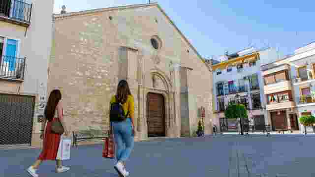
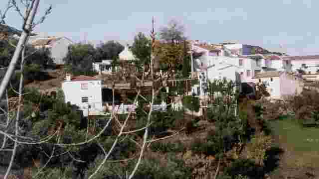
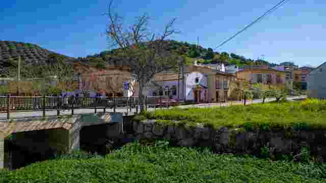
The Civil War (1936–1939) Archaeological Trail in Priego de Córdoba
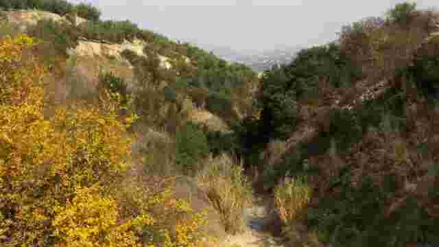
Rock art in Priego de Córdoba
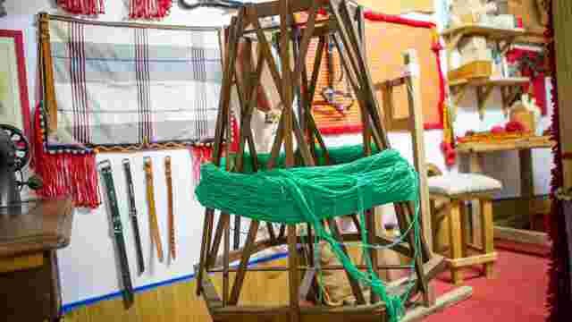
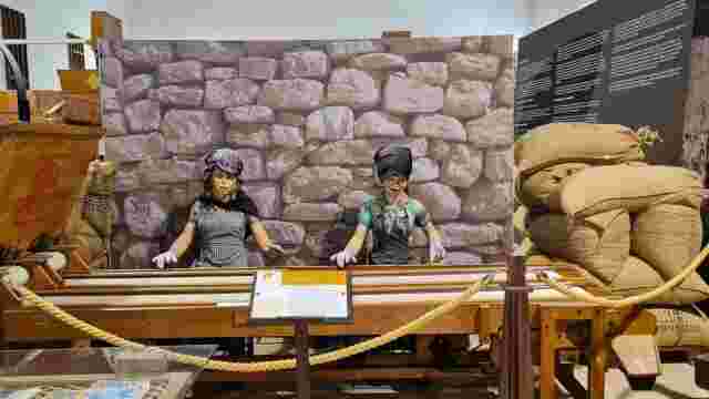
PRIEGO DE CÓRDOBA TEXTILE INDUSTRY INTERPRETATION CENTRE
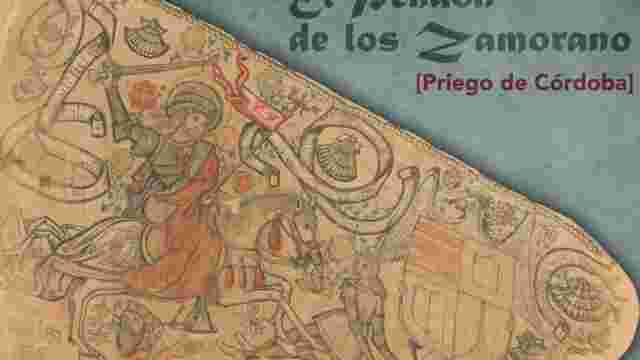
The Zamorano Banner
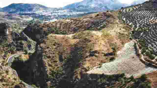
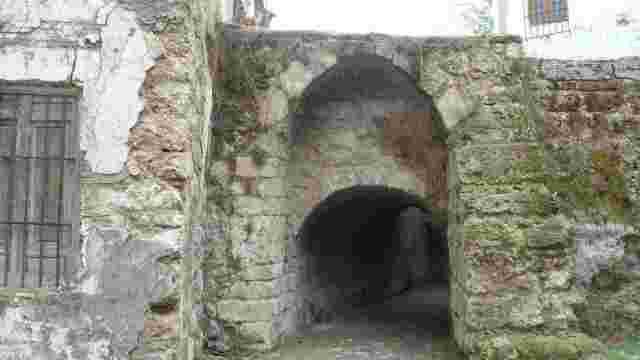
Las Angosturas in Priego de Córdoba
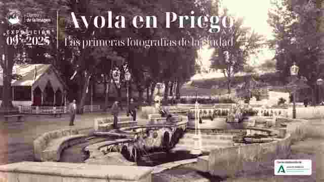
CENTRO DE LA IMAGEN, PRIEGO DE CÓRDOBA
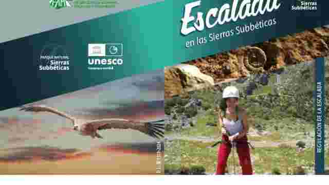
Climbing in Las Angosturas
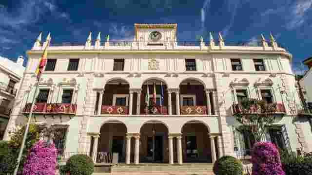
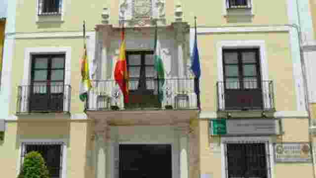
Priego de Córdoba Town Council
Recreo de Castilla or Huerta de las Infantas
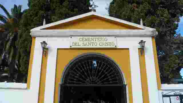
Priego de Córdoba Cemetery
Children's City
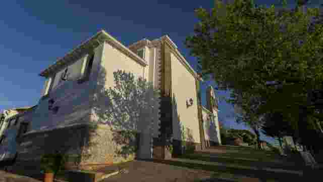
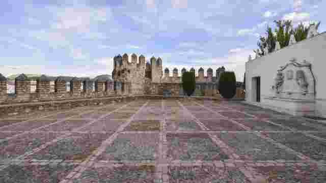
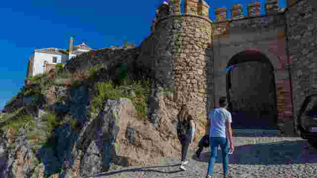
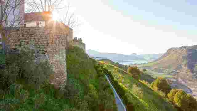
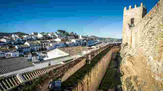
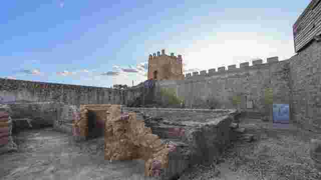
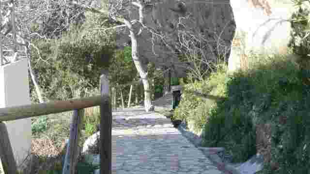
Priego de Córdoba Castle
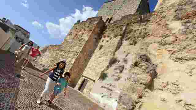
Road to Priego de Córdoba Castle
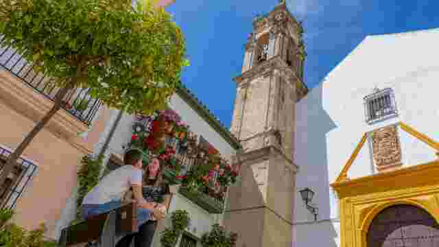
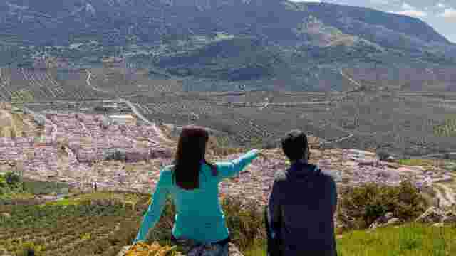
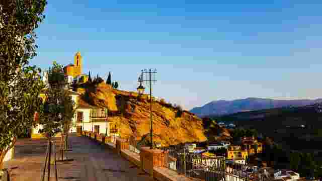
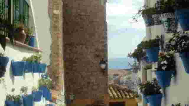
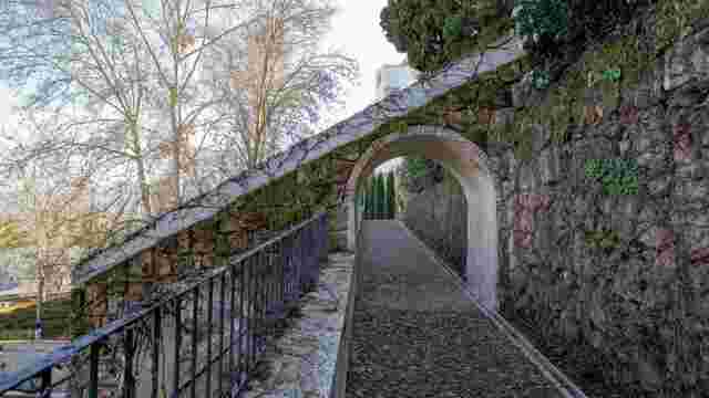
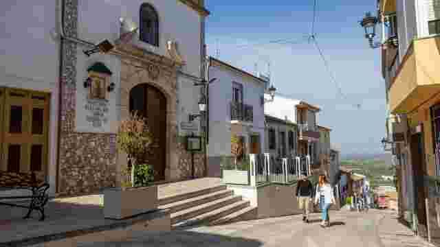
The Villa District and the Adarve Balcony
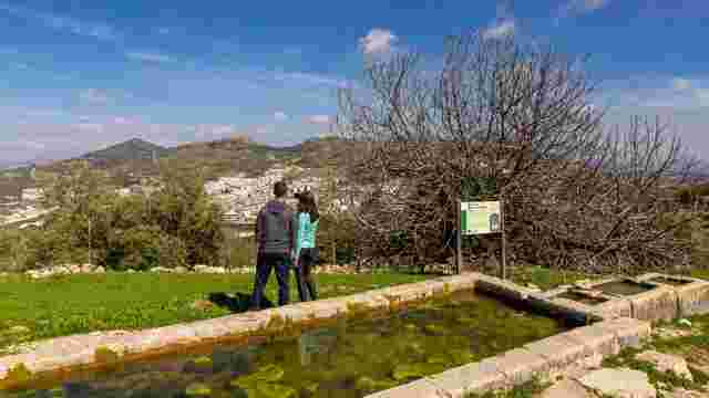
Fuente de la Salud Spring
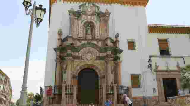
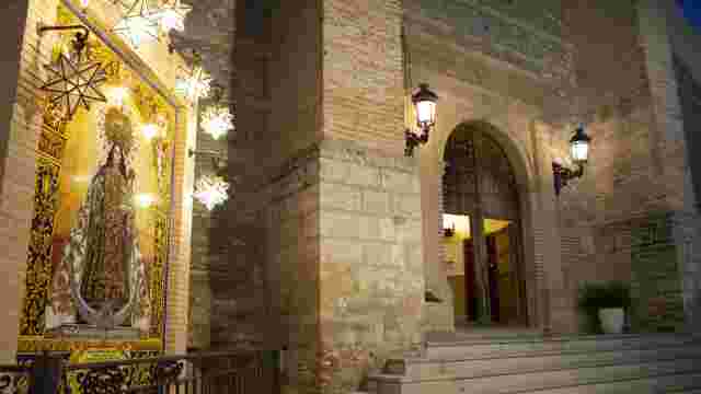
Church of Our Lady of the Dawn
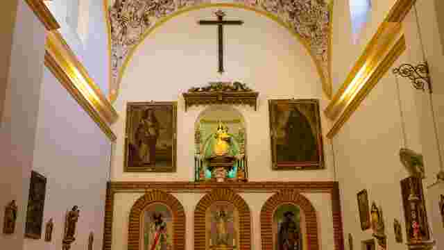
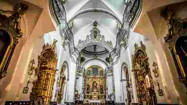
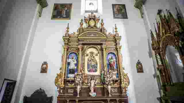
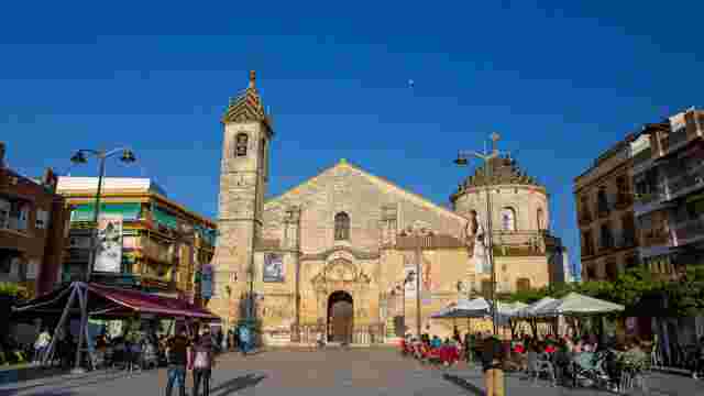
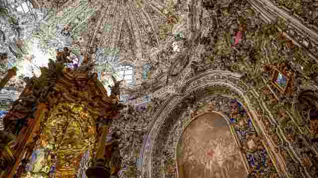
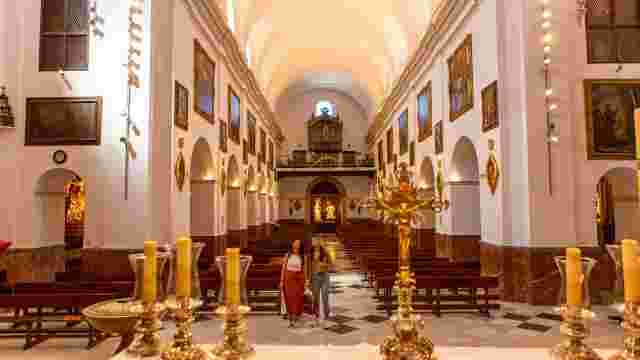
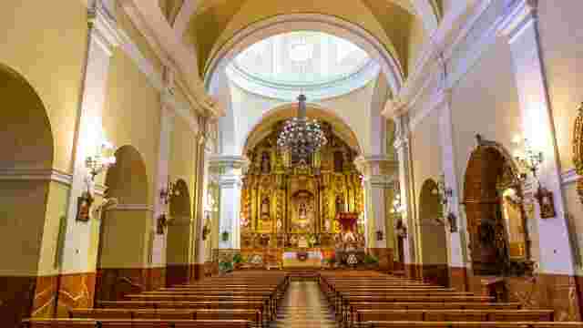
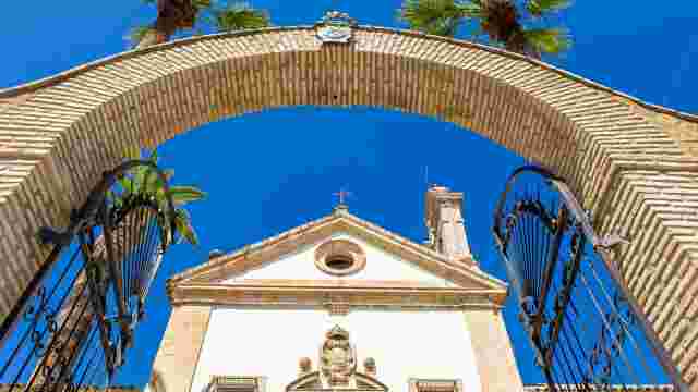
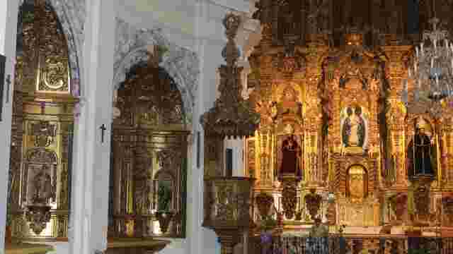
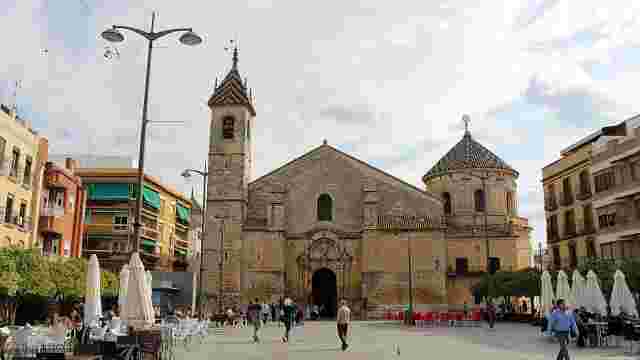
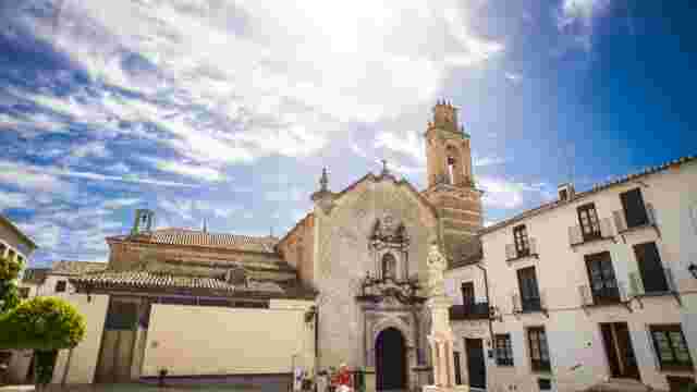
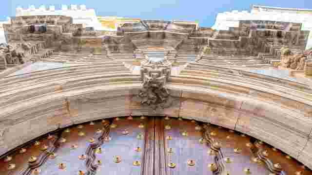
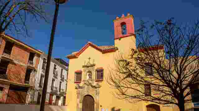
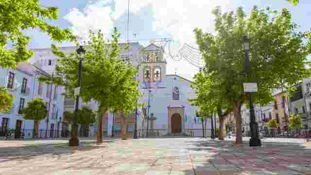
Church of Our Lady of the Assumption
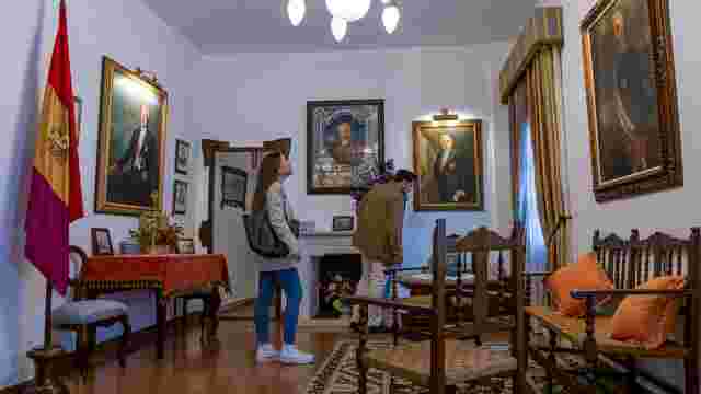
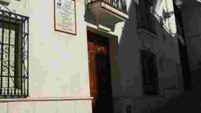
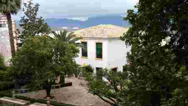
House of D. Niceto Alcalá-Zamora
Colombia Promenade
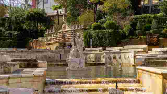
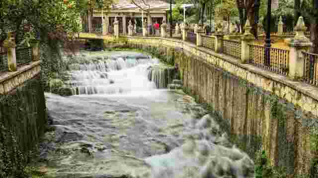
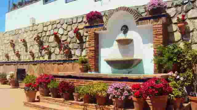
Fuente del Rey
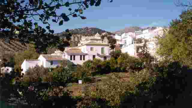
Lower Zagrilla
El Tarajal
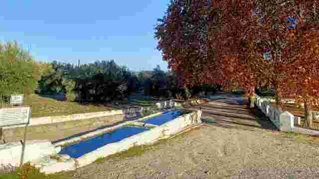
The Little Ponds
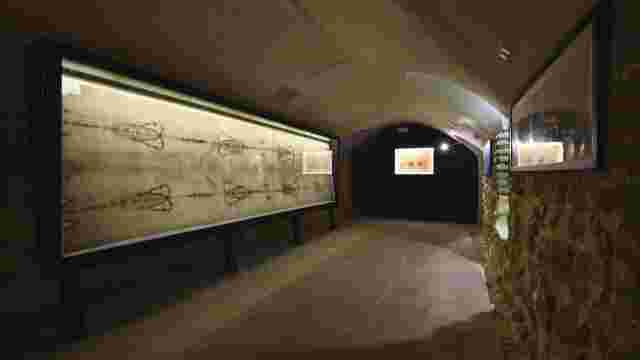
Colour. Earth and air. Sun and water in Priego de Córdoba
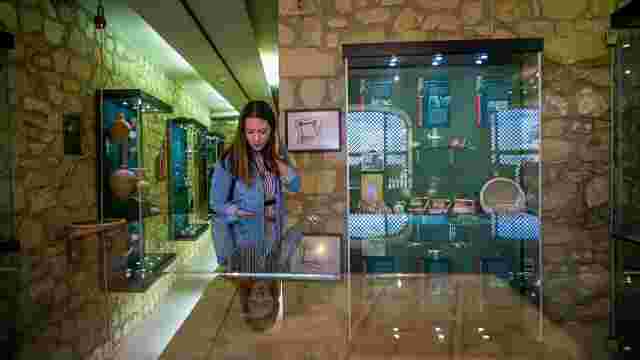
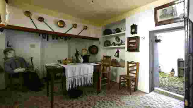
Priego de Córdoba Municipal History Museum
Castil de Campos Museum of Folk Arts and Traditions
Camponubes
Azores
Los Villares
Knee cap
The Solvito
La Concepción
Castile of Campos
Las Higueras
High Zagrilla
The Asparagus
Zamoranos
Pennyroyal
The Navas and La Poyata
El Cañuelo
El Castellar
The Birth of Zambra
Aurora Sánchez Courtyard
Carmen's Corner
El Chorraero Corner
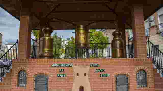
Monument to Aniseed
Parish of Saint Catherine the Martyr
St Francis of Assisi Parish
Shrine of Our Lady of Carmen
Chapel of St Peter
Chapel of La Vera Cruz
Chapel of Saint Sebastian
Aniseed Museum
Museum of Nougat, Mantecado and Marzipan
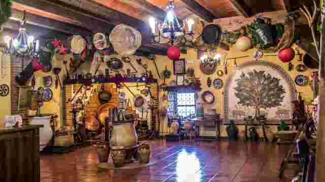
Ham Museum
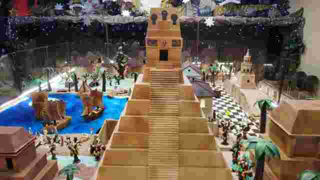
Chocolate Nativity Scene
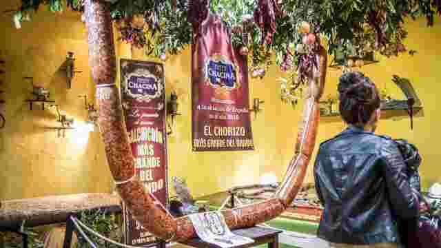
La Chacina Museum
Sugar Museum

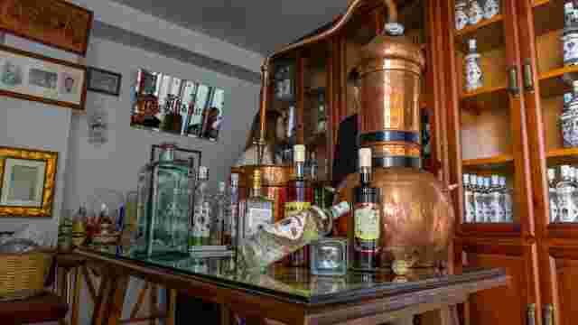
Anís Raza
ADEBO Reserve
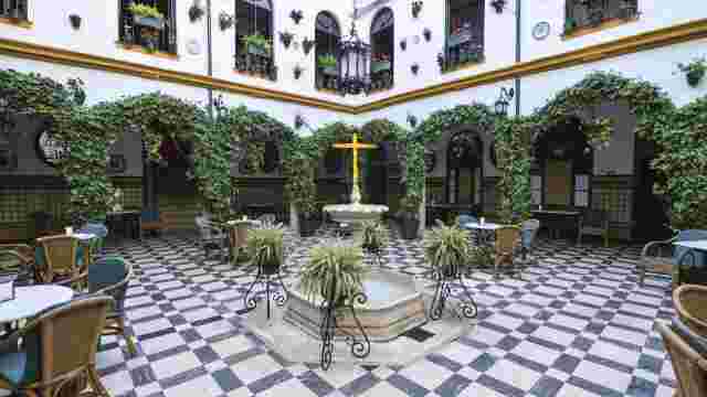
A charming courtyard
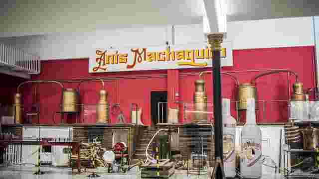
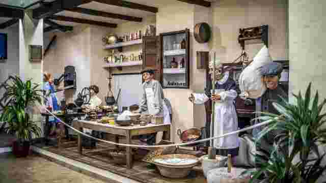
Machaquito Aniseed Museum Distillery
Our Lady of Carmen Park
Anise Altamirano
THE JOINT
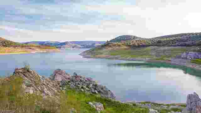
Iznájar Reservoir

Millennial Holm Oak
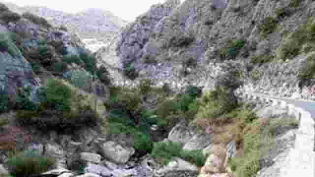
The Gorge of the River La Hoz
Route Mountain Range
Fuente Alta and Old Rute
La Hoz
Zambra
Las Piedras - Palomares
The Plains of Don Juan
“Juan Fernández Cruz” Museum of Folk Customs and Arts
Peri-urban Park
Zuheros Castle-Palace
Zuheros Municipal Museum of History and Archaeology
The Cueva de los Murciélagos Ecomuseum
Francisco Poyato Museum-Studio
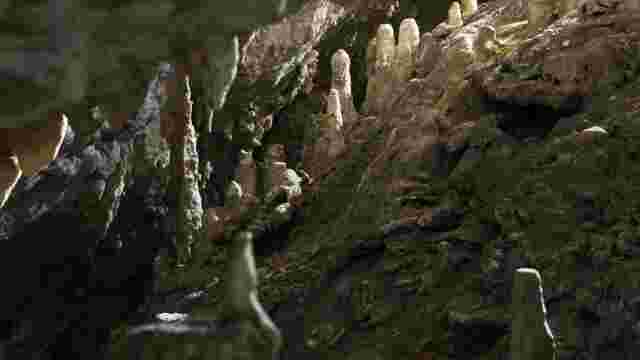
Bat Cave

Subbetic Fauna
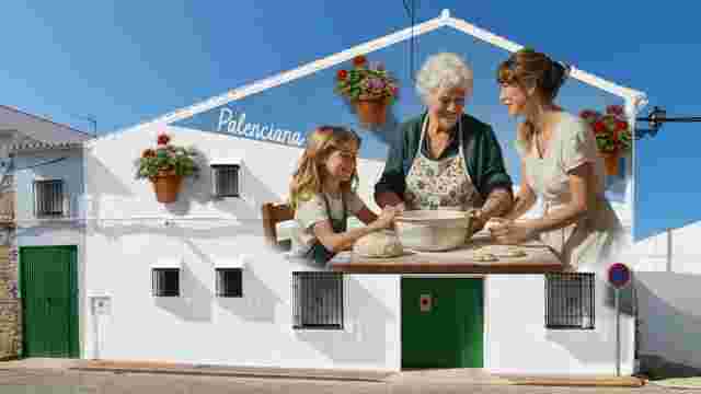
THE SUBBÉTICA MURAL ROUTE
Underwater Route
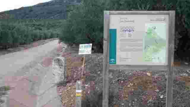
THE OLIVE OIL GREENWAY